
Single Publication
Could not determine your location.
 Wildfire
 Prescribed Fire
 Burned Area
Response
Burned Area
Response Other
Other
Sawlog Fire Morning Update 05-05-2025
Sawlog
Publication Type: News - 05/05/2025 - 09:48
Incident Commander: Richard Griffin (Type 3 IC) and Kyle Errecart (Type 3 IC Trainee)
Location: 15 miles northeast of Wisdom, MT in the Sawlog Creek drainage
Start Date: 05/01/2025
Cause: Undetermined – under investigation
Size: 1,500 acres (estimate from a helicopter mapping operation)
Resources Assigned: 1 crew; 1 engine; 1 light helicopter
Total Personnel: 65
CURRENT STATUS/PLANNED ACTIONS:
Fire behavior moderated yesterday due to increased cloud cover, considerably cooler temperatures, and light precipitation. Fire behavior observations included smoldering, creeping, and some single tree torching. Even with the additional precipitation overnight, the fire continues to smolder in the heavy fuels on the ground; such fire behavior is expected to pick up as warmer and drier weather returns mid-week.
On the southern edge of the fire, firefighters were able to secure the line from the Toomey Creek Road to the river. The fire remains active in the dead and downed fuel component in that area. On the western edge, engines continued to patrol, providing structure assessments, a structure protection plan, and a river access plan. On the northern flank and working to the east, the smokejumpers scouted for opportunities to construct helispots and potential control lines; they will continue to construct sawline and “mop-up” areas of heat in the more inaccessible areas.
A helicopter provided water bucket drops, assisting the ground crews yesterday. Two helicopters were forced to relocate to Butte for safe cover, given the afternoon weather conditions. Two helicopters will be available today, pending weather conditions.
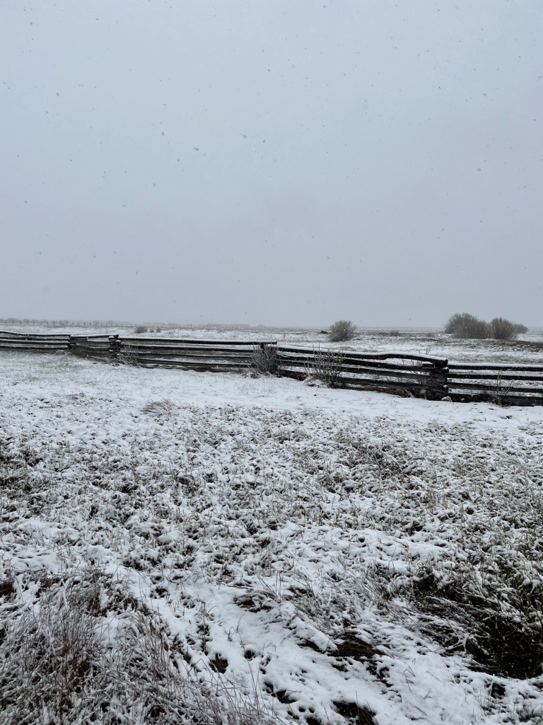
Additional precipitation, including fresh snow, fell overnight. Though helpful with moderating fire behavior, the precipitation will likely complicate access to the fire area. Muddy road conditions, requiring UTVs for access, are not conducive to travel by standard vehicles. Firefighters will be conscious of limiting impacts to roadbeds and natural resources.
Firefighters will continue with the same strategy and operations today. Fire managers are looking to increase the amount of access to the fire by utilizing boats across the high-water conditions.
Additional resources, including a UAS (unmanned aircraft system), have been ordered and will be arriving over the next couple of days. An Incident Command Post will be established at the Wisdom Airport early this week.
Conditions, including dry fuels and gusty winds, precluded firefighters from implementing any strategic firing operations as a firefighting tactic. The fire activity, including most of the acreage gain during the burning period on May 3rd, was driven by the dry fuels and gusty winds that aligned with the topographic features of the drainage.
Fire investigators will continue their search to determine the fire's cause. Neither the Forest Service nor the BLM had any prescribed fires (commonly referred to as “controlled burns”) in that area.
WEATHER, FUELS, AND FIRE BEHAVIOR:
Today’s weather should be similar to yesterday, with temperatures 5-10 degrees cooler and a 40% chance of additional precipitation. Today will be the last day for any kind of measurable precipitation for the next week or so. The forecast for mid-week calls for a warming and drying trend as a ridge builds over the fire area. Temperatures will likely approach the upper 70s to low 80s by Friday.
The fire is burning mainly in sagebrush and Lodgepole pine timber. The north-facing slopes in the area consist of a high “dead and downed” fuel component in a mixed conifer forest, and numerous “snags” or hazard trees are present. This fuel combination poses additional hazards for firefighters and affects on-the-ground progress. Ensuring firefighter safety and protecting life and property are of the utmost importance during any incident.
The fire has exhibited moderate to extreme fire behavior, with 3 to 5-foot flame lengths in the sagebrush and isolated torching, group torching, and crown runs through the tops of the trees in the timbered areas. When winds have aligned with the orientation of drainages, fire behavior has been extreme. Fuel conditions, during this time of year (pre-green up), are extremely dry.
The fire footprint from the 2021 Alder Fire is located to the east, and the fire footprint from the 2021 Christensen Fire lies to the south.
CLOSURES:
For public safety reasons, the Bureau of Land Management has issued a temporary closure for the Sawlog dispersed camping area, located at the Big Hole River ford site. Specific closure language can be viewed on the Sawlog Fire Inciweb page, Closures tab.