
Highlighted Media
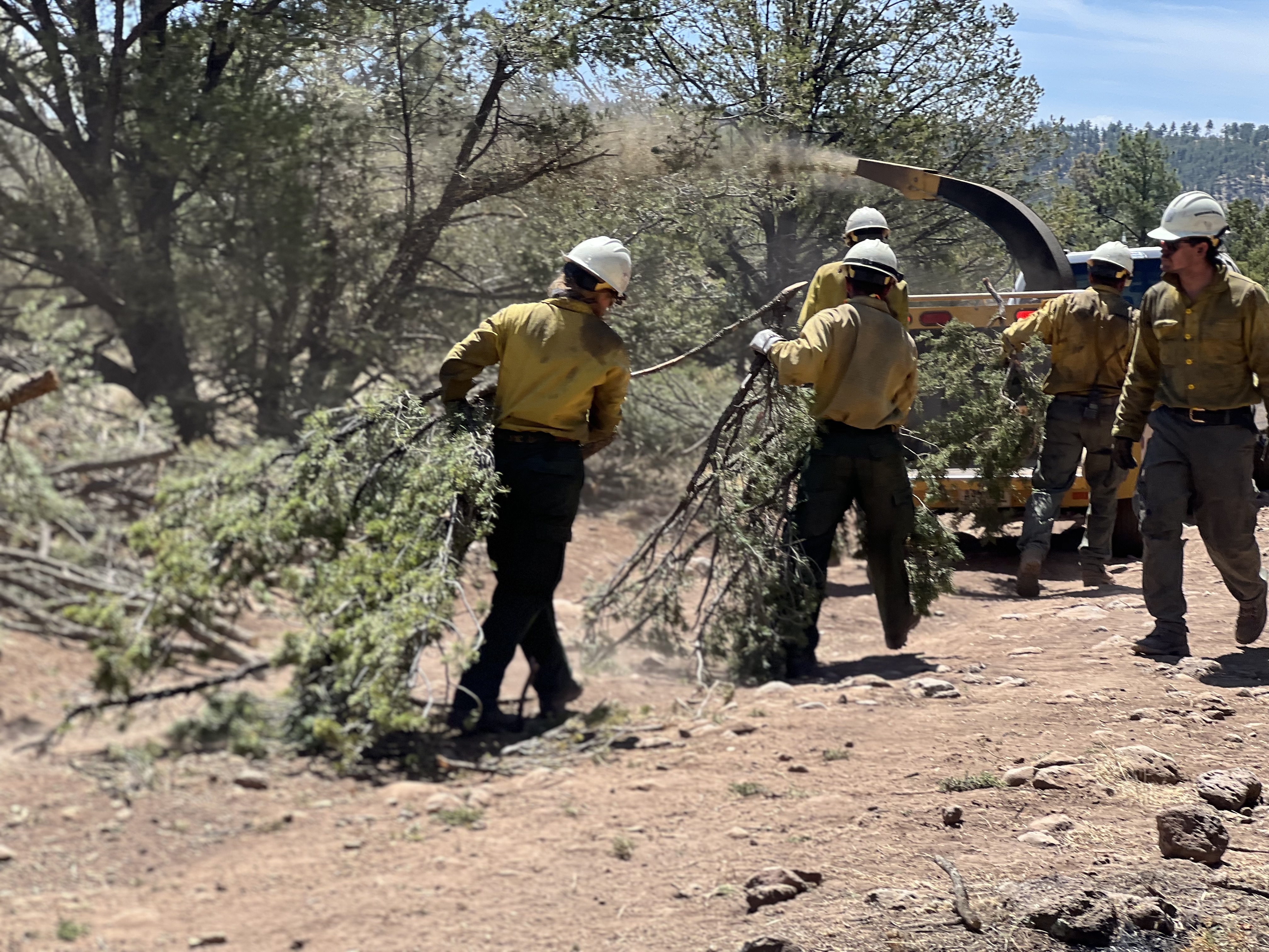
Chipping slash produced during fireline preparation.
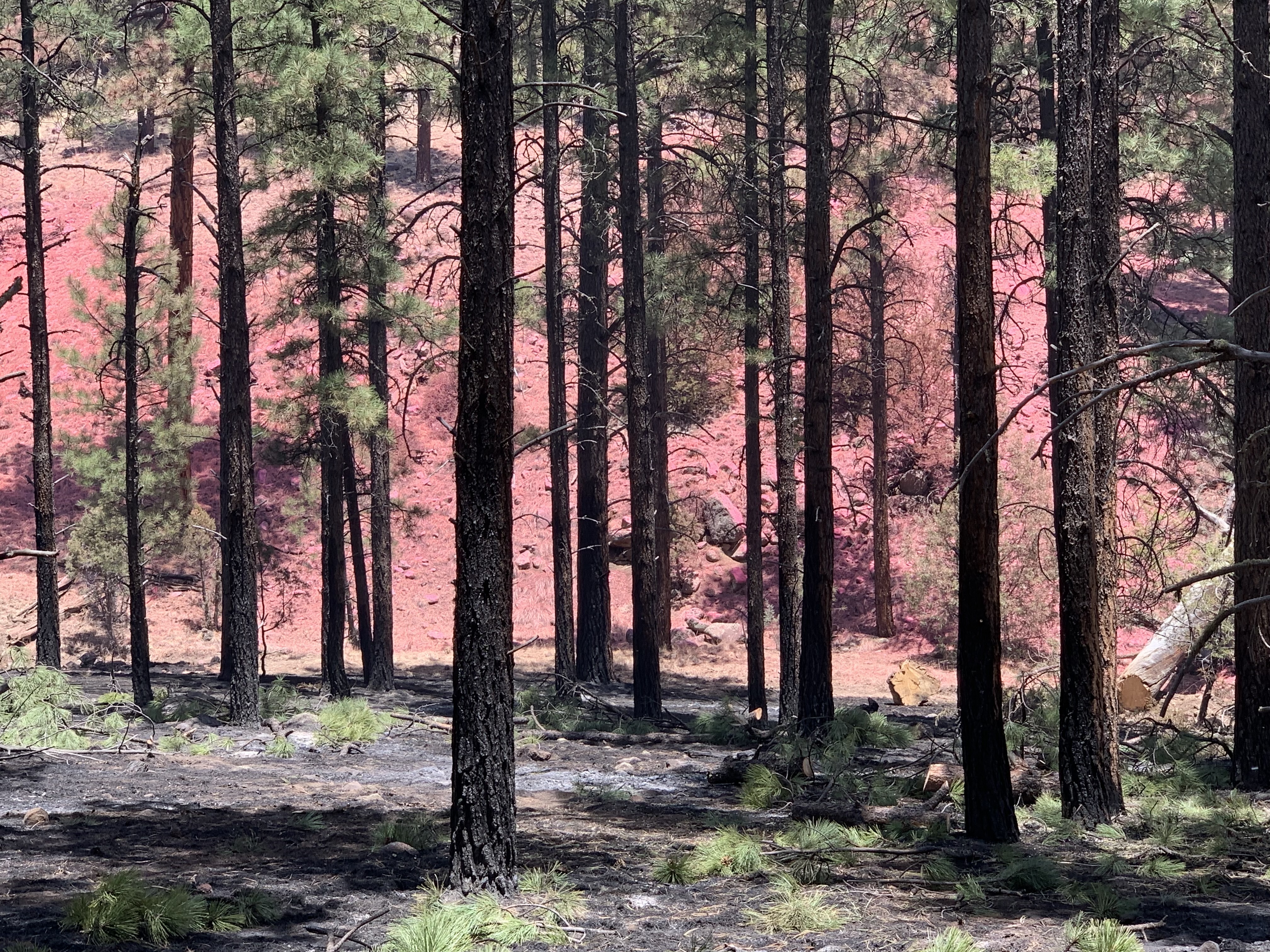
Ponderosa trees stand against a backdrop of fire retardant on a hillside.
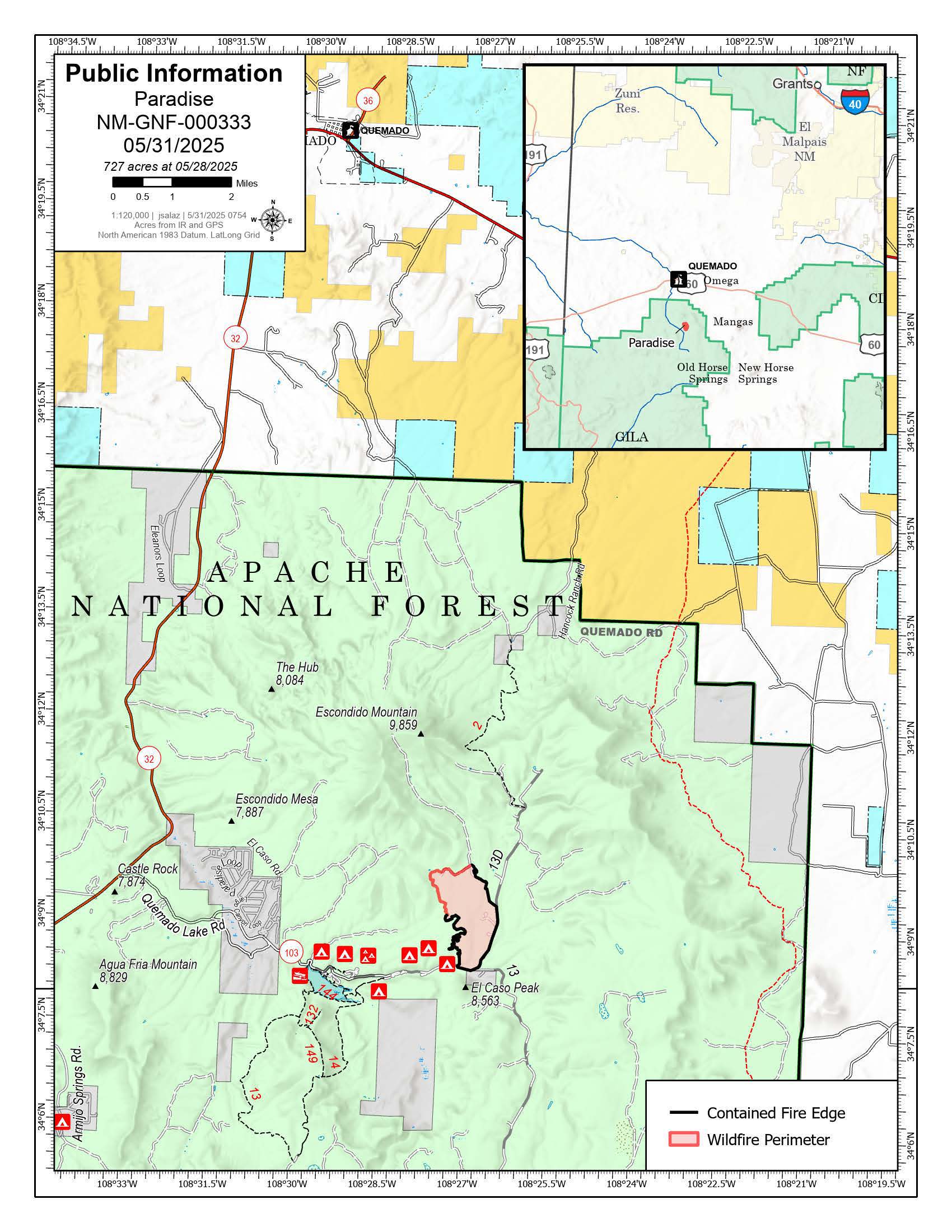
Paradise Fire Map for May 31, 2025
Wildfire north of Quemado Lake, reported May 26 at 7:00 p.m. The Gila Las Cruces Type 3 Incident Command Team assumed command May 27, pursuing a full-suppression strategy to establish containment.
| Current as of | Thu, 06/05/2025 - 14:31 |
|---|---|
| Incident Type | Wildfire |
| Cause | Human |
| Date of Origin | |
| Location | 13 miles south of Quemado, New Mexico |
| Incident Commander | Dana Schinnader, IC4 Patric Valentine, IC4(t) |
| Coordinates |
34° 08' 46.7'' Latitude
-108° 28' 43.4
'' Longitude
|
| Total Personnel: | 115 |
|---|---|
| Size | 727 Acres |
| Percent of Perimeter Contained | 92% |
| Fuels Involved | Grass, brush, pinon-juniper, and ponderosa pine |
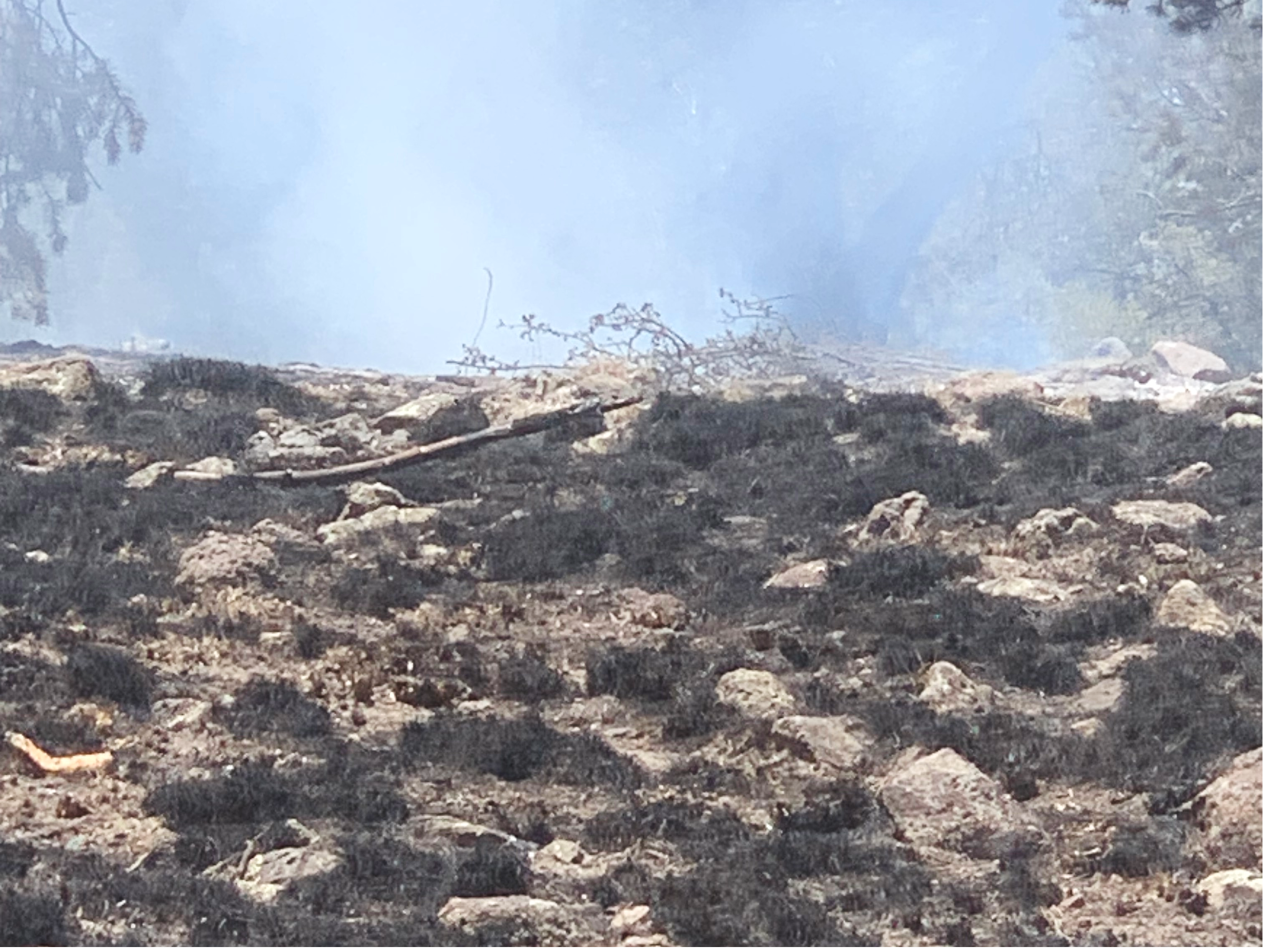
| Significant Events | Minimal fire behavior (smoldering) was observed Saturday. |
| Planned Actions |
Patrol, and monitor, continuing to secure the fire perimeter. Complete suppression repair. Support the forest with initial attack on any new fire starts. |
|---|---|
| Projected Incident Activity |
No fire spread - fire is expected to remain within established firelines and containment lines. |
| Weather Concerns | Thunderstorms are expected in the early morning Monday and again in the afternoon, with highs in the 60s. Gusty outflow winds and lightning are expected with passing storms. |
|---|