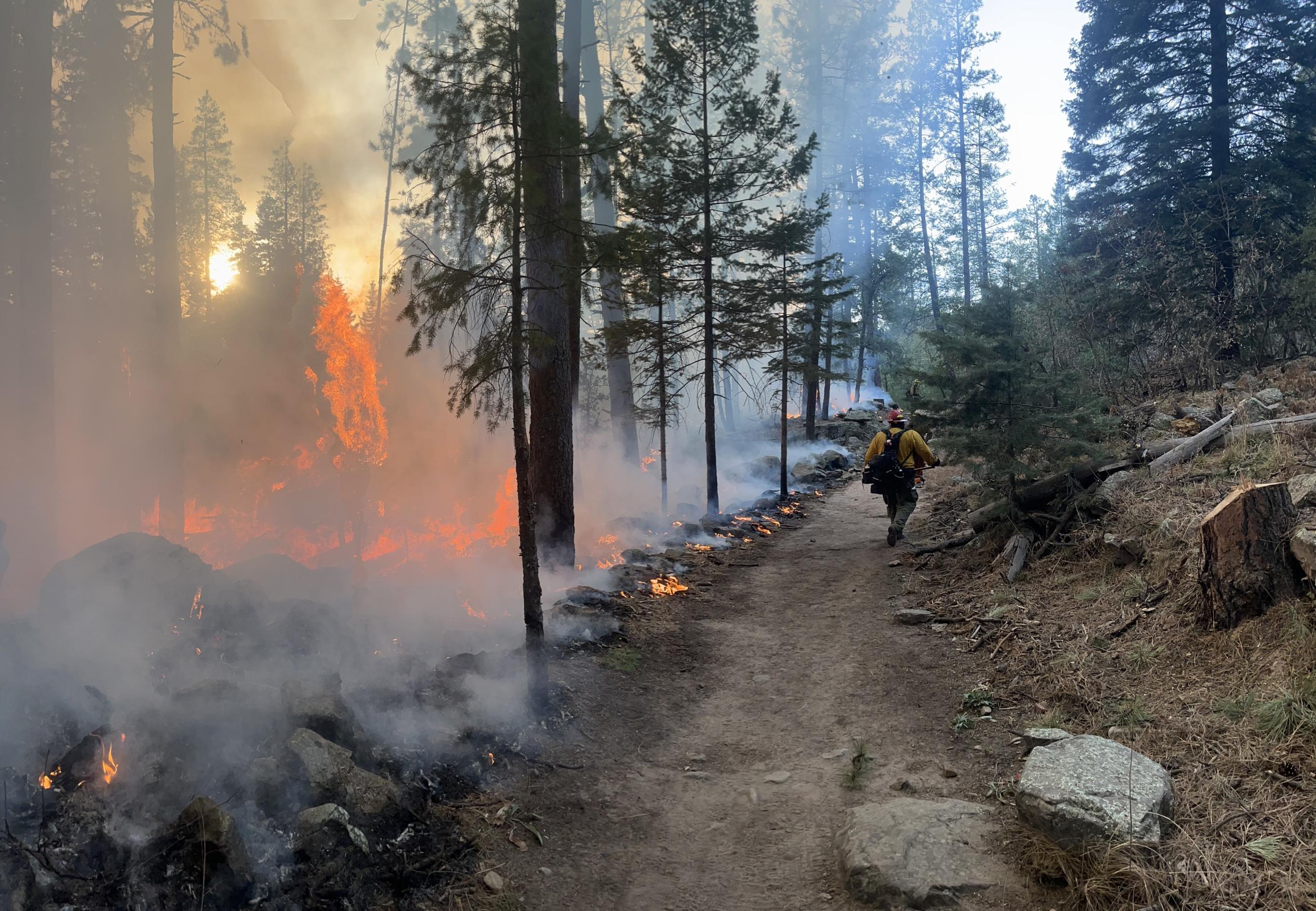
The Horton Fire started the Tonto National Forest in the area of Promontory Point on the Mogollon Rim and spread to the Apache-Sitgreaves National Forest on the evening of Saturday, December 14, 2025. Tonto National Forest-Payson Ranger District firefighters were first on-scene. As local resources continued responding, an ad hoc Type 3 team was assembled and stood up by Monday, December 16, 2025.
During the first week of response, the air and ground resources available for this incident were actively engaged in suppressing the wildfire and holding constructed containment lines on Promontory Butte; within Horton Creek drainage, east of the community of Tonto Creek Estates; and above See Canyon, northwest of Christopher Creek.
Fire activity initially occurred primarily within the notably steep and rugged terrain on the Mogollon Rim. Due to these unique terrain conditions, which present hazardous conditions and extended extrication times of up to 6 hours, direct attack capabilities for firefighters has been limited.
As the complexity of the incident increased, a Complex Incident Management Team was ordered and Southwest Area Incident Management Team 1 arrived on-scene and took management of the fire on Monday, December 30, 2025.
The Horton Fire has been determined as human-caused fire and is still under investigation. The primary fuels carrying this fire are timber, chaparral, dry grasses and understory shrubs.
A Forest closure order is in effect to protect public health and safety during the Horton Fire as well as protecting firefighting personnel engaging in wildland firefighting operations.
A Temporary Flight Restriction (TFR 5/1983) is in place for the Horton Fire through January 31, 2025.
The communities of Christopher Creek, Hunter Creek, R-C Scout Camp, Tonto Creek Estates, Tonto Christian Camp, Tonto Fish Hatchery, Kohls Ranch, and Zane Grey Cabins are in SET evacuation status. Surrounding roadways and State Route 260 may experience localized impacts due to the Horton Fire including reduced visibility due to smoke. Travelers should monitor roadway status and conditions via AZ Department of Transportation.
Fire-specific questions for the Horton Fire can be directed to incident Information Officers via email at 2024.horton@firenet.gov or by calling 602-551-7327.
| Current as of | Wed, 02/12/2025 - 15:09 |
|---|---|
| Incident Time Zone | America/Phoenix |
| Incident Type | Wildfire |
| Cause | Human, Under Investigation |
| Date of Origin | |
| Location | 17.5 miles northeast of Payson, AZ along the Mogollon Rim |
| Incident Commander | Southwest Complex Incident Management Team 1 |
| Coordinates |
34° 22' 15.6'' Latitude
-111° 03' 32.4
'' Longitude
|
| Size | 8,346 Acres |
|---|---|
| Percent of Perimeter Contained | 100% |
| Fuels Involved | Ponderosa pine, mixed conifer, chaparral |

 InciWeb