
Highlighted Media
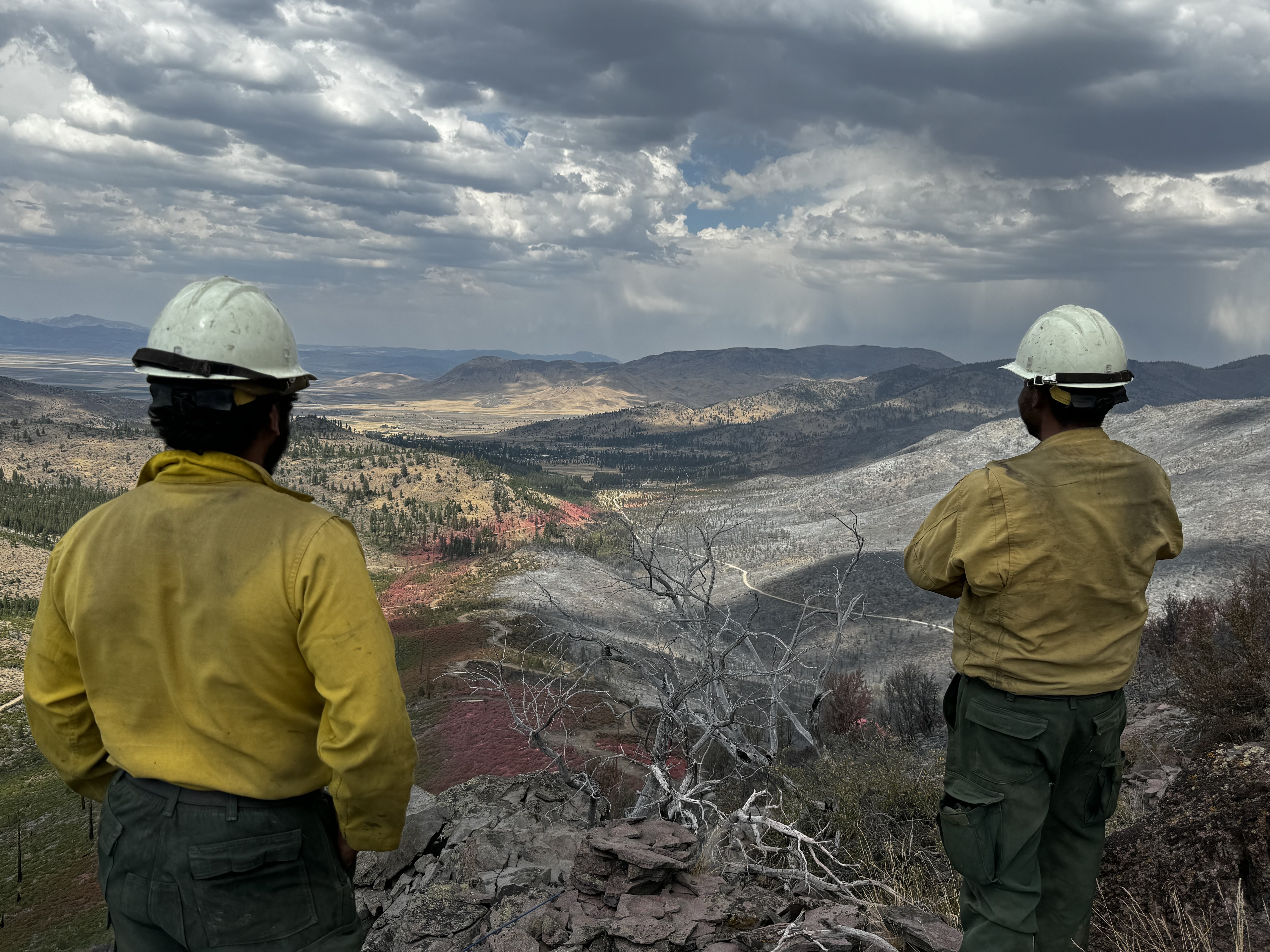
Two fire crew members survey an area burned in the Bear Fire.
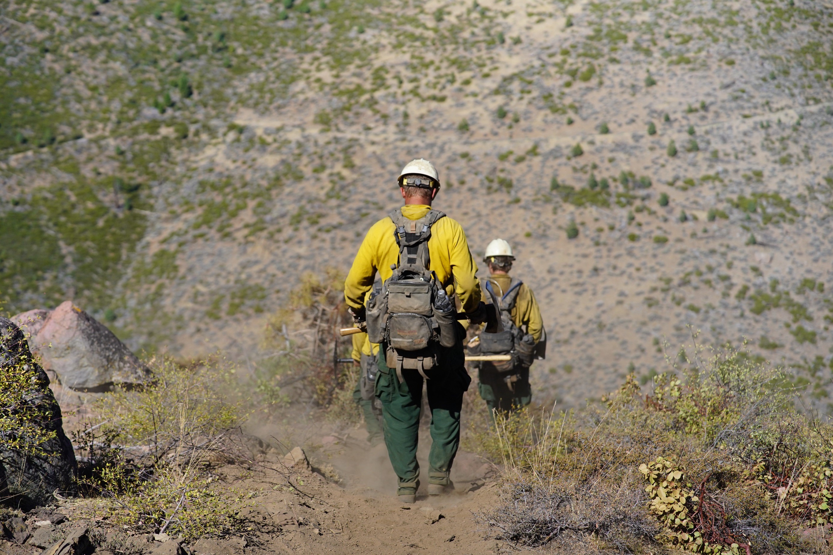
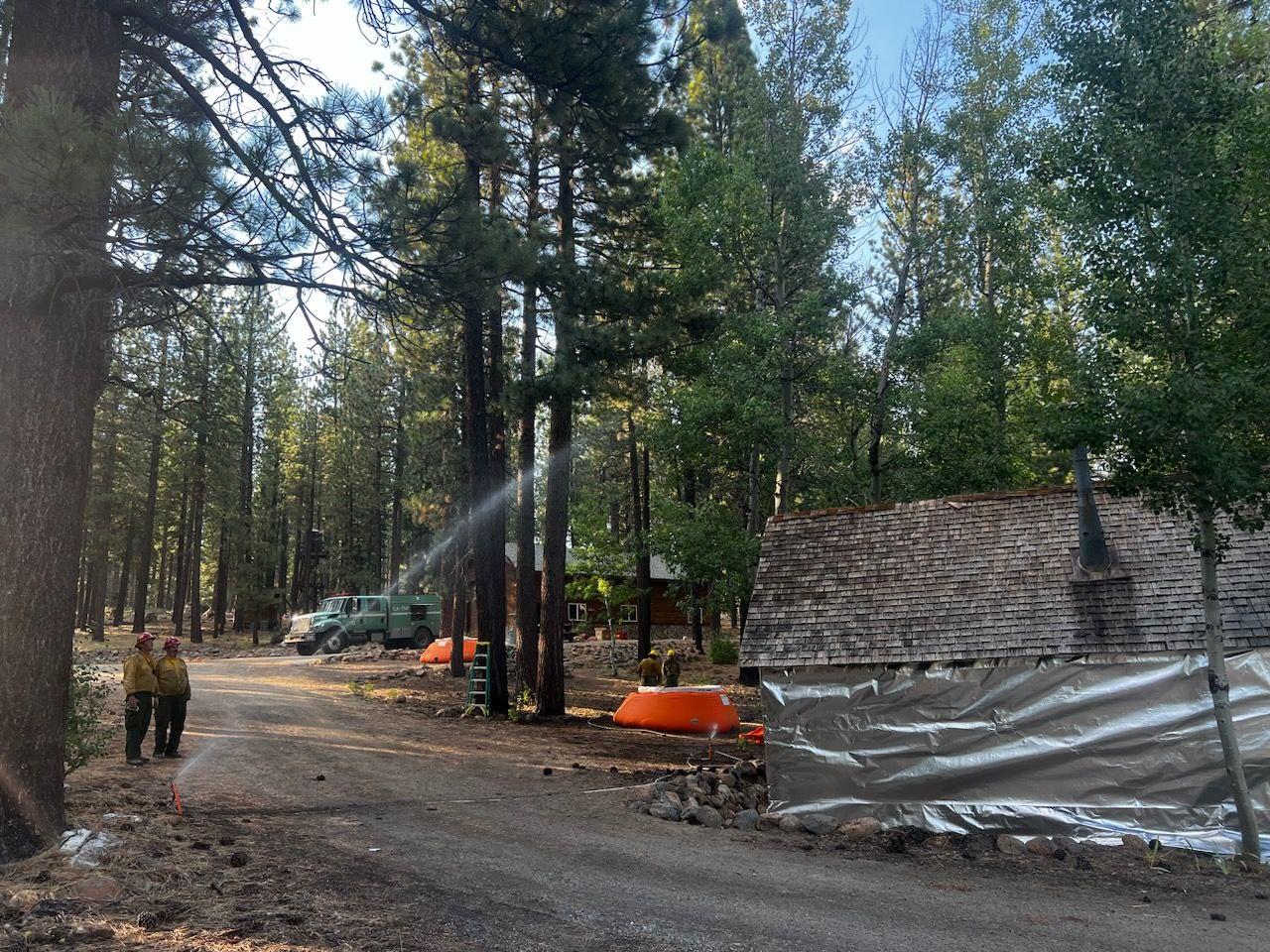
The Bear Fire was reported at 2 p.m. on September 2, 2024, off Bear Valley Road on the Tahoe National Forest, south of the community of Sierra Brooks in Sierra County.
As of September 11, 2024, the Bear Fire is being managed by Tahoe National Forest.
The cause of the fire is undetermined and under investigation.
Closures:
Tahoe National Forest closure info: Forest Order No. 17-24-20 and Forest Order Map
| Current as of | Mon, 09/30/2024 - 11:51 |
|---|---|
| Incident Time Zone | America/Los_Angeles |
| Incident Type | Wildfire |
| Cause | Undetermined |
| Date of Origin | |
| Location | Sierra Brooks, Loyalton |
| Incident Commander | Zac Stockdale ICT3 USFS Dan Patterson ICT3(T) USFS Andy Achter ICT3 (T) USFS |
| Incident Description | Wildfire |
| Coordinates |
39° 35' 85'' Latitude
-120° 12' 97
'' Longitude
|
| Total Personnel: | 207 |
|---|---|
| Size | 3,323 Acres |
| Percent of Perimeter Contained | 100% |
| Fuels Involved | Brush (2 feet)
|
| Significant Events | Minimal |
| Planned Actions |
Full suppression. Objectives: Keep fire in current footprint, south of Sierra Brooks, East of Antelope Valley, West of Bald Mountain Range, and North of Lewis Mill Fire Station. Implement suppression repair of roads, contingency lines, and limited direct fire lines-Phase 1. Mitigation of hazard trees. |
|---|---|
| Projected Incident Activity |
12 hours: Minimal fire activity expected. Wet weather could impact travel on roads. 24 hours: Reduced fire activity. Predicted gusty and erratic winds are expected near thunderstorms. Crews are working with Resource Advisors on suppression repair. 48 hours: Sunny and warmer with temps into the into the low 70s may dry out fine fuels. Minimal fire activity expected. Crews working with Resource Advisors on suppression repair. 72 hours: Little or no fire activity expected. Crews continue to work with Resource Advisors on suppression repair. Anticipated after 72 hours:Little or no fire activity expected. Crews continue to work with READs on rehab. Tentative transition to Type 4 incident on 9/20.
|
| Weather Concerns | Patchy morning fog will burn off by mid to late Friday morning with drier conditions prevailing with decent overnight RH recoveries into the weekend. Drier and slowly warmer conditions will continue through the weekend with no significant wind except for typical afternoon breezes starting early next week. Friday: Temps 46-49 in morning rising to 72-75. Night RH 60-65% dropping to minimum of 22-24%. 20 ft winds SE 2 mph, diurnal upslope 3-7 mph. Friday night: Clear, temps 44-47, maximum RH 53-59%, downslope winds 2-6 mph. Saturday: Clear, sunny, max temps 72-75, minimum RH 21-25%, 20 foot winds upslope 3-7 mph. |
|---|