
Highlighted Media
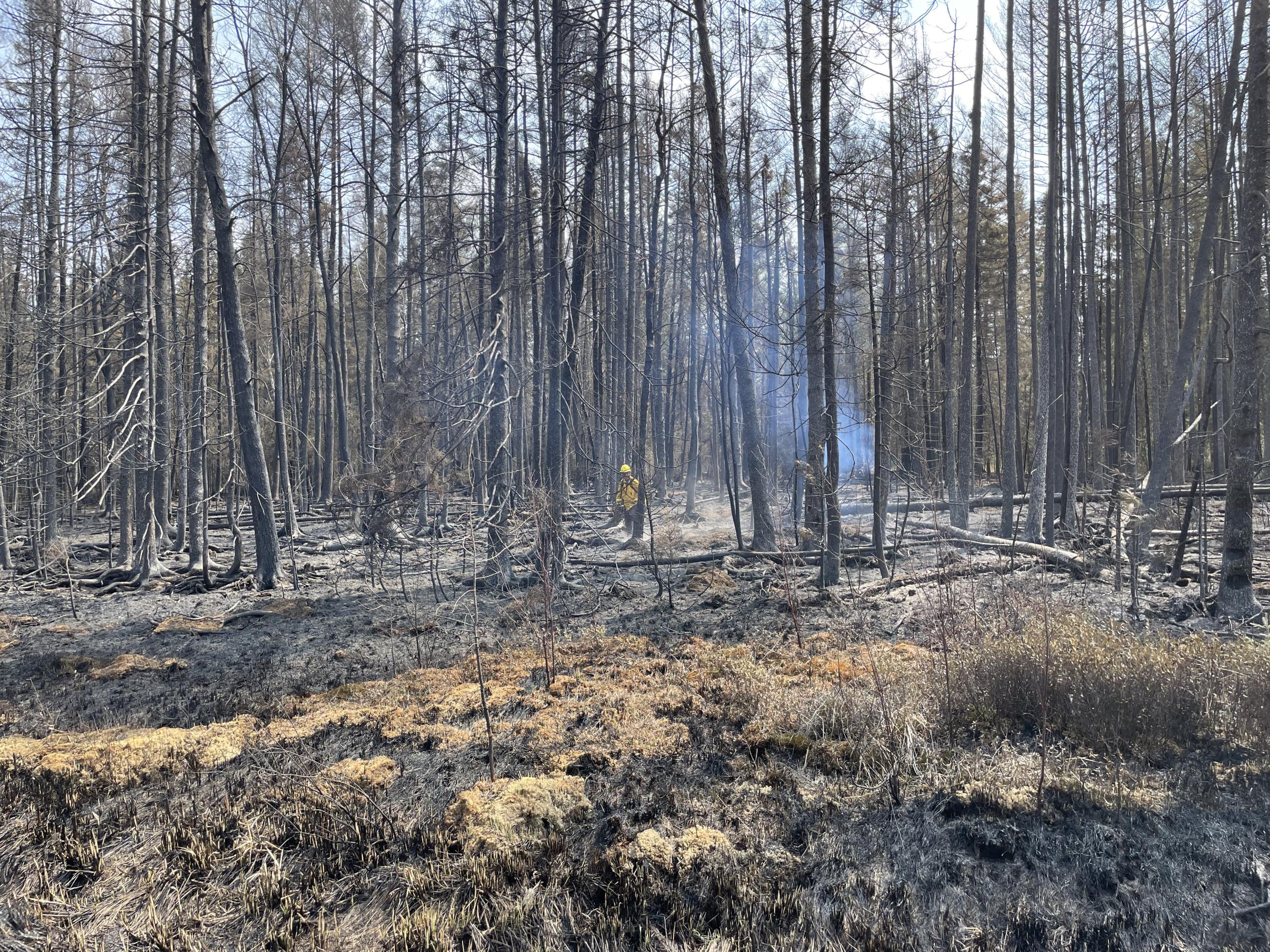
Containment lines constructed around these fires continue to hold and more work is being doen to strengthen and connect them.
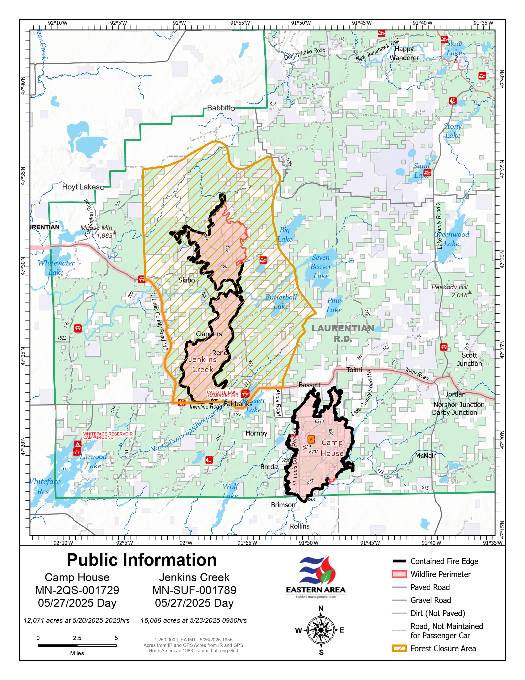
Suppression repair work is used to improve both the aesthetic and the natural condition of areas where firefighting work occurred. It also provides a deterrent for invasive species propagation in those lines used to stop the fire.
The Camp House Fire began on Sunday, May 11, 2025, at approximately 1:00 p.m. in Ault Township, about two miles northeast of Brimson, Minnesota, outside the Superior National Forest. The fire was initially reported at 750 acres and expanded rapidly due to dry conditions, gusty winds, and a large volume of dead timber, particularly in areas infested with spruce budworms. The fire moved onto the Superior National Forest, causing closures and evacuations. Initial fire behavior included crown fires and rapid spread through dense forest, fueled by widespread dead and dying trees.
At least 144 structures, primarily homes and cabins along Highway 44, were destroyed by the fire's initial spread. Initially, mandatory evacuations were put in place for Highway 44 and nearby communities, and evacuation centers were established to assist displaced residents. All evacuations have been lifted.
On Wednesday, May 28, 2025, the the local Minnesota Department of Natural Resources (DNR) area forestry assumed management of the Camp House fire. Firefighting operations will continue, including patrolling and gridding within the interior of the Camp House fire to check for any remaining heat. If any pockets of lingering heat are found, firefighters will mop up these areas of concern to extinguish the heat. The DNR may continue to request infrared flights that aid in checking the fire area for lingering heat. Suppression repair assessments and repairs will also continue as needed. Some Superior National Forest road and recreation site closures remain in effect.
June 3, 2025 update - The Camp House fire remains in a monitor status, with local Minnesota DNR staff assigned to the monitoring efforts. The conditions in the area of the Camp House fire remain hot and dry.
| Current as of | Fri, 06/06/2025 - 17:37 |
|---|---|
| Incident Time Zone | Central Standard Time |
| Incident Type | Wildfire |
| Cause | Undetermined |
| Date of Origin | |
| Incident Time Zone | Central Standard Time |
| Location | 2 miles NE of Brimson, MN |
| Incident Commander | MNDNR Two Harbors Forestry; IC Glendon Nyberg; IC(t) Jonah Lewis |
| Coordinates |
47° 17' 24'' Latitude
-91° 50' 28
'' Longitude
|
| Total Personnel: | 12 |
|---|---|
| Size | 12,071 Acres |
| Percent of Perimeter Contained | 98% |
| Estimated Containment Date | 6/15/2025 |
| Fuels Involved | Brush, closed timber litter and timber understory. Coniferous live fuel moistures remain very low. Grasses are actively growing and hardwoods are leafing out. Heavy fuels remain dry and capable of retaining heat, increasing the risk of flare-ups. Many areas contain dead balsam, adding to the available fuel. |
| Significant Events | The local Minnesota DNR has observed minimal smoldering. |
| Planned Actions |
Continue to patrol, hold and mop-up. Continue with suppression repair assessments and repairs as appropriate. |
|---|---|
| Projected Incident Activity |
12 hours: The fire should remain in place with little smoke. Continued drying weather, summer visitor activities. 24 hours: Continued drying weather, summer visitor activities. 48 hours: Continued drying weather, summer visitor activities. 72 hours: Continued drying weather, summer visitor activities. Anticipated after 72 hours: Continued drying weather, summer visitor activities. |
| Weather Concerns | Weather patterns remain high 70's to 80's with sunny skies, low RH values and winds. Drying pattern continues. |
|---|