
Highlighted Activity
Highlighted Media
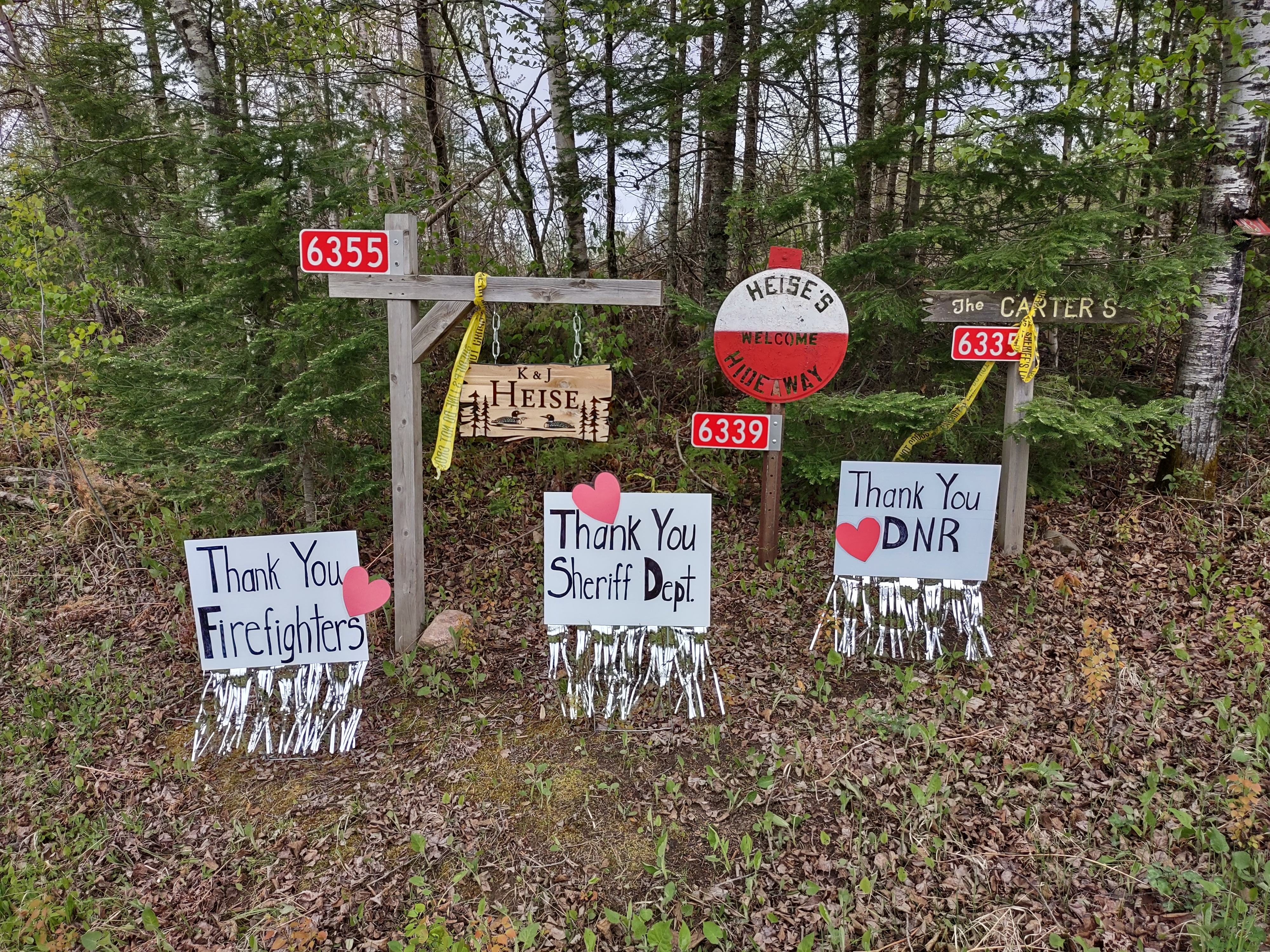
Thank you signs for firefighters, Sheriff's office and Minnesota Department of Natural Resources
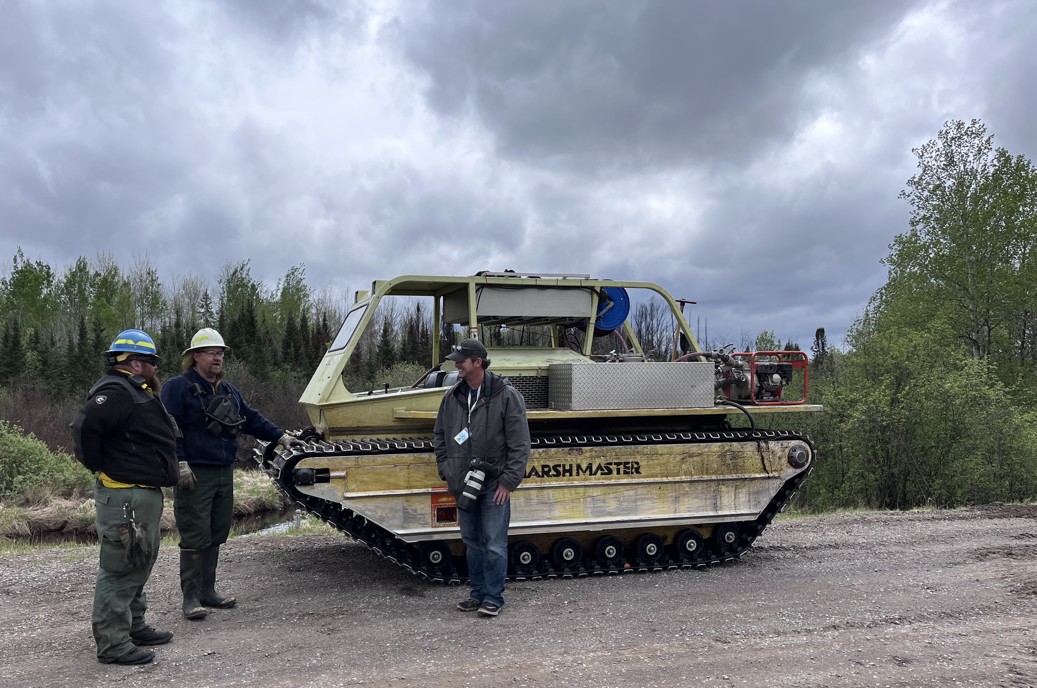
An amphibious tracked vehicle used on the Munger Shaw Fire
The Munger Shaw wildfire, located approximately ten miles southeast of Cotton, Minnesota was detected May 12, 2025. The fire remains at 1,259 acres and 95% containment. Local Minnesota DNR resources remain committed to the incident daily as smoke, internal heat from smoldering debris and open flame continue to be identified within the containment line. While the fire is largely contained, smoldering hotspots within the fire’s interior will continue to smolder and produce smoke until the fire area receives sufficient precipitation or until snowfall this winter.
| Current as of | Fri, 06/06/2025 - 17:47 |
|---|---|
| Incident Time Zone | Central Standard Time |
| Incident Type | Wildfire |
| Cause | Undetermined |
| Date of Origin | |
| Incident Time Zone | Central Standard Time |
| Location | Southeast of Cotton and 2 miles East of Elora Lake |
| Incident Commander | Jarrod Amundson - MN DNR |
| Coordinates |
47° 04' 49'' Latitude
-92° 20' 38
'' Longitude
|
| Total Personnel: | 2 |
|---|---|
| Size | 1,259 Acres |
| Percent of Perimeter Contained | 95% |
| Estimated Containment Date | 5/28/2025 |
| Fuels Involved | Timber (litter and understory), Short Gras (1 foot). Bug killed timber. |
| Significant Events | Minimal creeping and smoldering. Smoke, heat and open flam have been found daily. |
| Planned Actions |
Patrol and monitor the fire. Take suppression actions on any heat, smoke or flames that are found within the interior or near the containment lines. |
|---|---|
| Projected Incident Activity |
12 hours: Resources continued mop-up of any heat and smoke that was found on the interior or near the line. |
| Remarks |
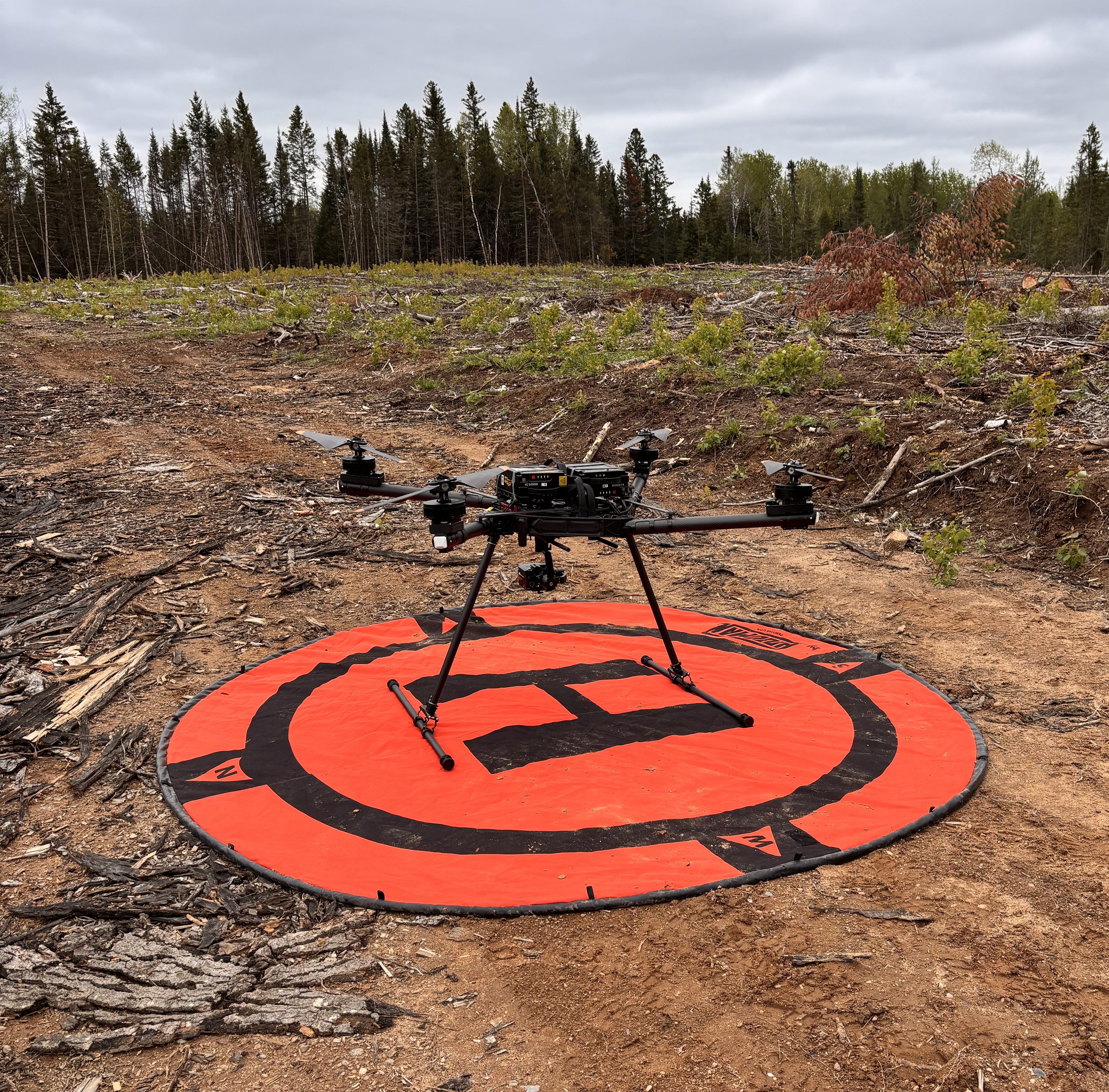
Acreage change due to accurate mapping from UAS. |
| Weather Concerns | Temperatures ranging 65-84 degrees with minimum humidity ranging 30-58 percent. |
|---|