Highlighted Activity

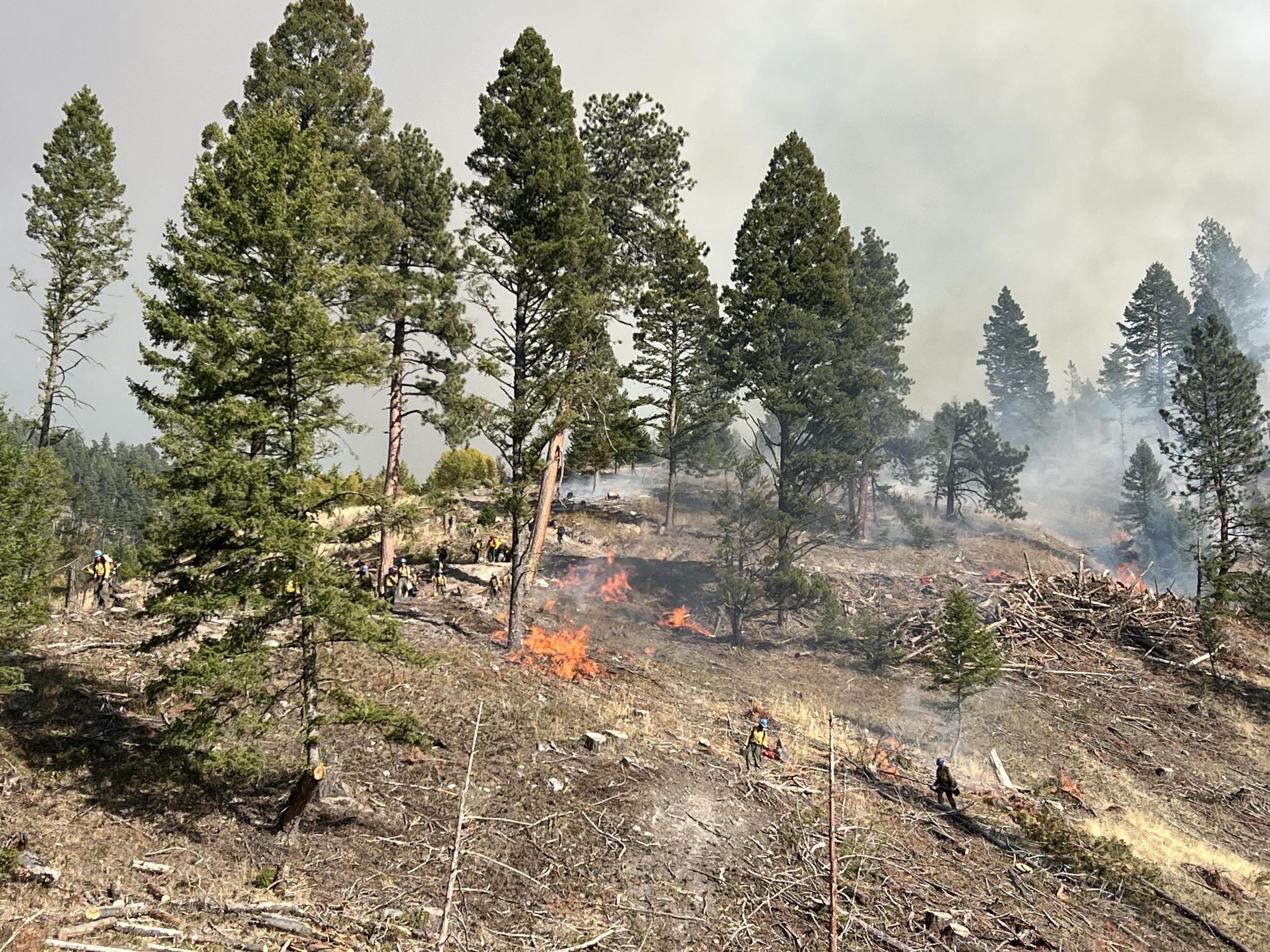
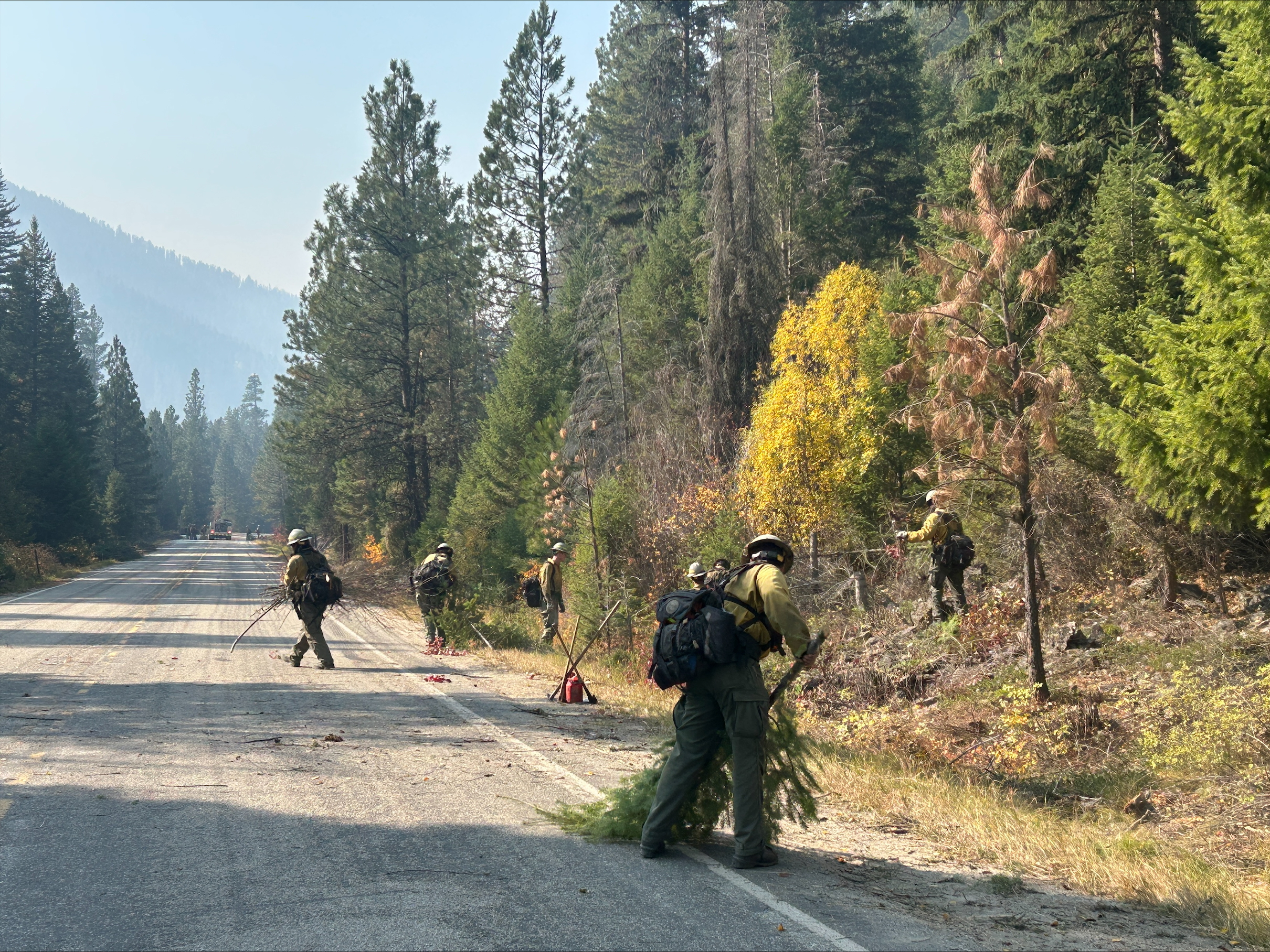
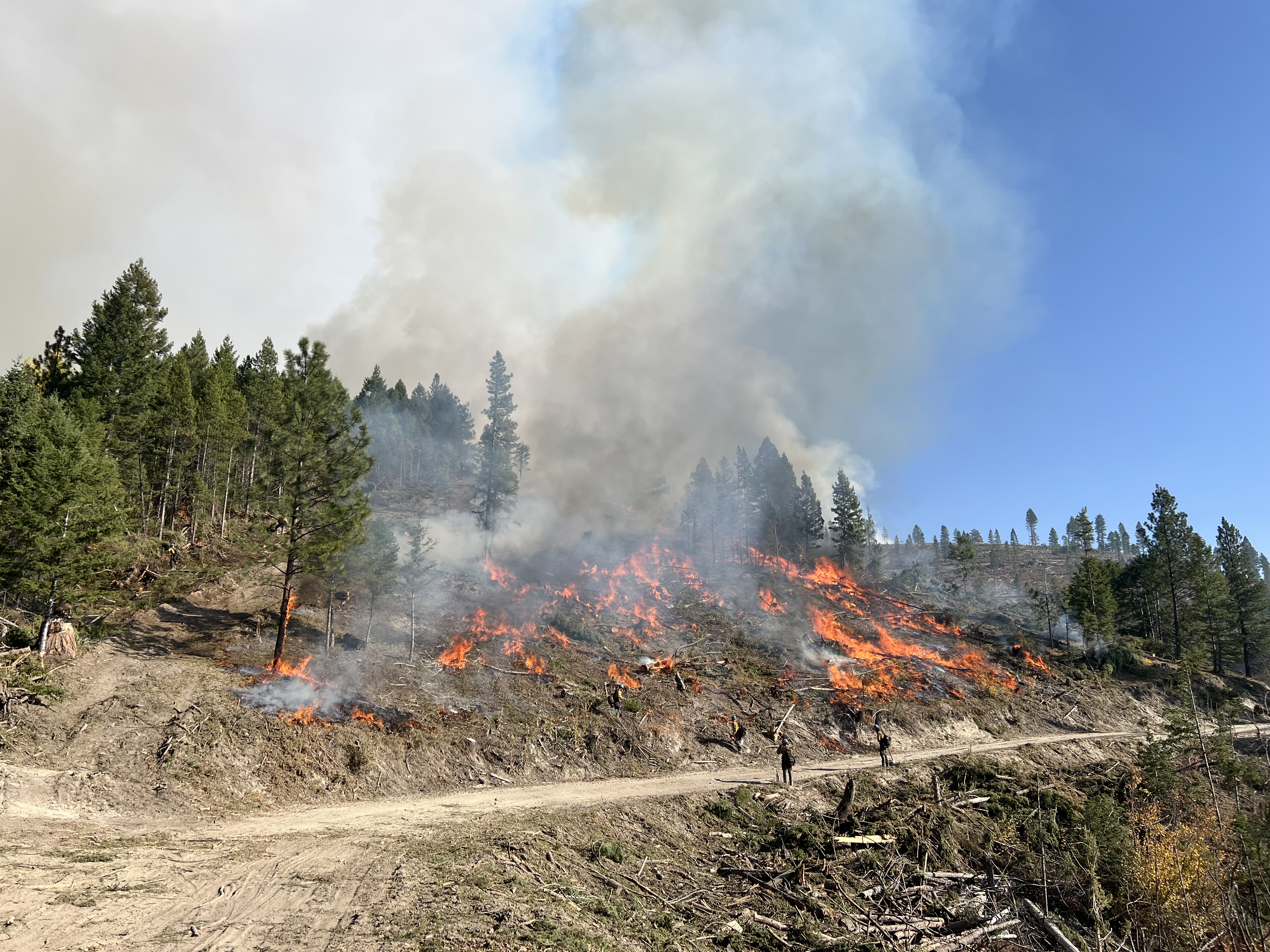
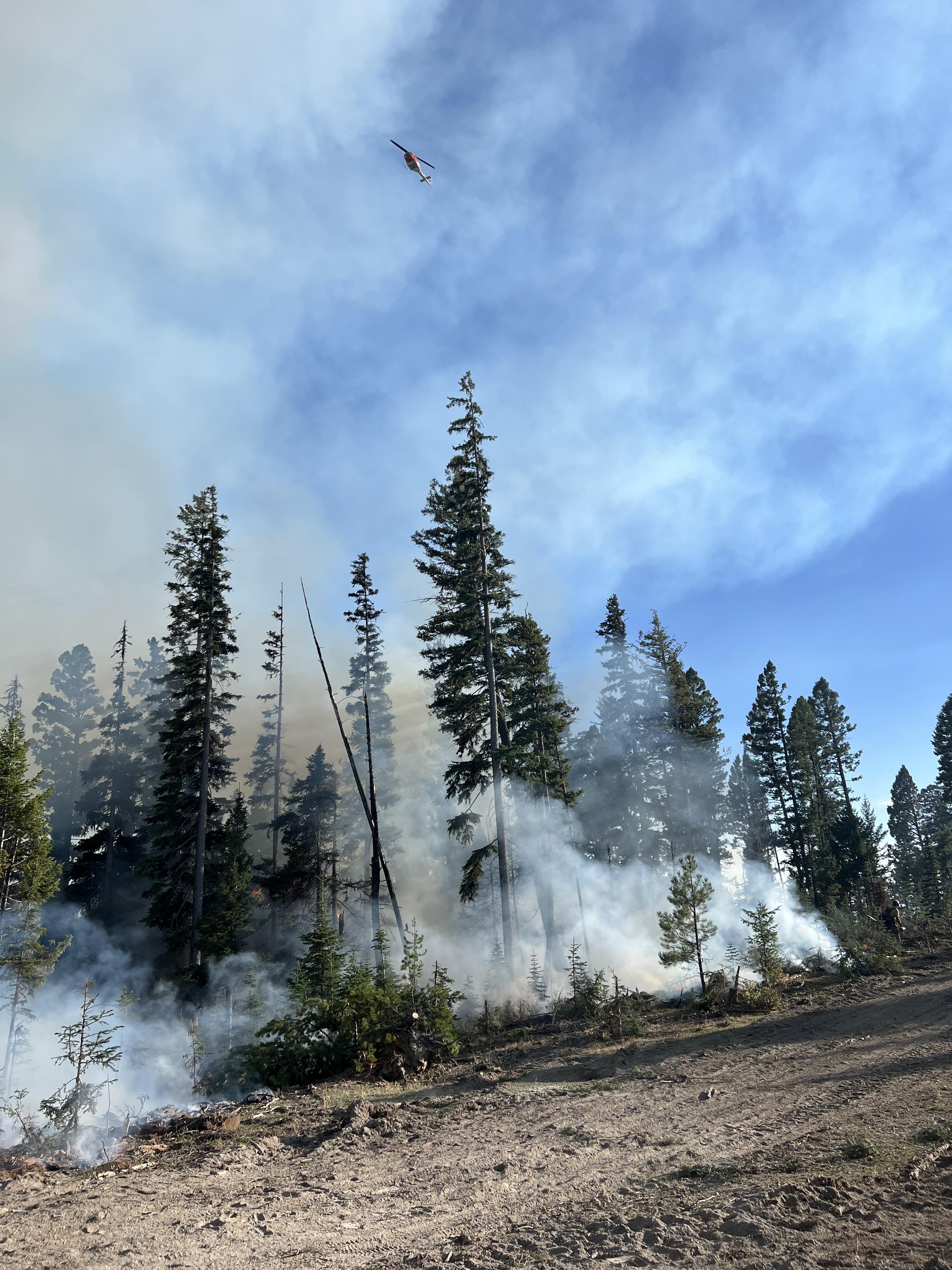
The Railroad Fire began on July 25th, and the Daly Fire began on August 18th. The fires are located southeast of Hamilton, MT.
The Daly Fire is located off of Hwy 38 on both the Bitterroot and Beaverhead-Deerlodge National Forests. The fire had several different locations where fire activity was present, such as on the Bitterroot National Forest side near Skalkaho Falls and Gird Point, and on the Beaverhead-Deerlodge National Forest side near Fuse Lake and Duncie Creek.
| Current as of | Wed, 11/13/2024 - 12:04 |
|---|---|
| Incident Type | Wildfire |
| Cause | Undetermined |
| Date of Origin | |
| Location | Railroad Creek/ Skalkaho Creek confluence, 26 miles SE of Hamilton |
| Incident Commander | Type 4 Incident Team |
| Incident Description | Wildfire |
| Coordinates |
46° 9' 25'' Latitude
-113° 51' 32
'' Longitude
|
| Total Personnel: | 10 |
|---|---|
| Size | 13,076 Acres |
| Fuels Involved | Timber with litter and grass understory. Light logging slash. Pockets of ladder fuels and standing dead with heavy dead and down and moderate brush loading. |
| Significant Events | Minimal, Smoldering
|
| Planned Actions |
Due to snow and cooler temperatures this fire in now contained and in patrol status. Suppression repair plans are being developed on both Forests. |
|---|---|
| Projected Incident Activity |
Minimal fire behavior is expected. |
| Remarks |
Acreage and Percent Completion of Operational Objectives: Railroad-1,583 acres Daly-11,493 acres |

 InciWeb


