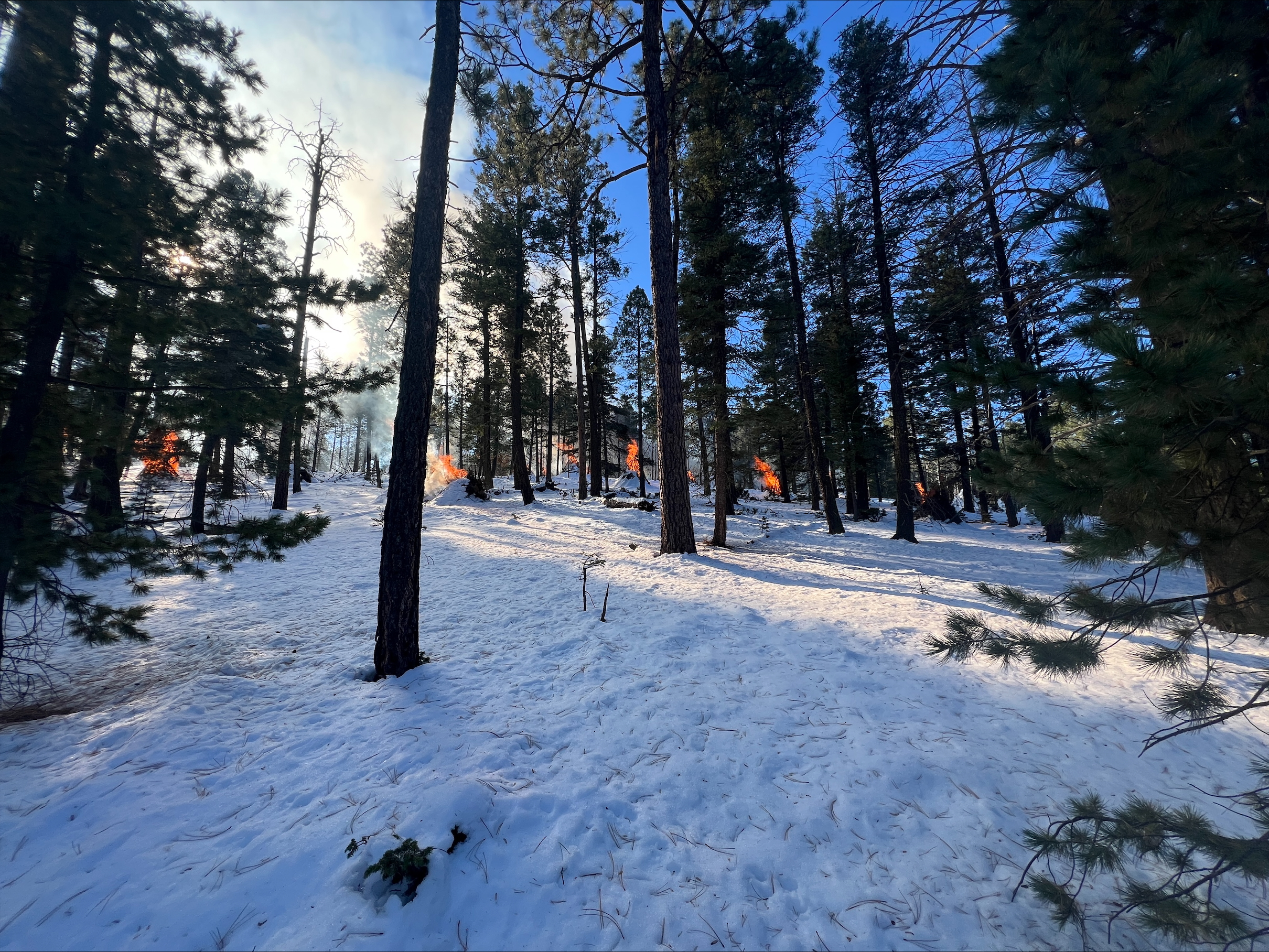
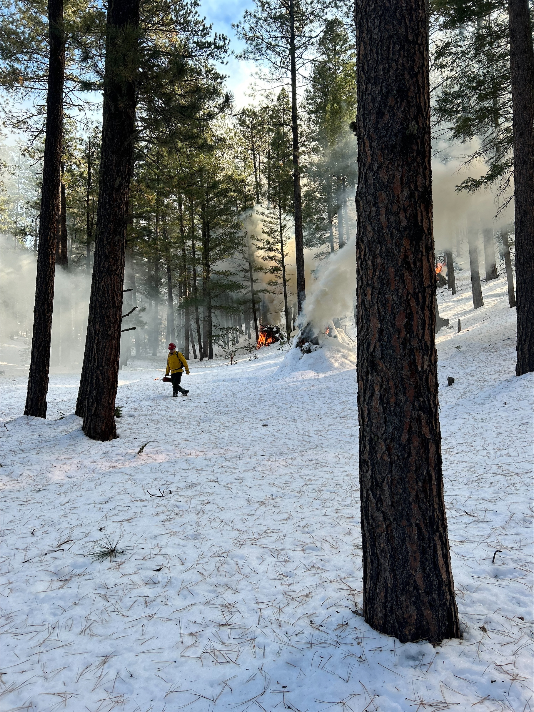
Ignitions planned to begin Saturday November 16 on the 43 acre Triangle pile burn.
The project is located adjacent to Forest Road 376 and Forest Road 604 near the community of La Cueva.
Fire managers are looking at 1 day of ignitions.
Smoke may be visible from the community of La Cueva, the Village of Jemez Springs, and the Pueblo of Jemez.
To learn more visit: Santa Fe - News & Events
| Current as of | Mon, 01/06/2025 - 14:10 |
|---|---|
| Incident Time Zone | America/Denver |
| Incident Type | Prescribed Fire |
| Date of Origin | |
| Location | The project is located adjacent to Forest Road 376 and Forest Road 604 near the community of La Cueva. |
| Coordinates |
35° 51' 59.58'' Latitude
-106° 39' 56.4
'' Longitude
|
| Size | 43 Acres |
|---|---|
| Fuels Involved | Piles from thinning |
| Remarks |
PROJECT COMPLETED
|
|---|

 InciWeb

