
Incident Media Photographs
Could not determine your location.
 Wildfire
 Prescribed Fire
 Burned Area
Response
Burned Area
Response Other
Other
Photographs Gallery
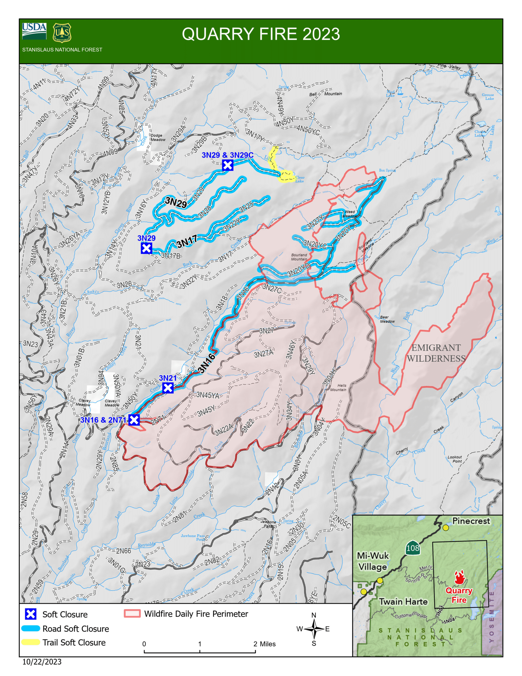
Final Quarry Fire PIO Map 10-22-2023,
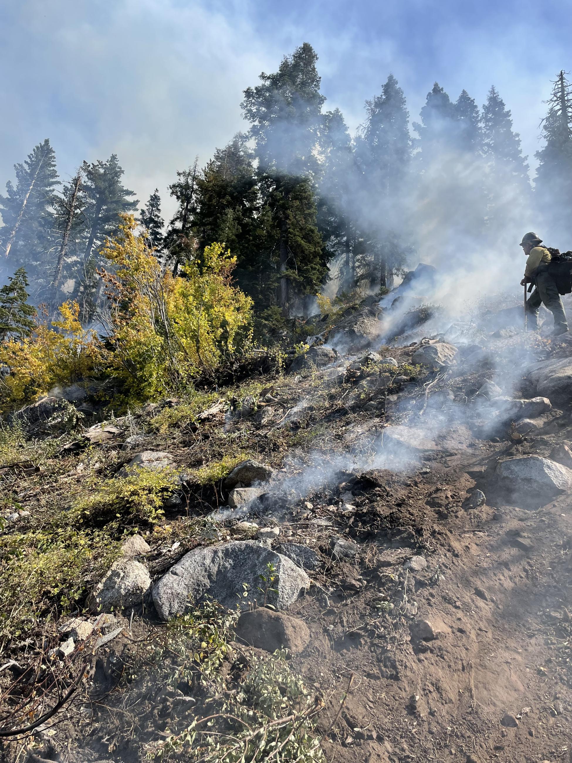
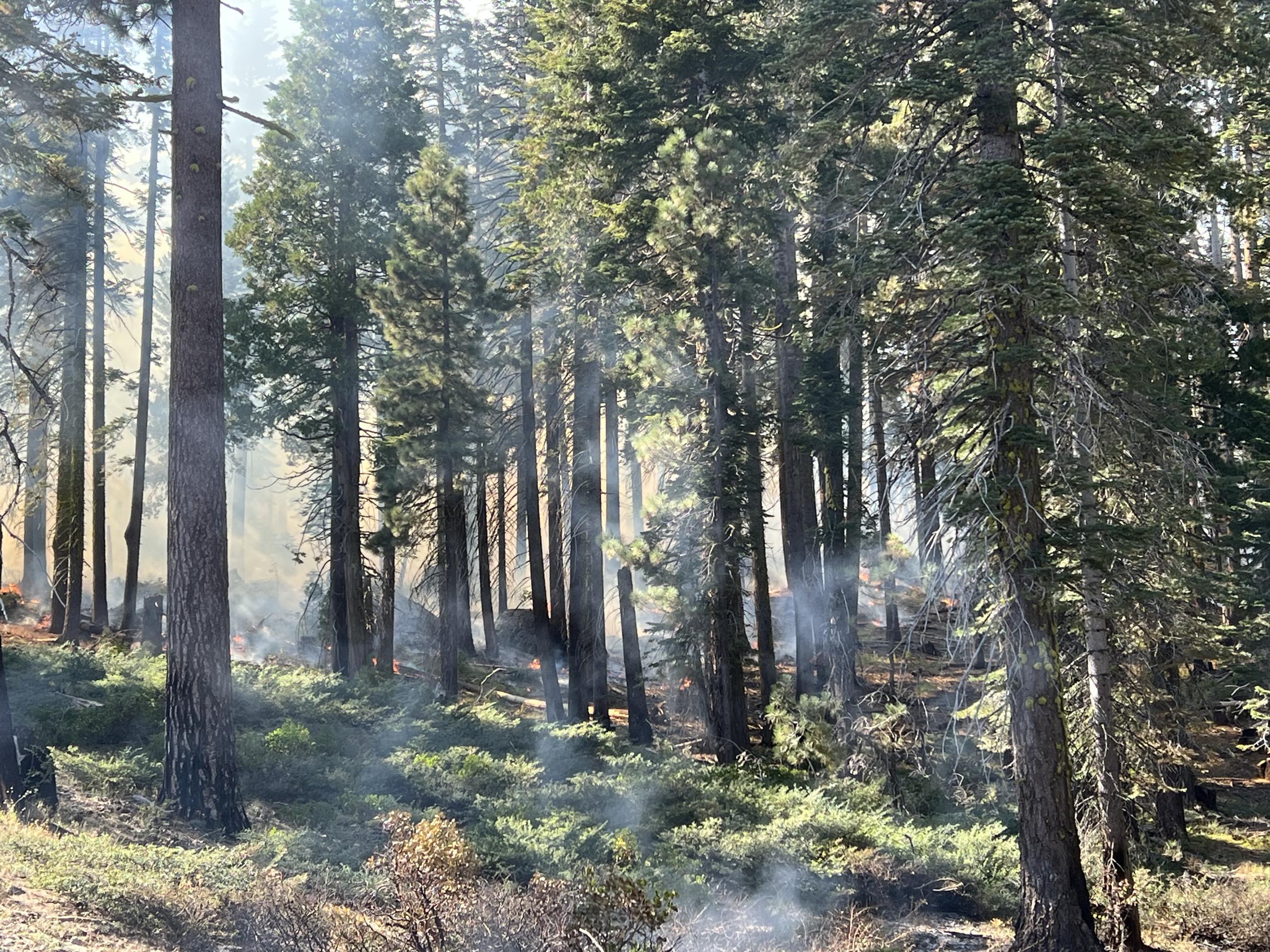
Fire crew supervising fire and smoke on a wooded hillside.
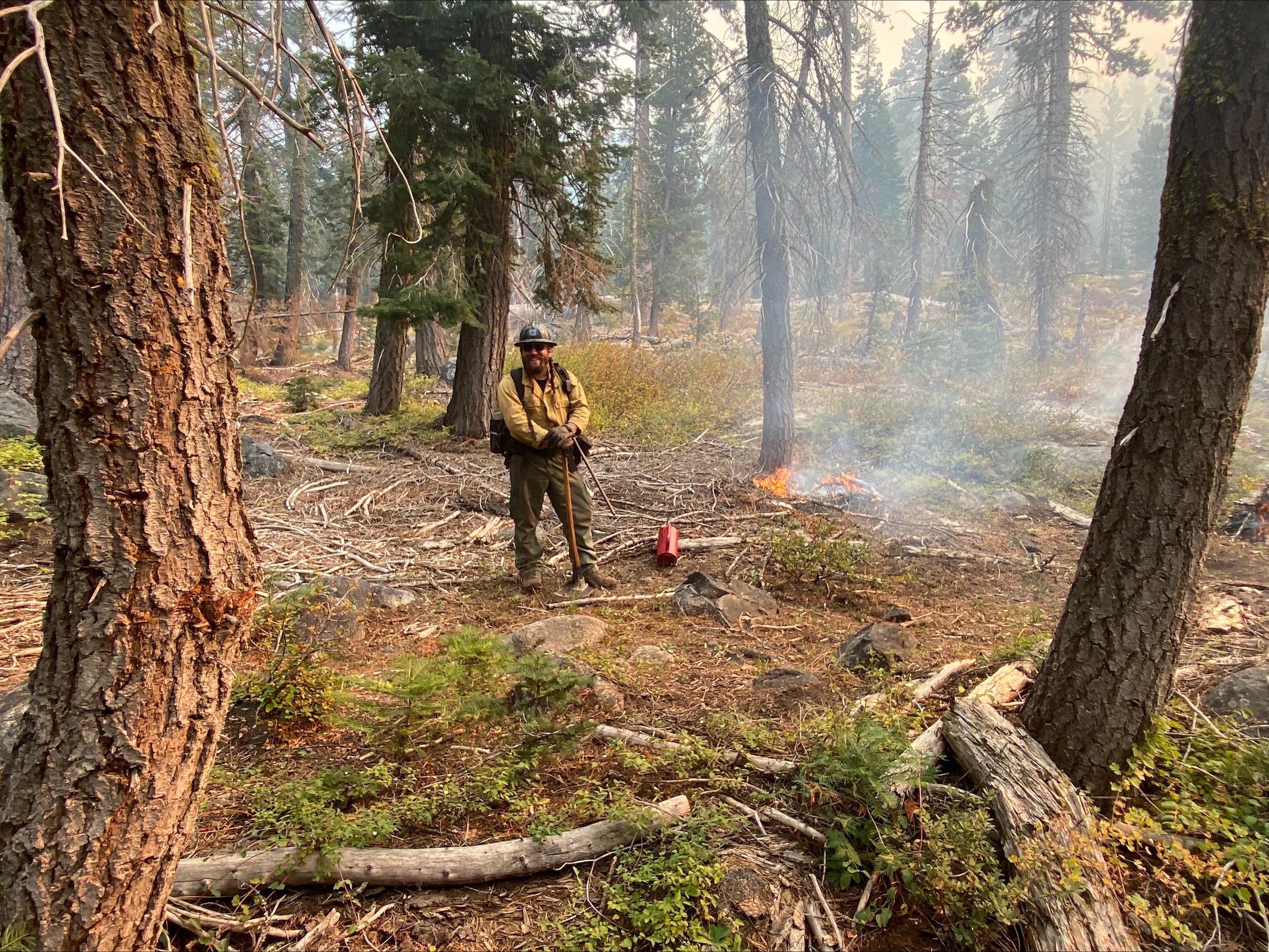
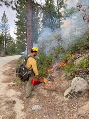
Fire professionals on the Quarry Fire are igniting the abundant dead and down surface fuels and timberr litter making way for renewed, heaalthy plant growth.

Large woody dead and down fuels are being consumed by the fire, opening up areas for young trees and new plant growth.
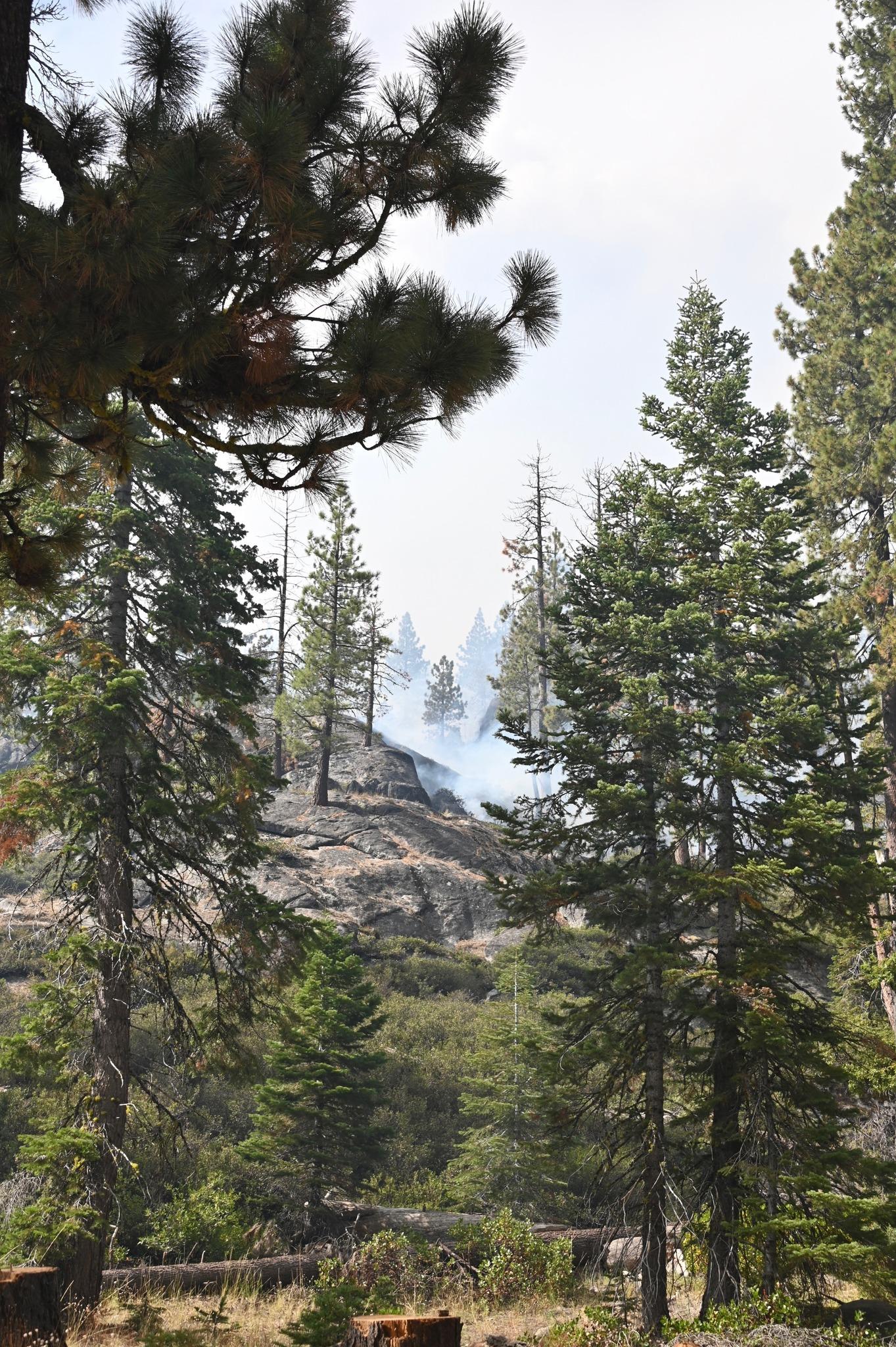
Fire managers use natural barriers such as rock outcroppings to establish fire boundaries.
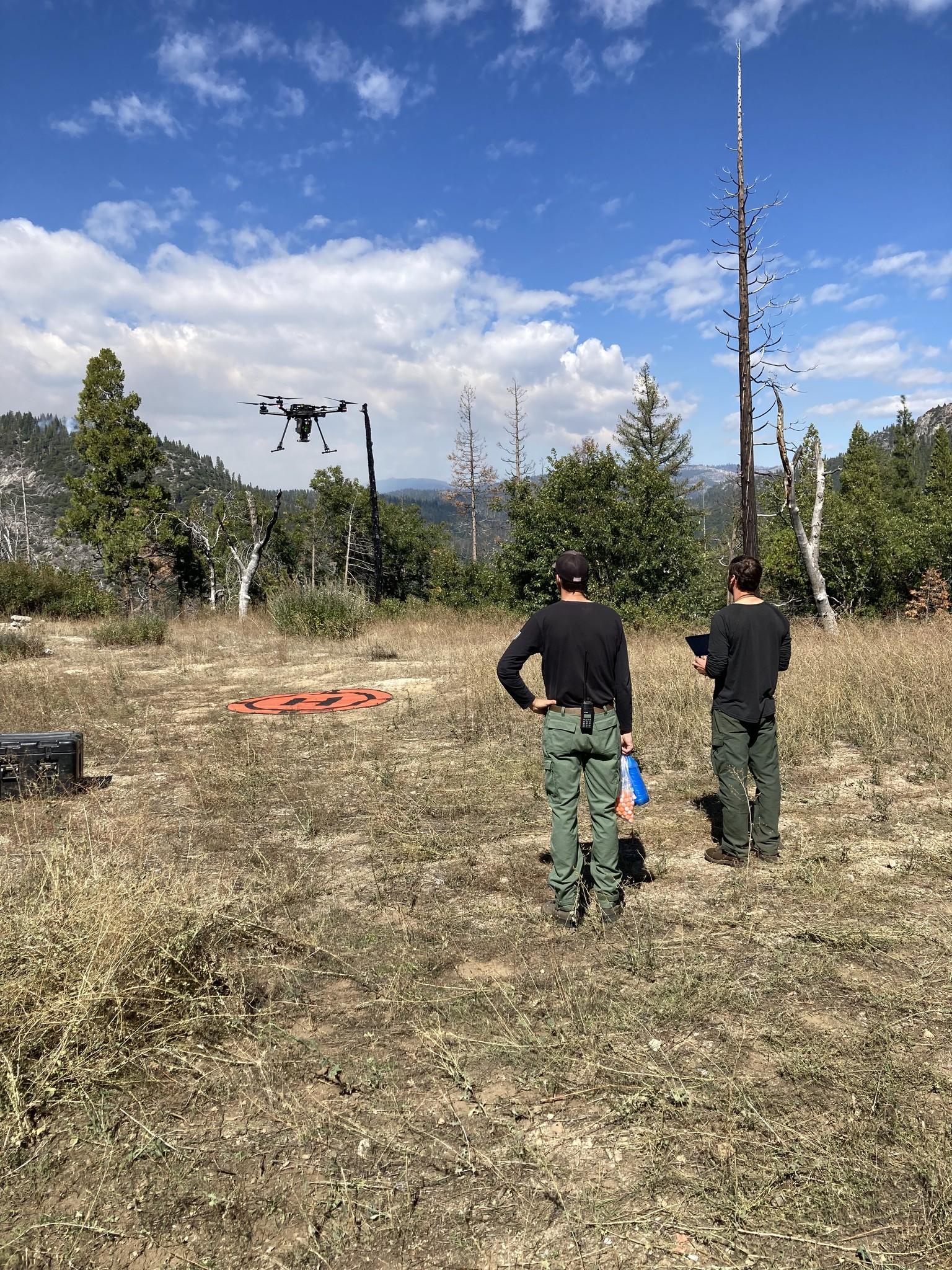
Fire professionals using Unmanned Aerial Systems (UAS, also known as drones) are managing fire behavior and intensity to provide for multiple resource benefits including reducing concentrations of all fuels, re-establishing multi-generational timber stands, improving wildlife habitat, promoting plant diversity, and re-introducing fire into fire adapted ecosystems.
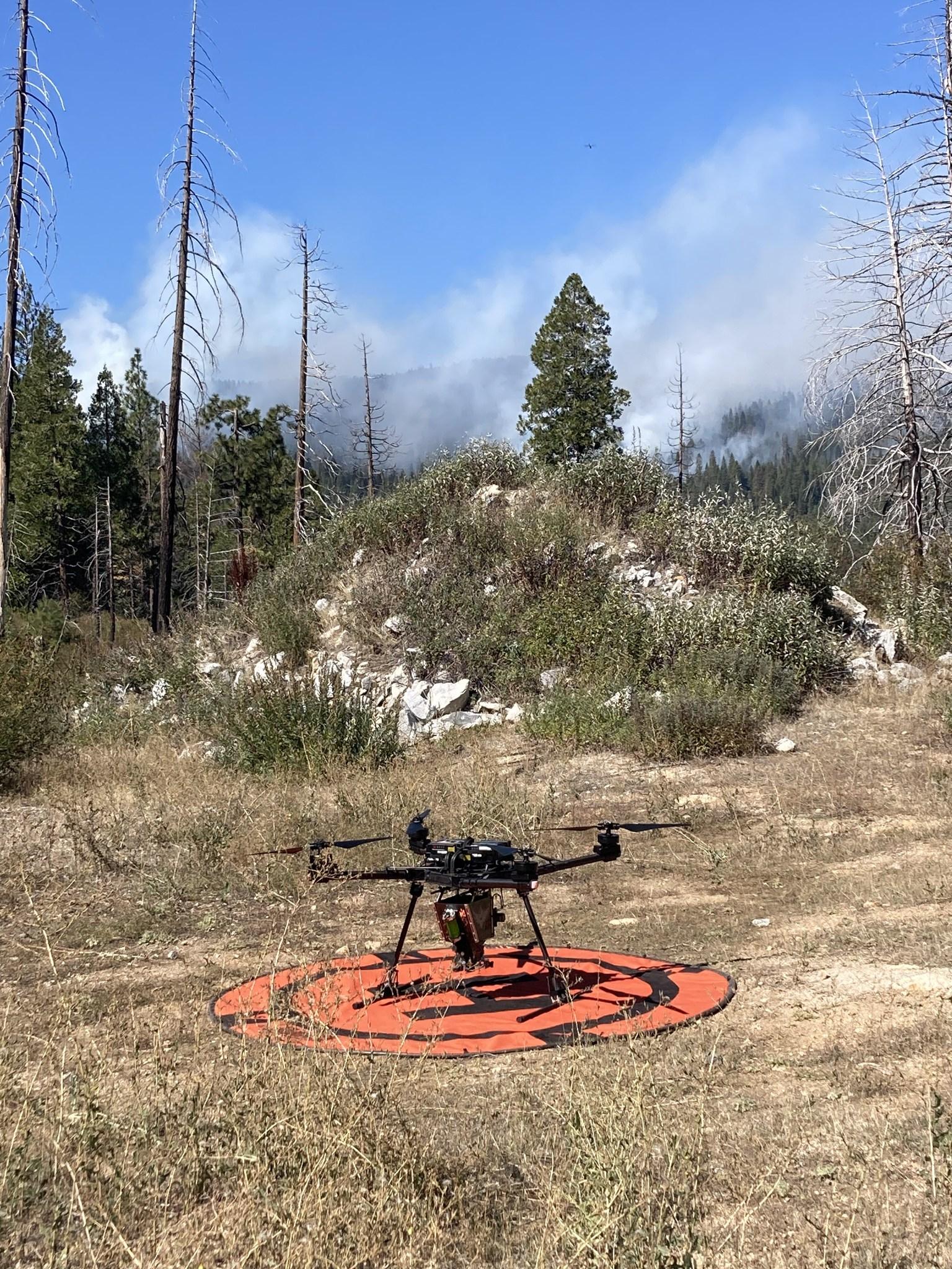
UAS Unmanned Aerial Systems (UAS, also known as drones) flights have a light footprint to bring fire to sensitive areas with minimal impact on the wilderness.
September 25, 2023: Crews on the Quarry Fire use fire to create a mosaic of burned and unburned fuels helping achieve healthier forest conditions.
Firefighters with the Stanislaus National Forest work the Quarry Fire along Forest Road 3N01.
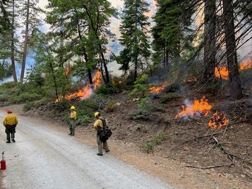
Firefighters work along a forest road on the Quarry Fire in the Stanislaus National Forest