Incident Media Photographs
Could not determine your location.
 Wildfire
 Prescribed Fire
 Burned Area
Response
Burned Area
Response Other
Other
Lane 1 Fire
Unit Information
Agency Name: Oregon Deparment of Forestry
Agency Name: Oregon Deparment of Forestry
Incident Contacts
Photographs Gallery

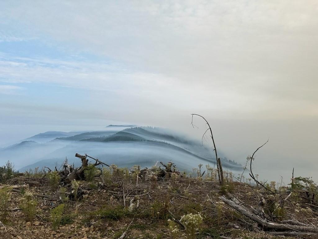
Smoke rises from areas in the interior of the Lane 1 Fire on Thursday afternoon, Sept. 5, 2024, that had not previously burned. Warm, dry conditions combined with drainage aligned winds rekindled smoldering interior pockets along the Calapooya Divide between Shane Saddle and Twin Rocks. AKCIMT photo.
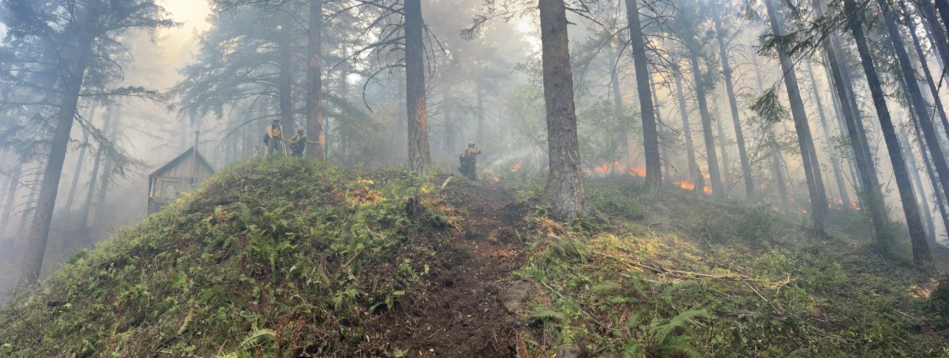
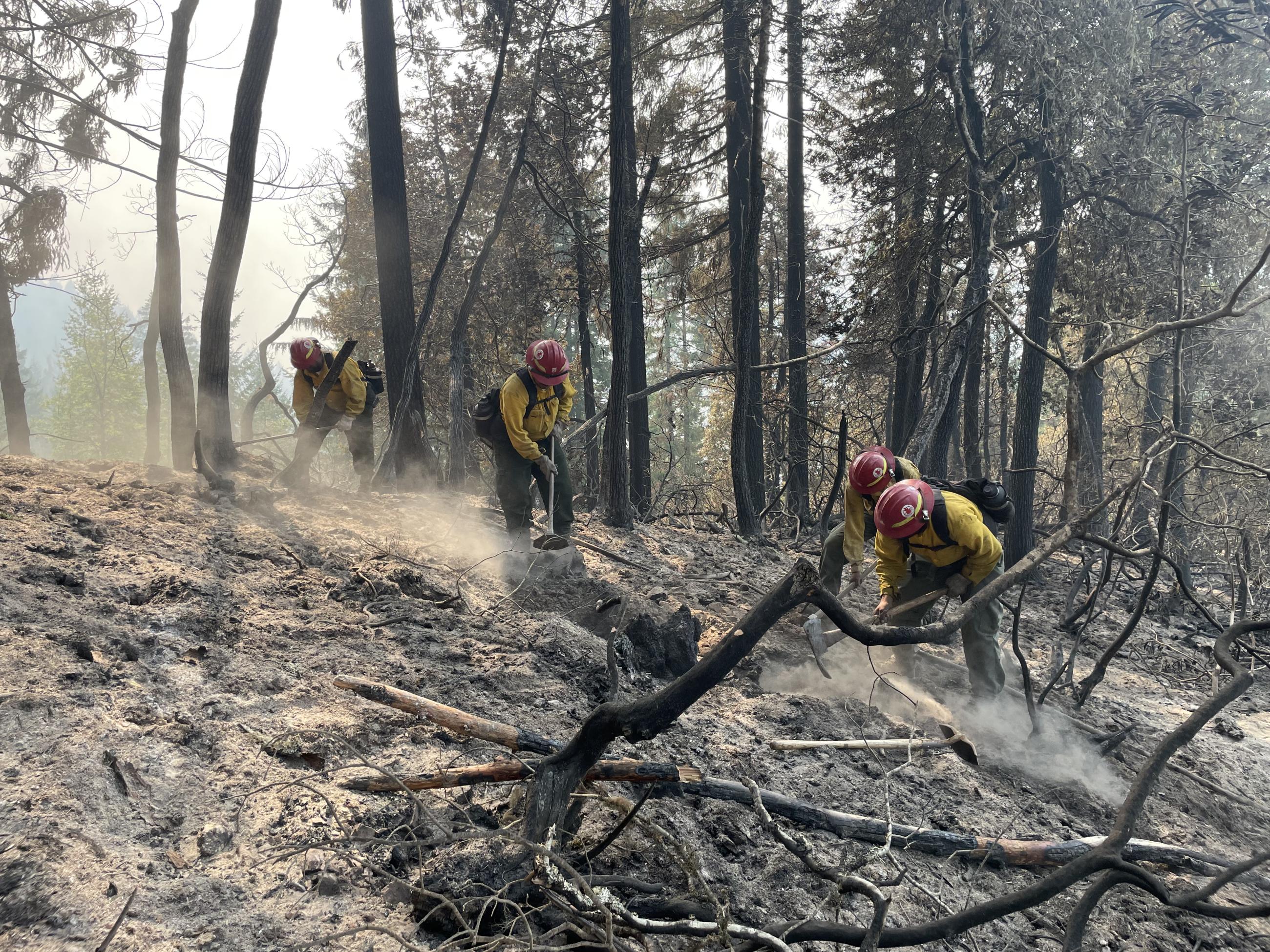
Firefighters conduct a firing operation to protect a cabin southeast of Cat Mountain on Wednesday, Sept.4, 2024, on the Lane 1 Fire. Firefighters cut a handline around the site and conducted a small firing operation to remove fuels around the cabin. Warm, dry weather increased fire activity in interior pockets of unburned vegetation flared up Wednesday evening in several areas. AKCIMT photo.
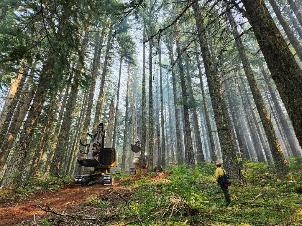
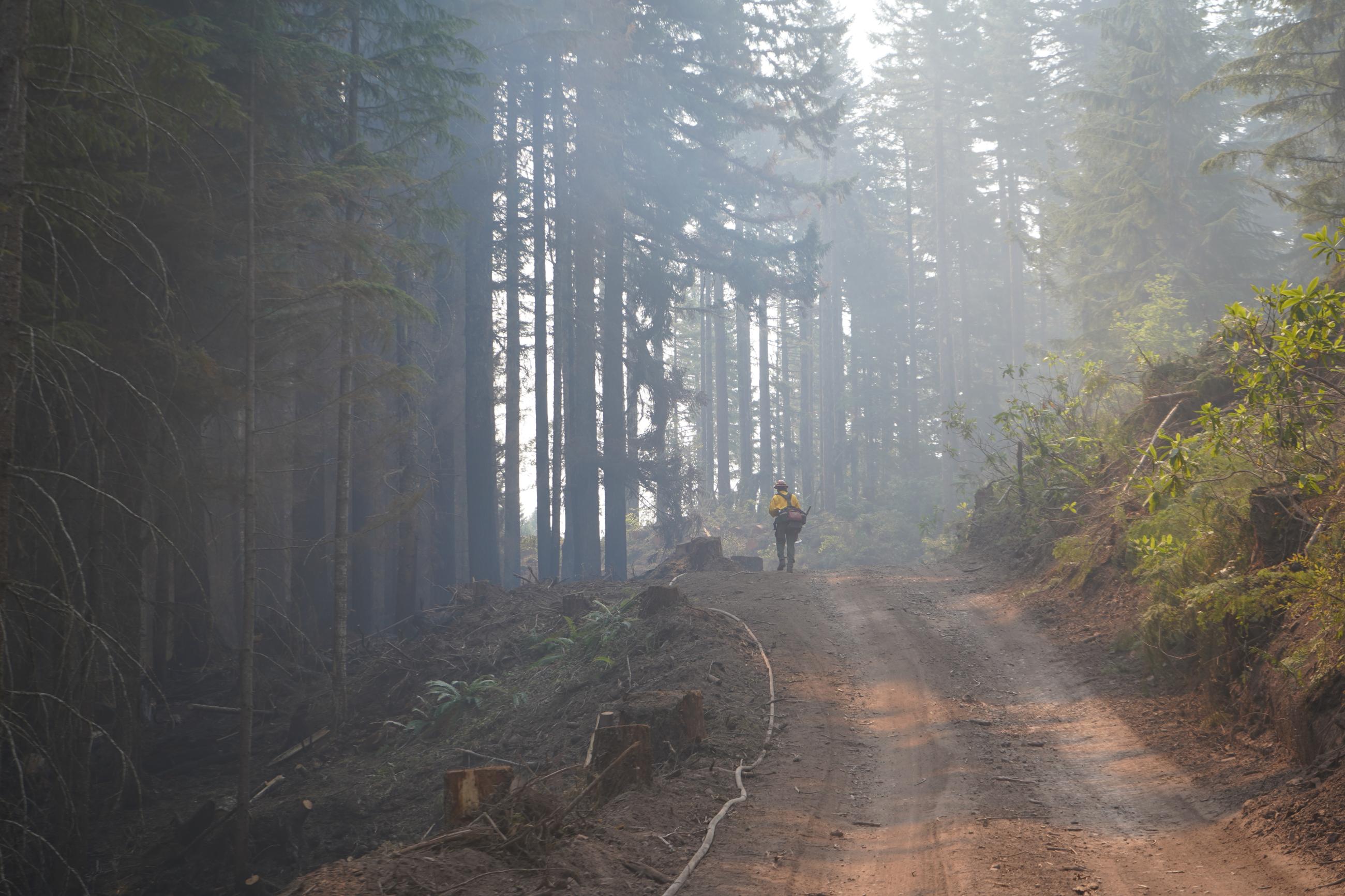
Suppression repair equipment moves through the forest along the Adams Mountain Trail. USFS photo
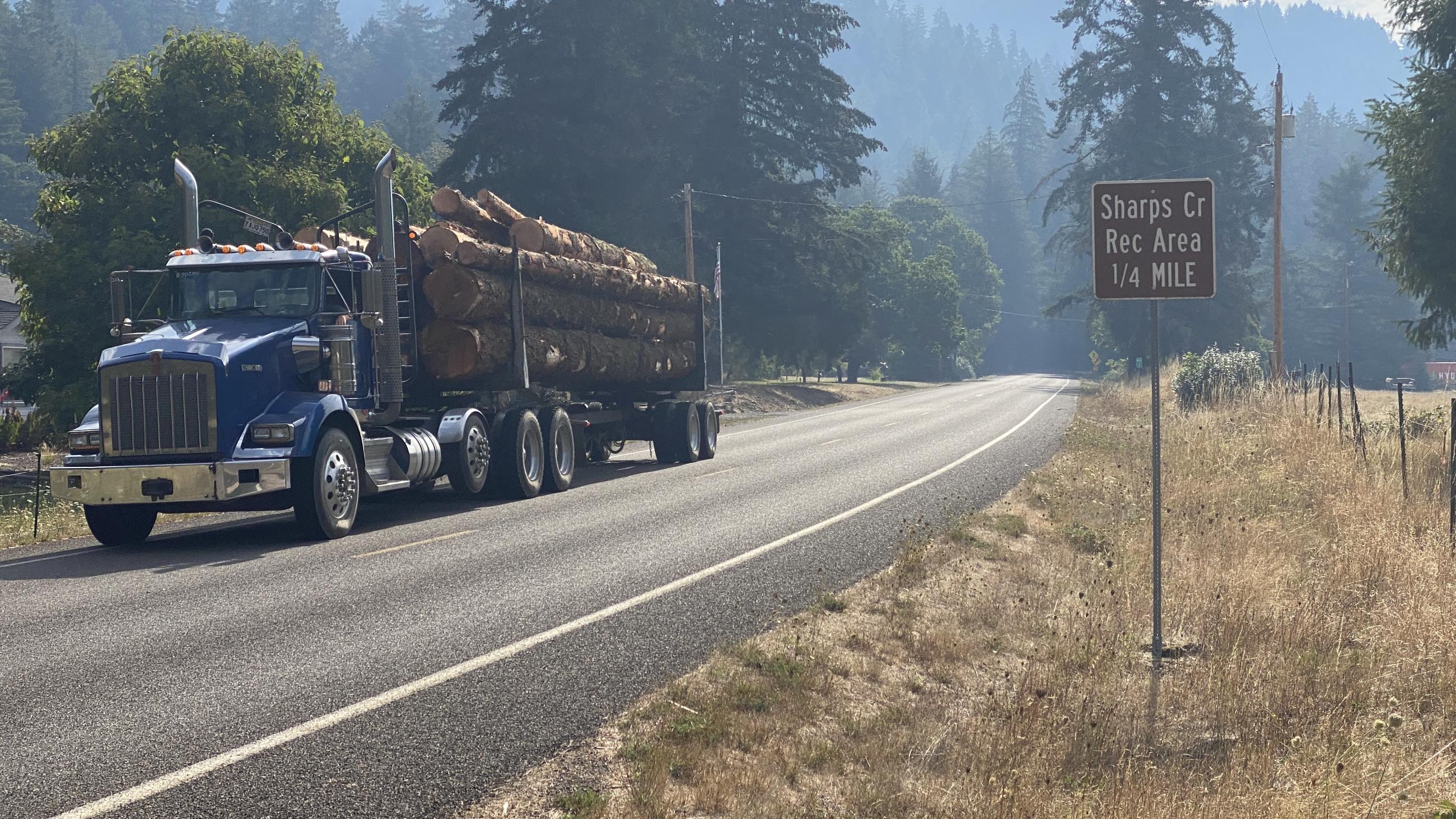
A log truck loaded with BLM salvaged logs from the Lane 1 Fire makes its way to a landing on Sharps Creek Road on Saturday, Aug. 31, 2024. Fire weakened trees are being removed from firelines and roadways for the safety of firefighters performing suppression repair and to make areas safe for the public. Sam Harrel/AKCIMT1
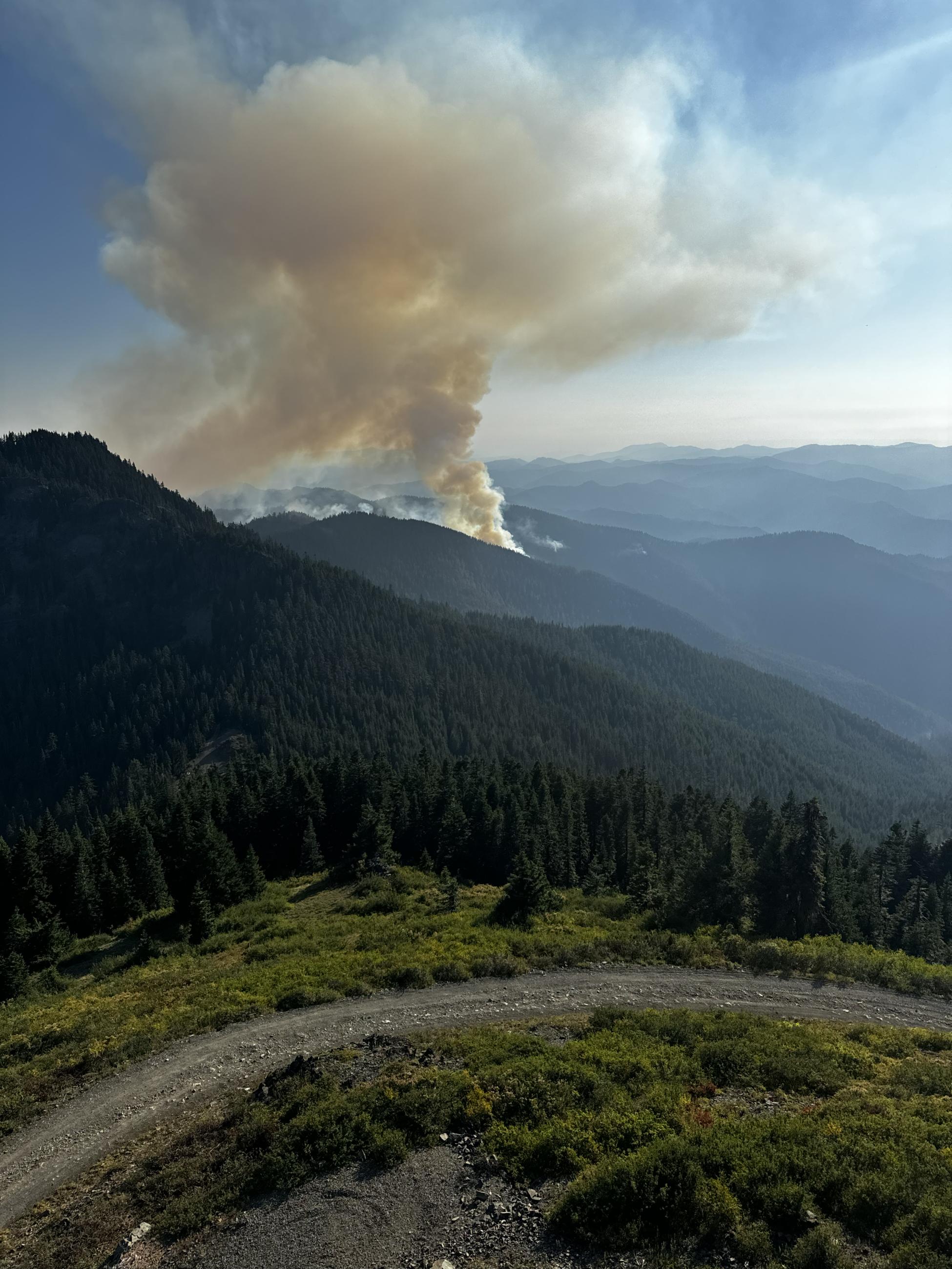
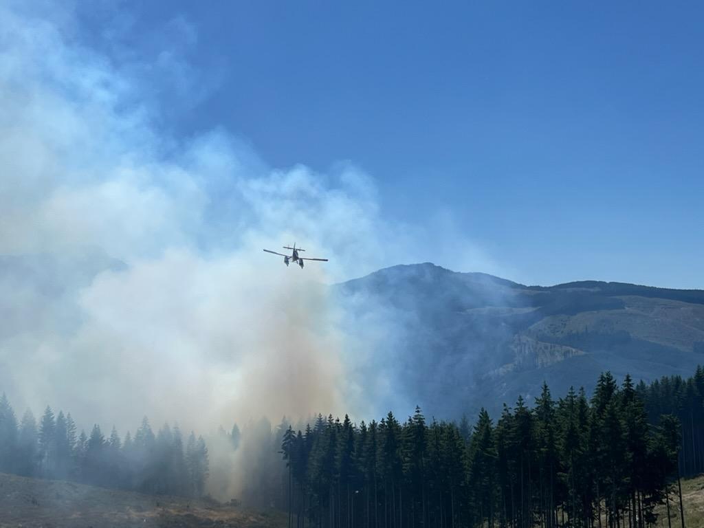
Smoke rises from interior pockets of unburned vegetation on the eastern portion of the Lane 1 Fire on Friday, Aug. 30, 2024. Warm, dry weather has allowed these fuels to dry and rekindle. They pose no threat to containment lines. Norm McDonald/AKCIMT1
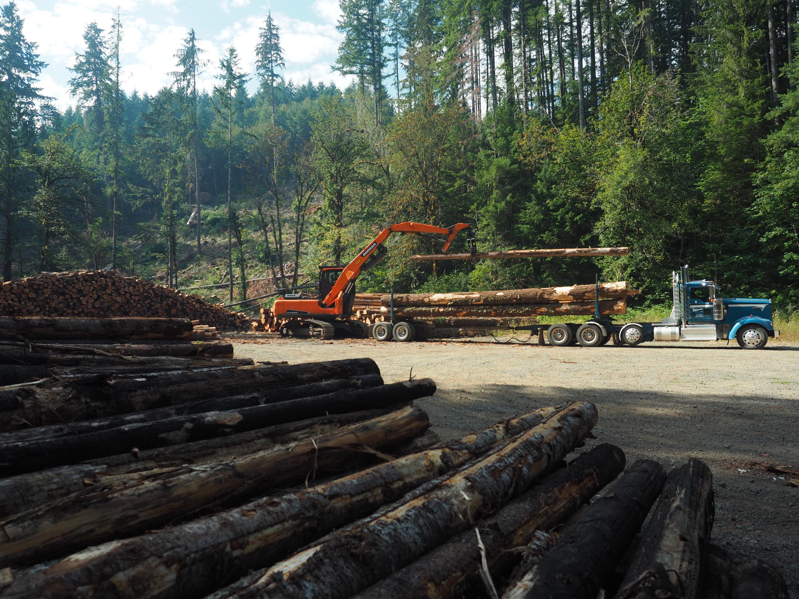
Salvaged logs lay in the foreground of a BLM landing area as a log loader removes timber from a truck Saturday, Aug. 31, 2024, on the Lane 1 Fire. Fire weakened trees are being removed from firelines and roadways for the safety of firefighters performing suppression repair and to make areas safe for the public. Auby Andreas/AKCIMT1
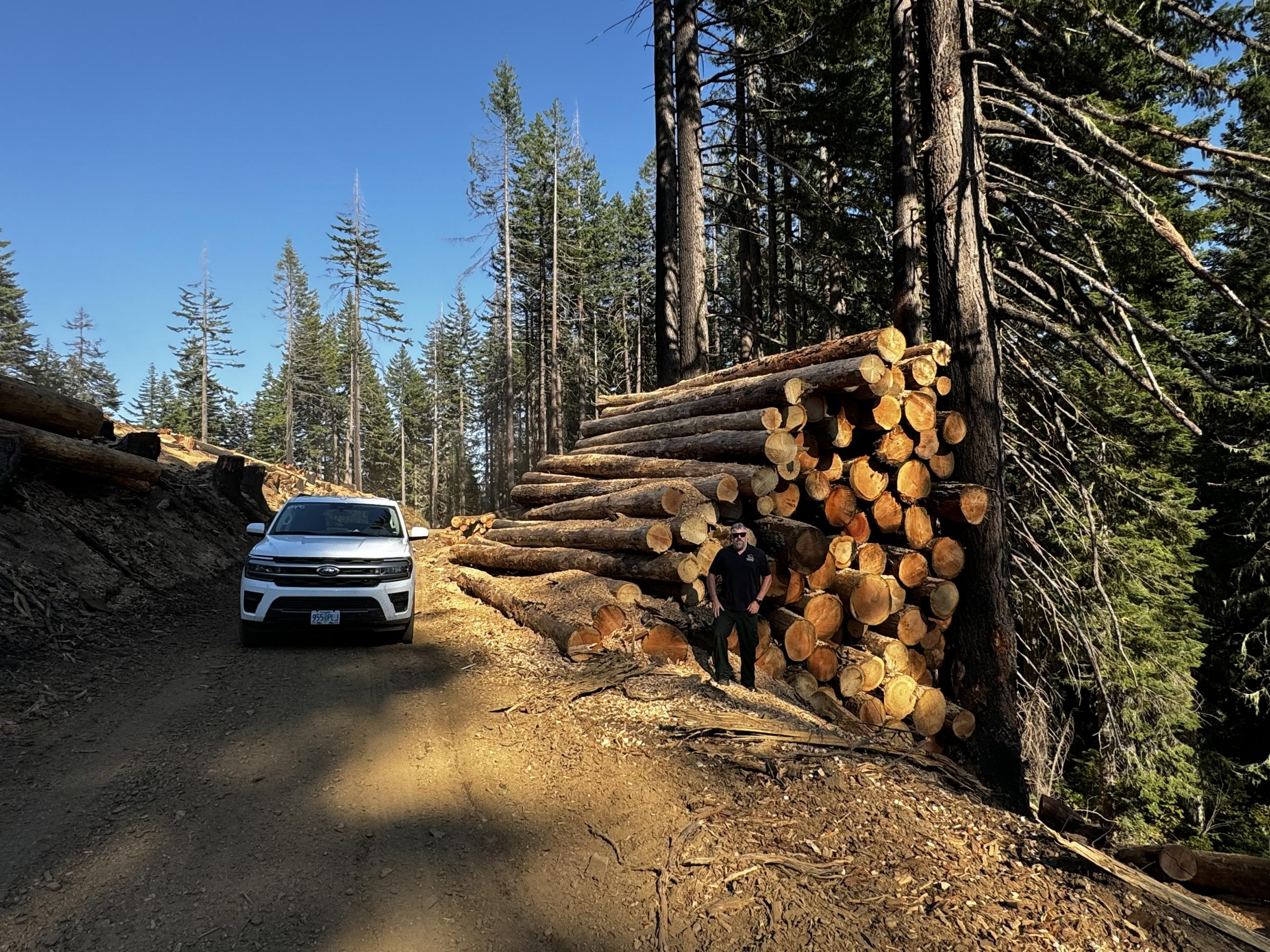
Processed salvaged timber is stacked in a temporary deck along an Unpqua National Forest road Friday, Aug. 30, 2024. Fire weakened trees are being removed from firelines and roadways for the safety of firefighters performing suppression repair and to make areas safe for the public. Jon Glover/AKCIMT1
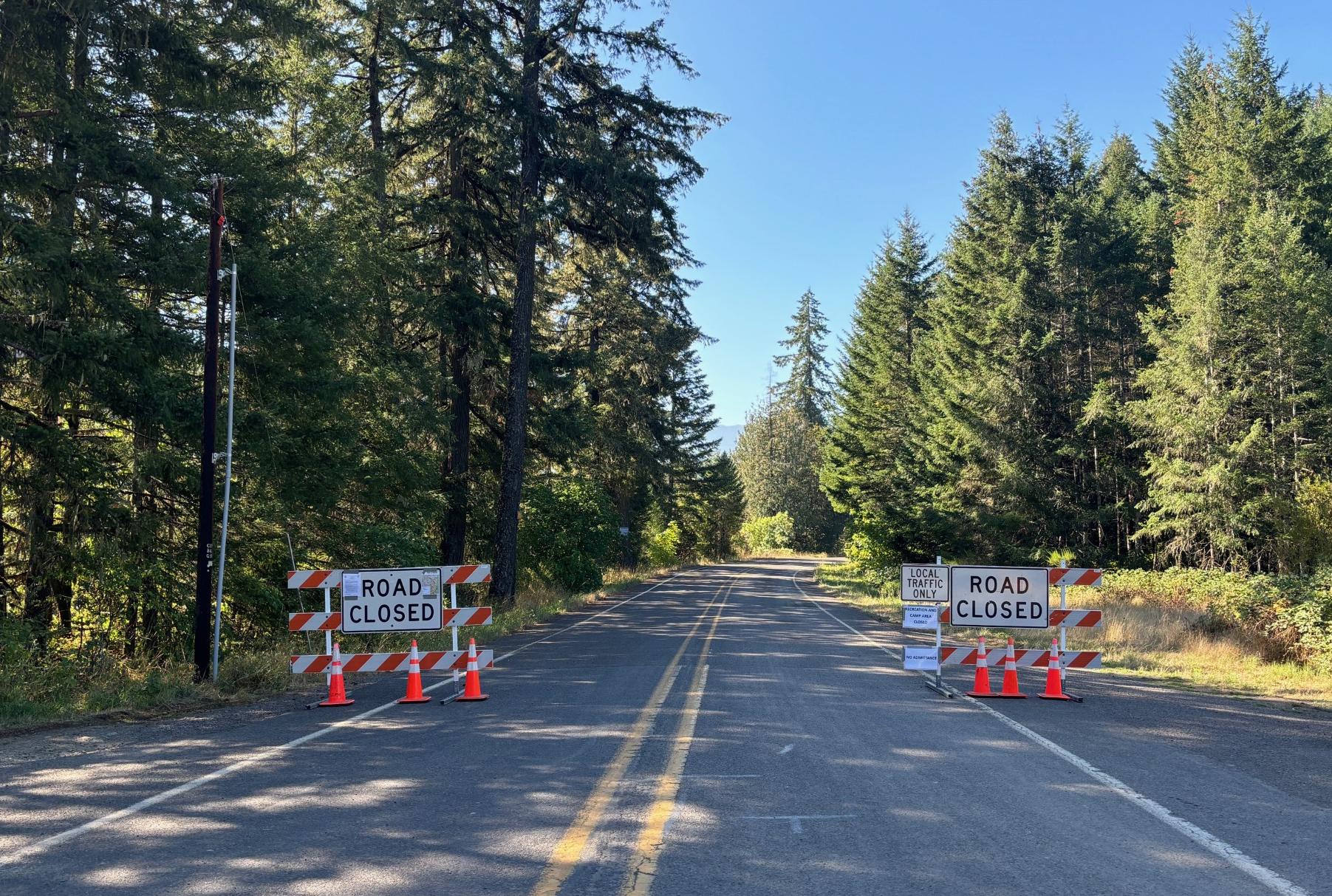
Sharps Creek Road is closed just south of the Row River. The public can access the transfer site beyond the road barriers shown in this Thursday, Aug. 29, 2024, photograph. Many of the roads, trails and general forest areas within the Umpqua National Forest, along with BLM managed lands, are closed to all forms of public access. Aubry Andreas/AKIMT1