
Incident Media Photographs
Could not determine your location.
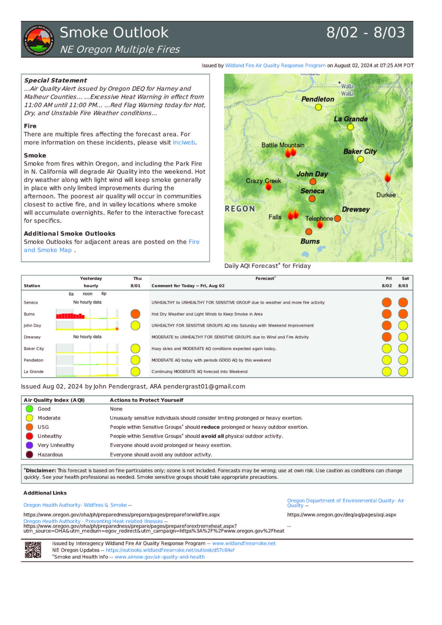
 Wildfire
 Prescribed Fire
 Burned Area
Response
Burned Area
Response Other
Other
Durkee Fire
Unit Information
Agency Name: Bureau of Land Management

Agency Name: Bureau of Land Management
Incident Contacts
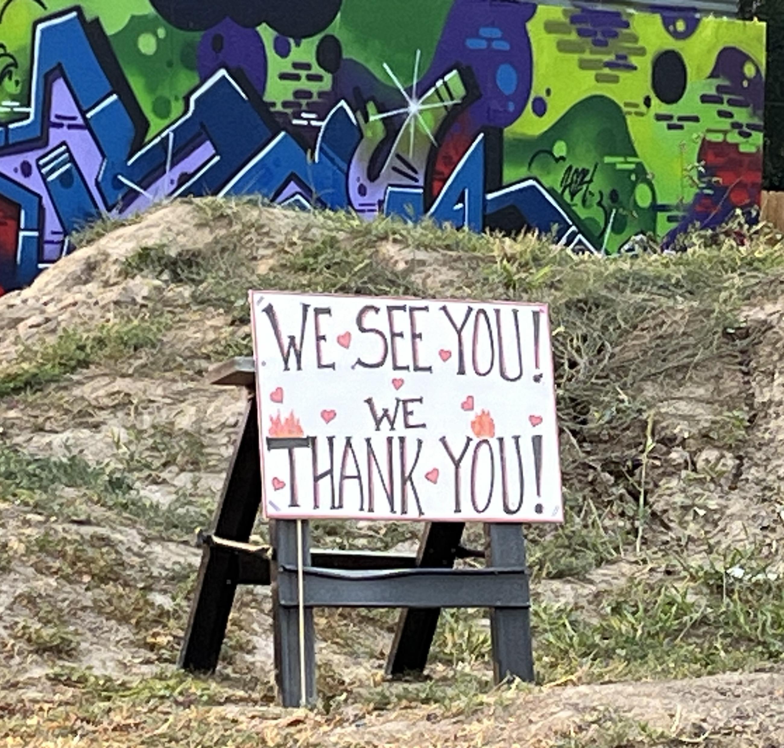
Photographs Gallery
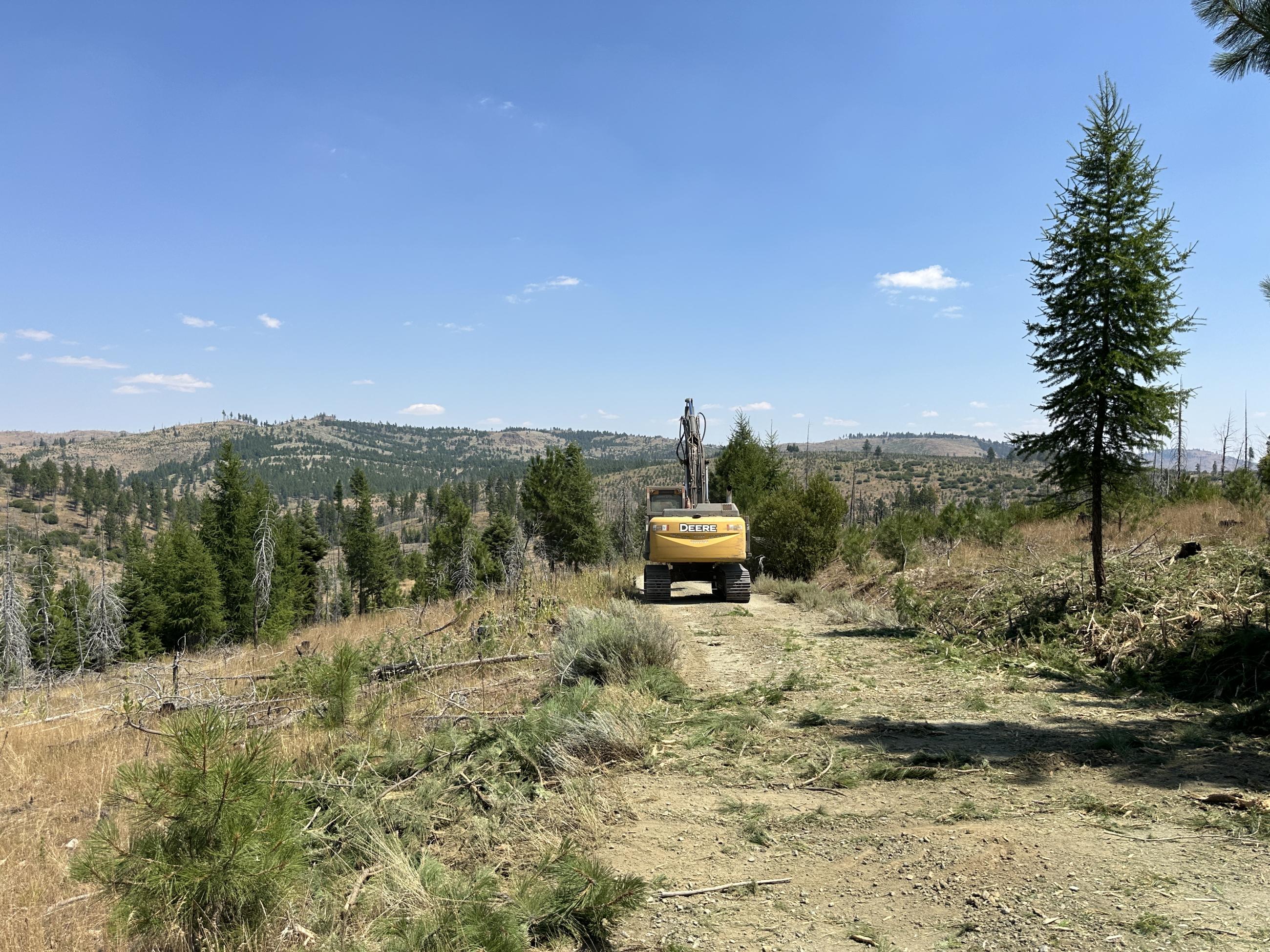
Photo by Brook Smith, Southern Area Gold Team
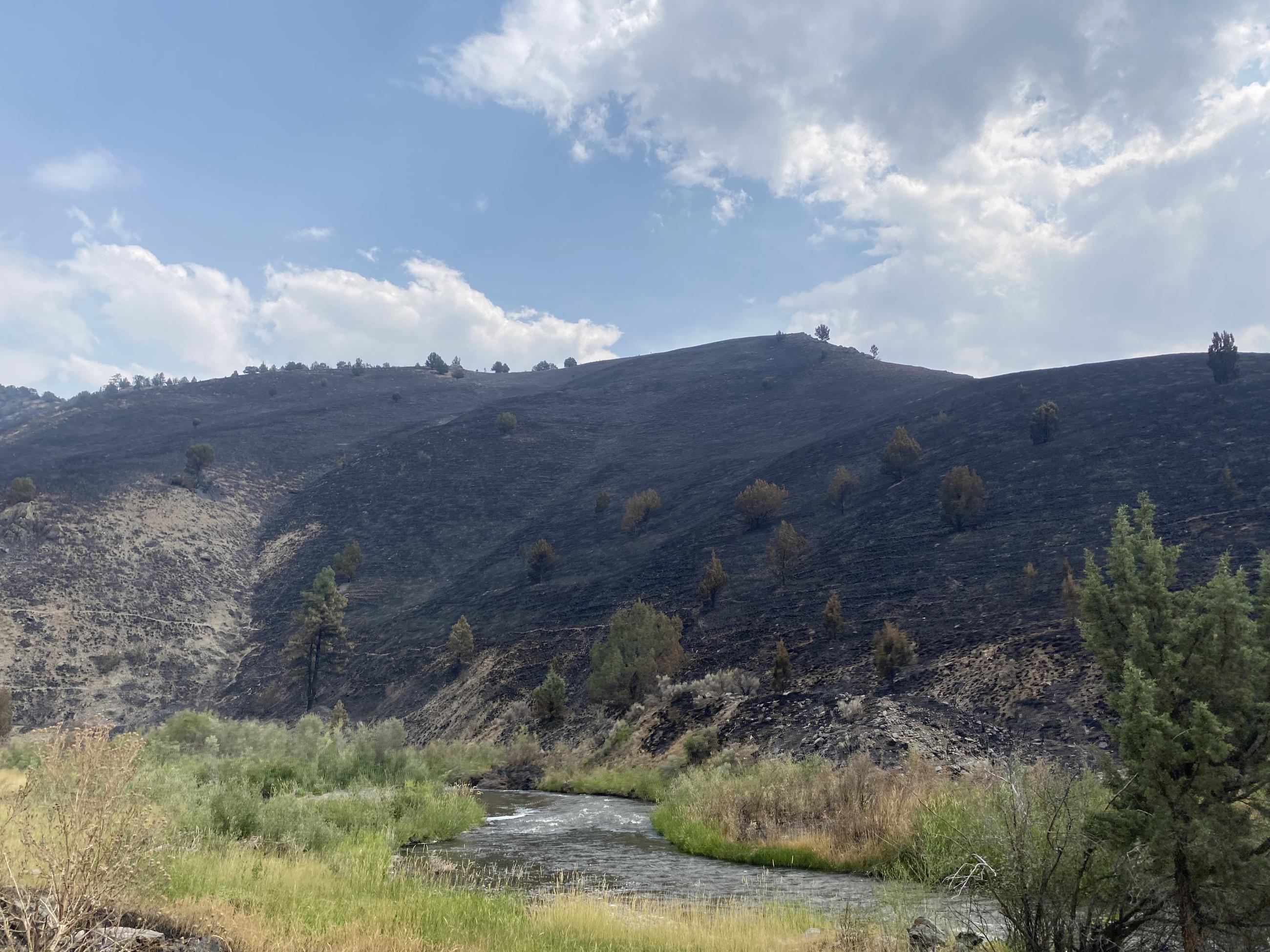
Photo by Susan Miller, Southern Area Gold Team
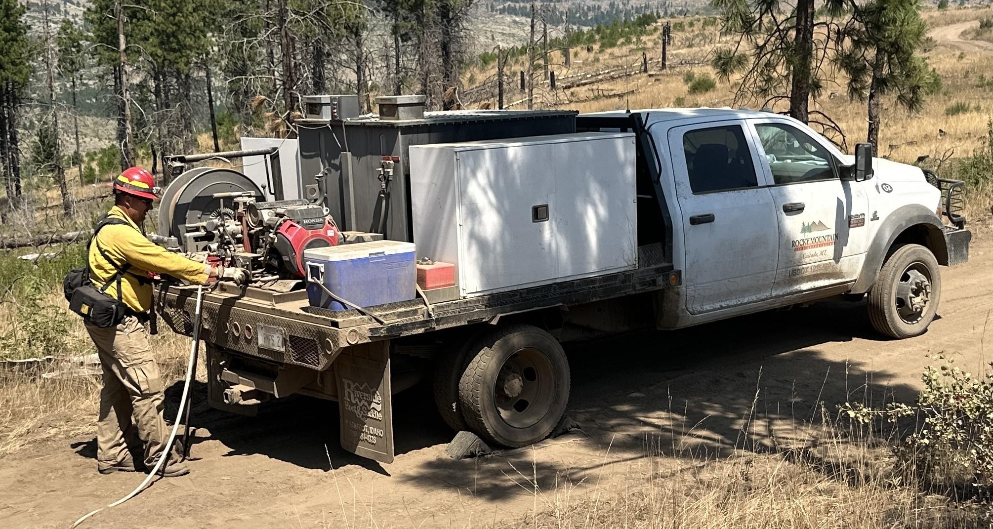
An engine boss gets the water pump working during mop up on the Durkee Fire
Photo by Mark Hoffman
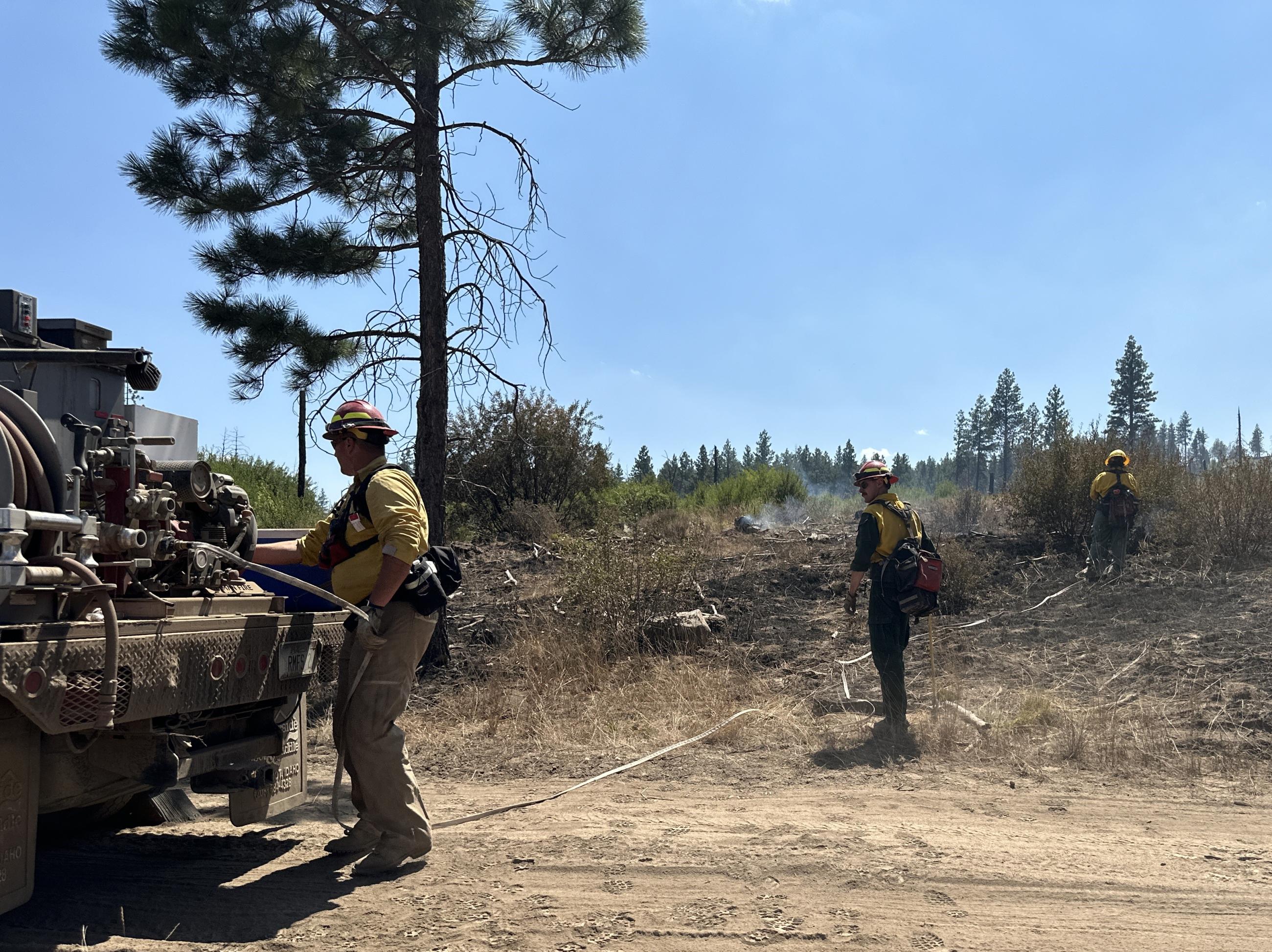
Photo by Brook Smith, Southern Area Gold Team
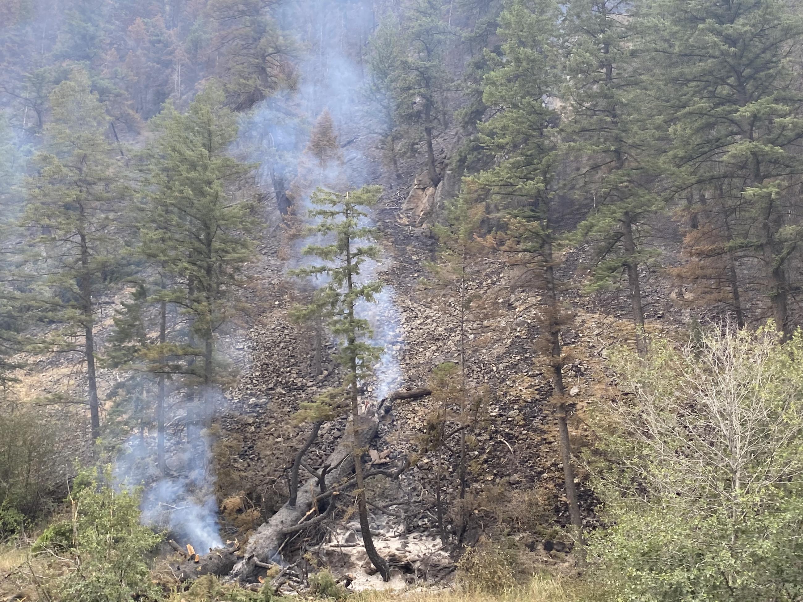
Photo by Susan Miller, Southern Area Gold Team
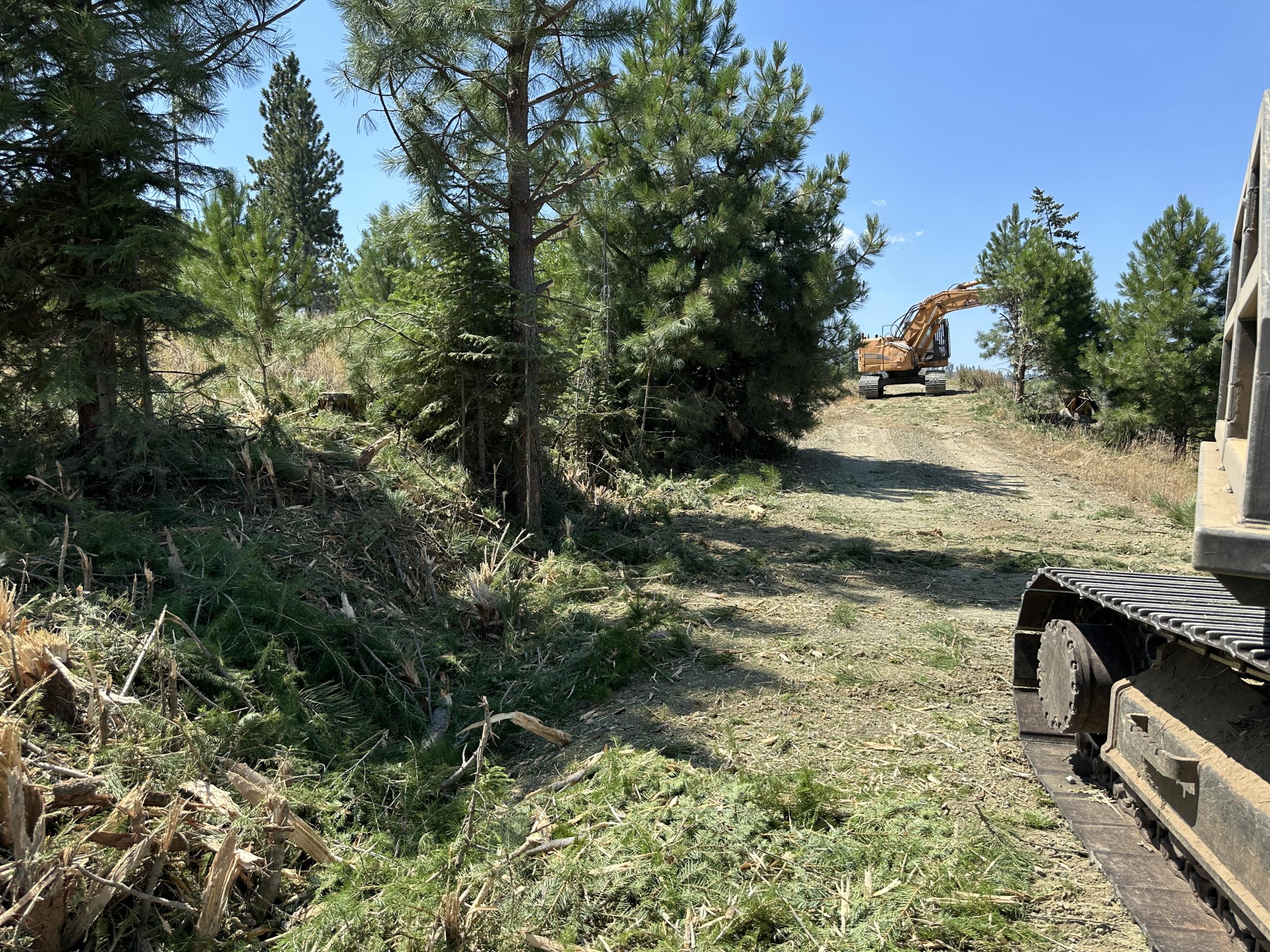
Photo by Brook Smith, Southern Area Gold Team
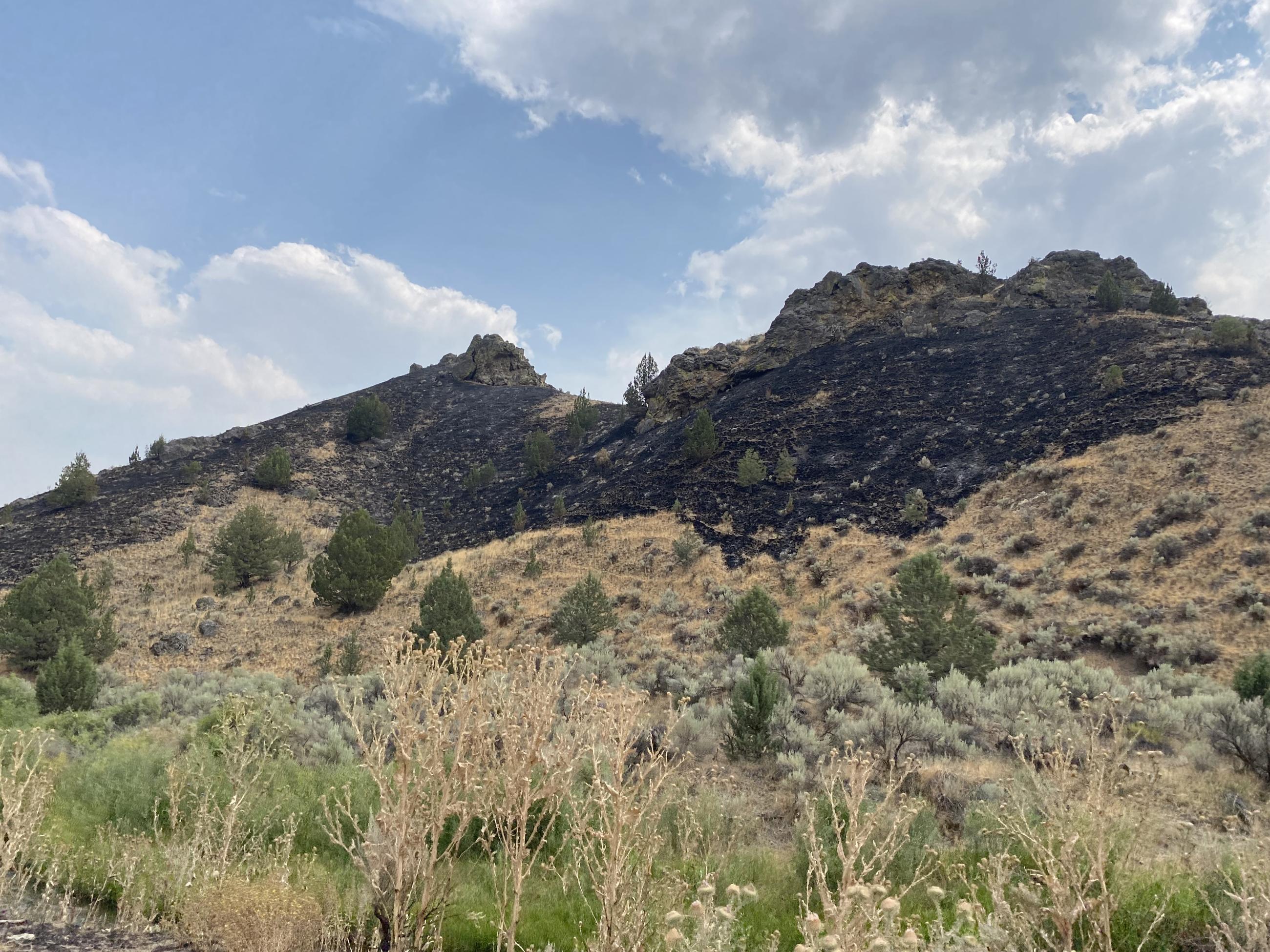
Photo by Susan Miller, Southern Area Gold Team
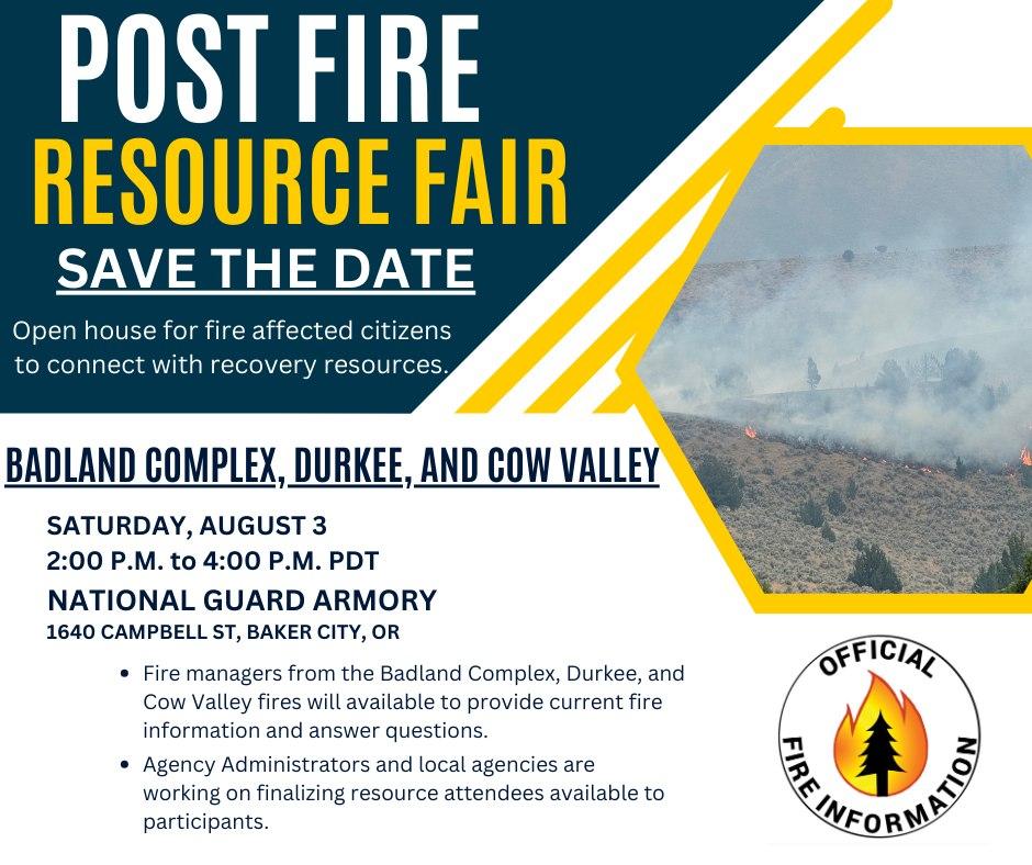
Open house for fire affected citizens to connect with recovery resources. Local and state recovery agencies and managers of the Durkee Fire and Badlands Complex Fires 2024 are hosting a Post Fire Resource Fair at the National Guard Armory, 1640 Campbell St, Baker City, OR from 2:00 p.m. to 4:00 p.m. today, Saturday, August 3, 2024.
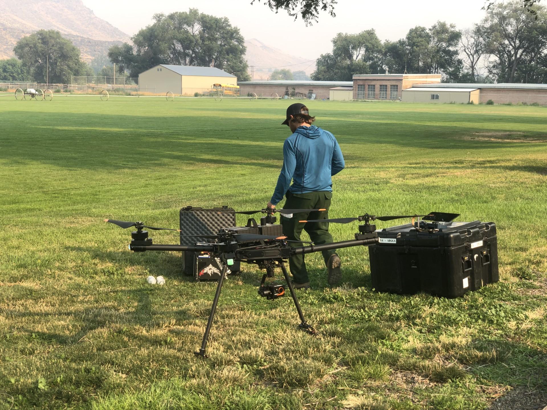
An Uncrewed Aircraft System (UAS; also known as drone) arrived at Durkee Fire’s Incident Command Post on July 25, 2024. A UAS is used for infrared data collection (which helps map the fire) and for reconnaissance critical to informing firefighting strategy and safety. They can often fly when other aircraft can’t due to weather, which means that especially on critical weather days, the UAS provides invaluable information to firefighters. Please remember that there is a Temporary Flight Restriction (TFR) in place over the fire area. If a non-incident drone or other aircraft flies, we can’t!
Photo by Jessica Reed, NW Team 6