Incident Media Maps
Settings - change map background and toggle additional layers
Filter - control incident types displayed on map.
Zoom to your location
Reset map zoom and position
Could not determine your location.
Show Legend
 Wildfire
 Prescribed Fire
 Burned Area
Response
Burned Area
Response Other
Other
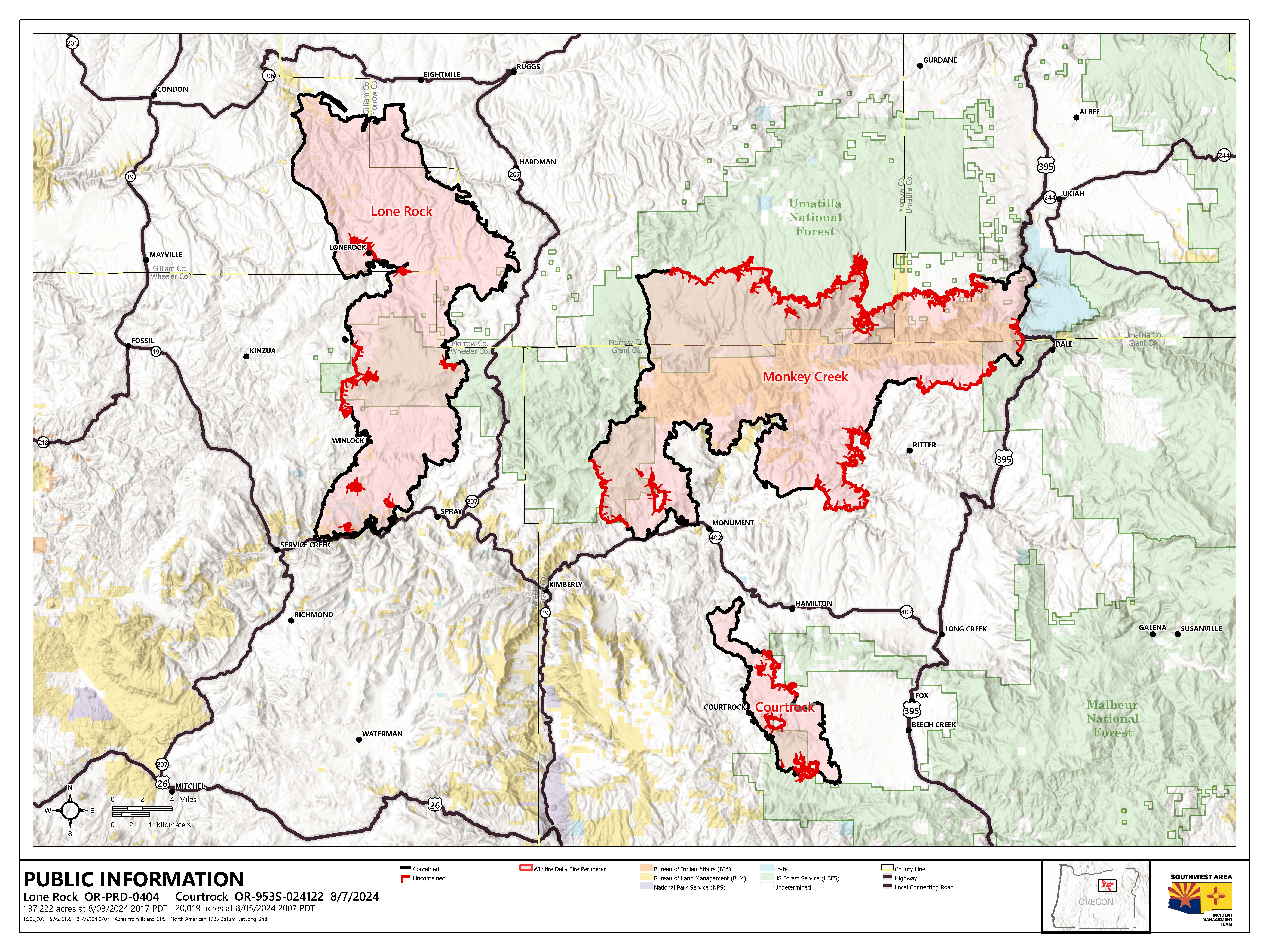
Lone Rock Fire
Unit Information

Incident Contacts
- Fire InformationPhone:541-416-6700Hours:7:45 a.m. to 4:30 p.m.
Maps Gallery
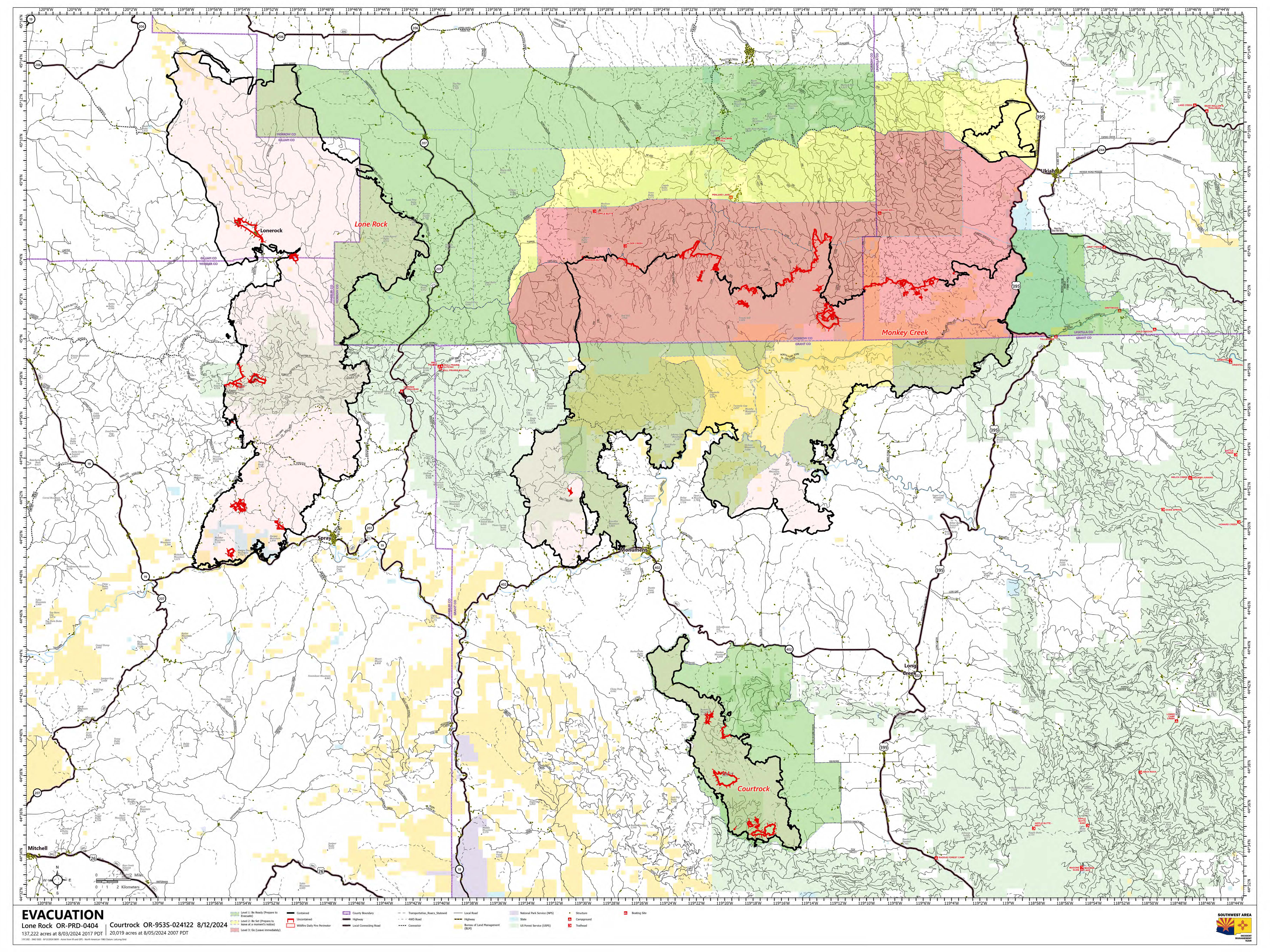


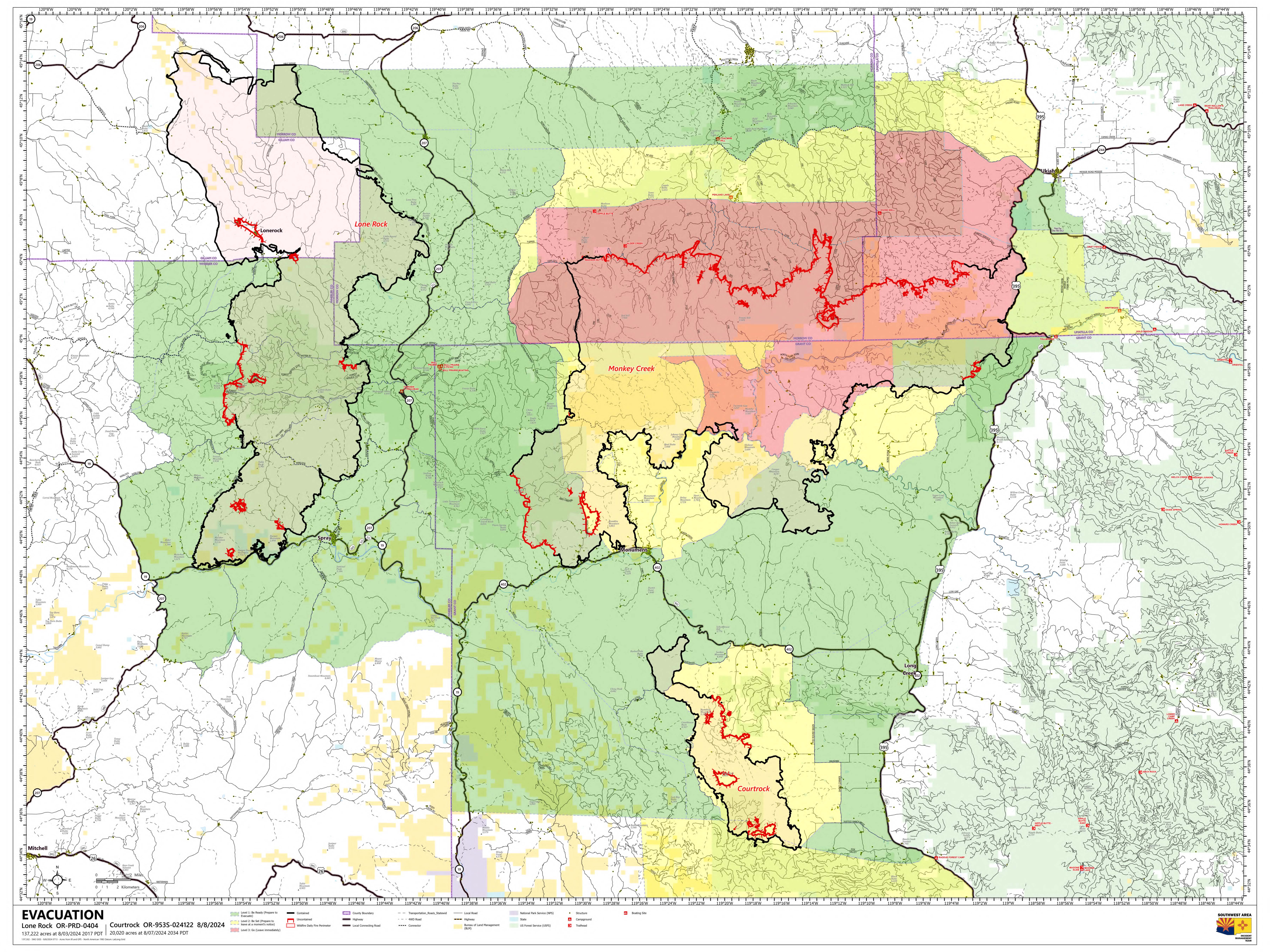
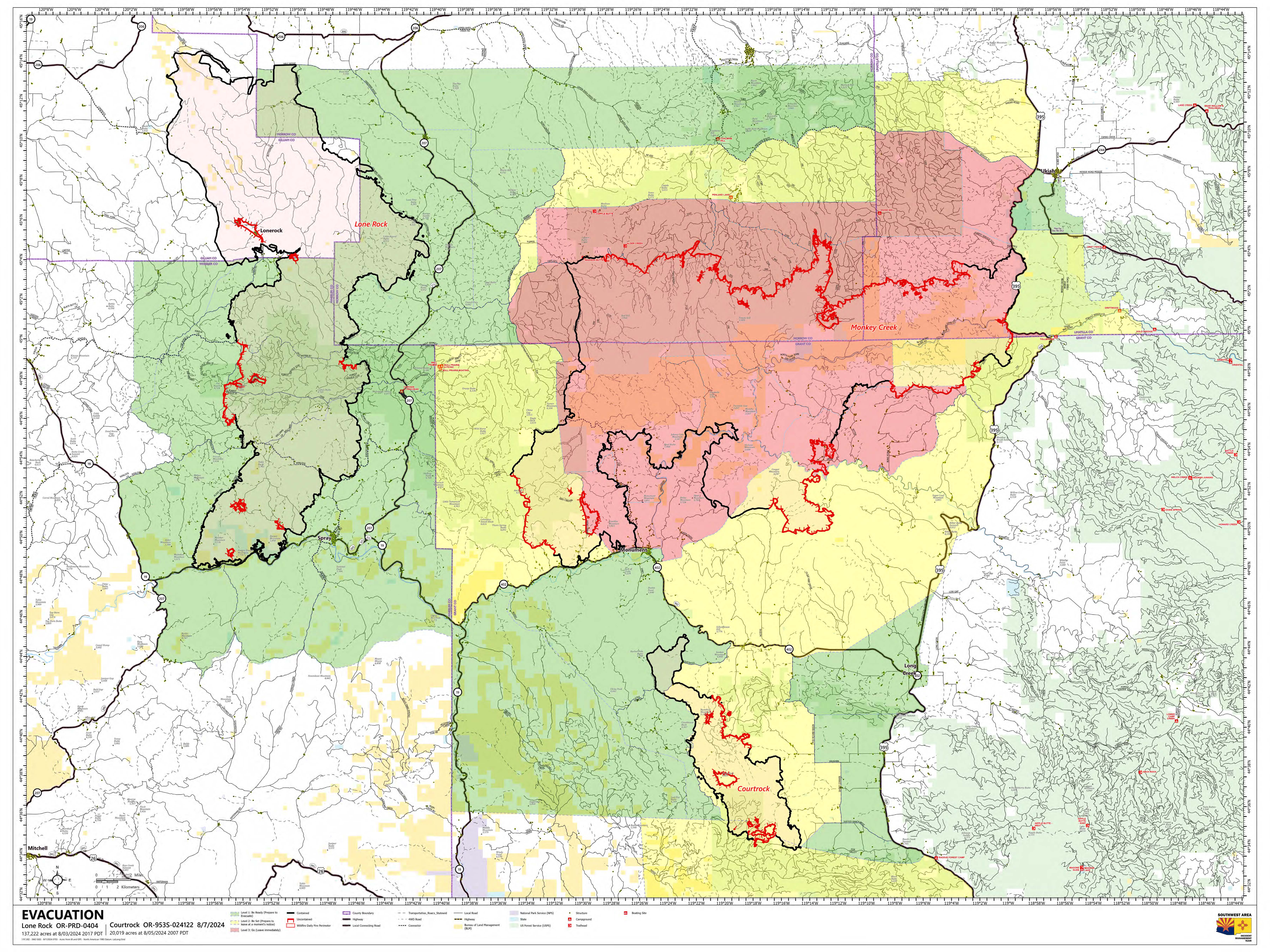
Evacuation Map for the areas surrounding and including the Lone Rock and Courtrock fires. The majority of the Lone Rock Fire has been downgraded out of evacuation status. The remaining areas are at a Level 1 (ready) as of this publication on Friday, August 9, 2024.