Incident Media Photographs
Could not determine your location.
Photographs Gallery
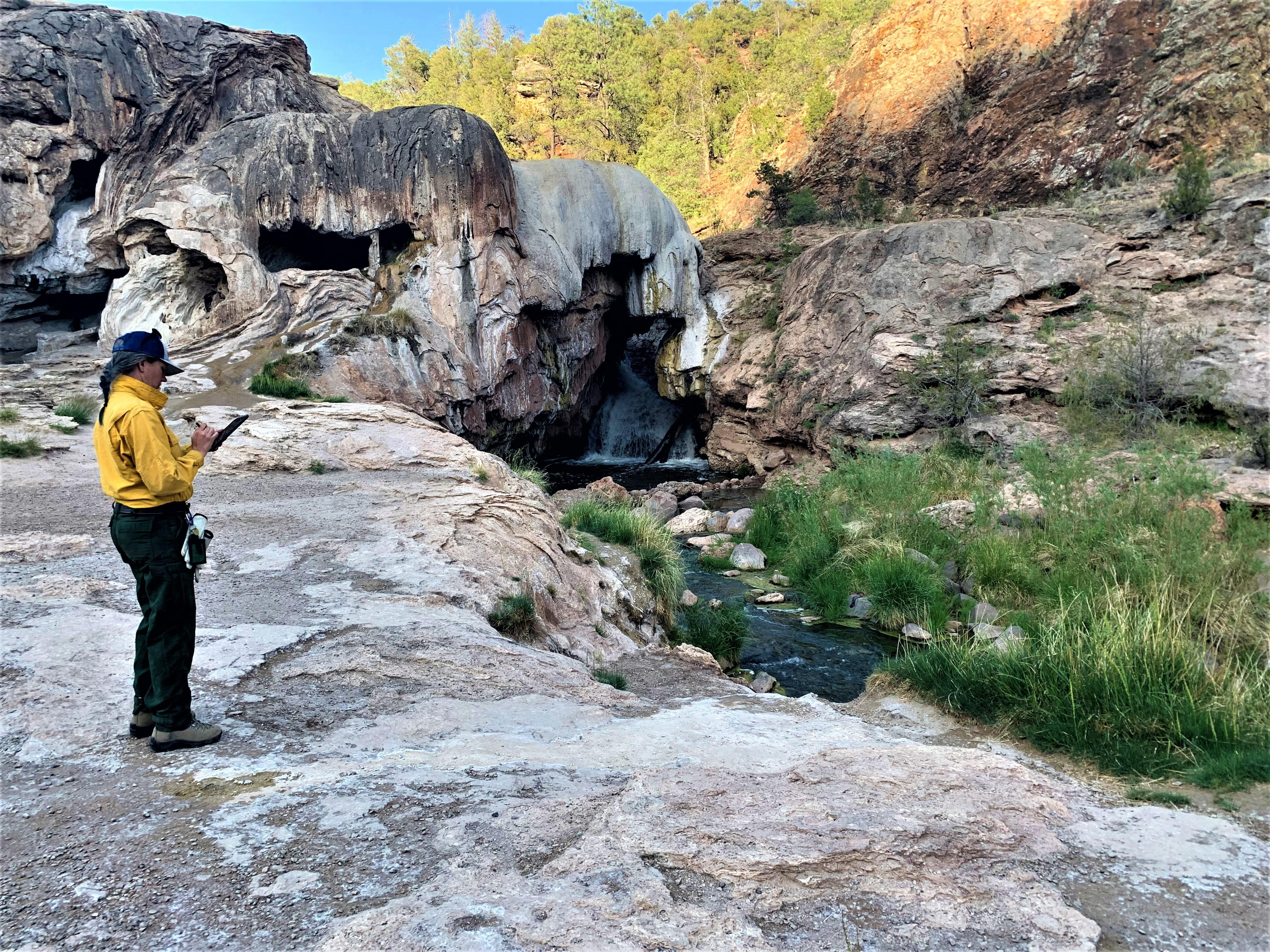
![BAER Assessing Cerro Pelado Burned Area Image showing BAER Hydrologist Kelly Mott-Lacroix documenting her assessment data downstream and outside the fire perimeter of the Cerro Pelado burned area at the Soda Dam off of Highway SR4](https://inciweb-prod-media-bucket.s3.us-gov-west-1.amazonaws.com/s3fs-public/styles/max_2600x2600/public/2022-10/2022_05_23-22.49.30.429-CDT.jpeg?VersionId=we_eQ0lDgUbYaTgLA5.7XvXejBfHdNZ3&itok=9ZuDSncY)
BAER Hydrologist Kelly Mott-Lacroix documenting her assessment data downstream and outside the fire perimeter of the Cerro Pelado burned area at the Soda Dam off of Highway SR4
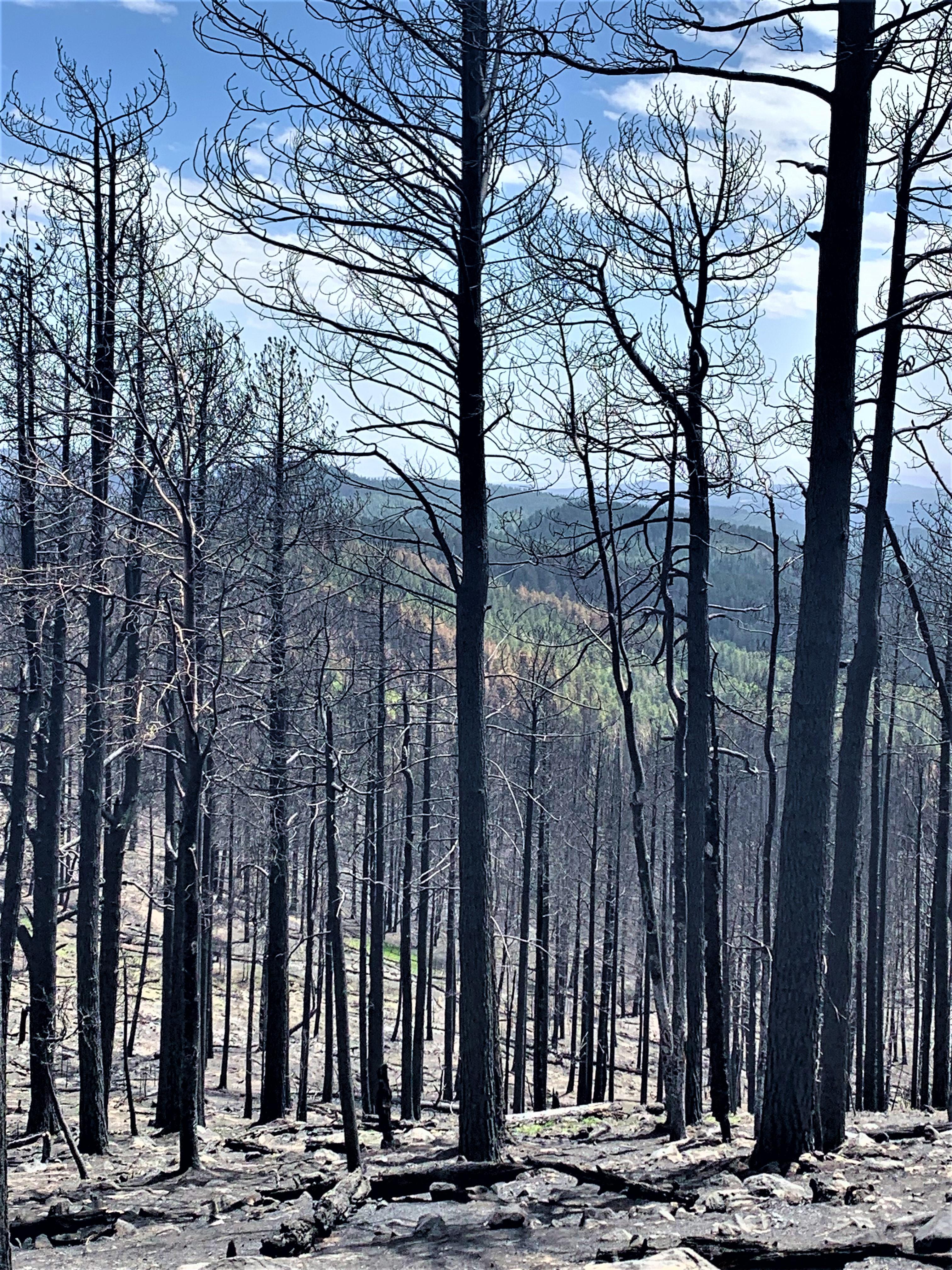
![BAER Assessing Cerro Pelado Burned Area Image showing View near top of Forest Service Road FSR270 from high soil burn severity into moderate and low within the Cerro Pelado Burned Area](https://inciweb-prod-media-bucket.s3.us-gov-west-1.amazonaws.com/s3fs-public/styles/max_2600x2600/public/2022-10/2022_05_23-22.49.28.927-CDT.jpeg?VersionId=eb8yX8ULbN0DgpQzLT6KTES4.sG6gWDD&itok=l3_vUS7u)
View near top of Forest Service Road FSR270 from high soil burn severity into moderate and low within the Cerro Pelado Burned Area
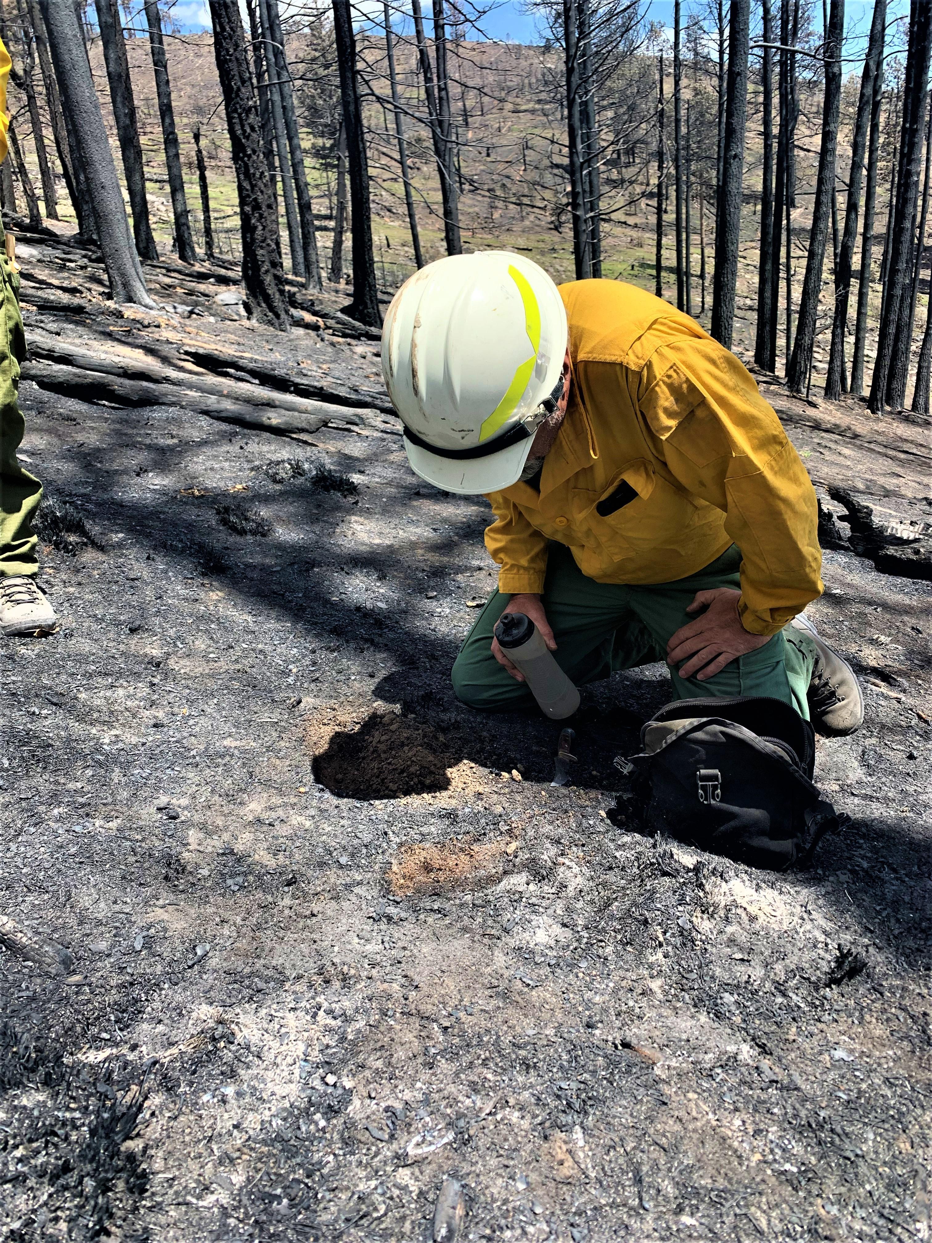
![BAER Assessing Cerro Pelado Burned Area Image showing BAER Soil Scientist Tom Giambra testing hydrophobicity out near Forest Service Road FSR270 within the Cerro Pelado Burned Area](https://inciweb-prod-media-bucket.s3.us-gov-west-1.amazonaws.com/s3fs-public/styles/max_2600x2600/public/2022-10/2022_05_23-22.49.29.675-CDT.jpeg?VersionId=sDNUQldnVAYC4ipR2ichM3AISJQgOnuq&itok=rZBy-Nf9)
BAER Soil Scientist Tom Giambra testing hydrophobicity out near Forest Service Road FSR270 within the Cerro Pelado Burned Area
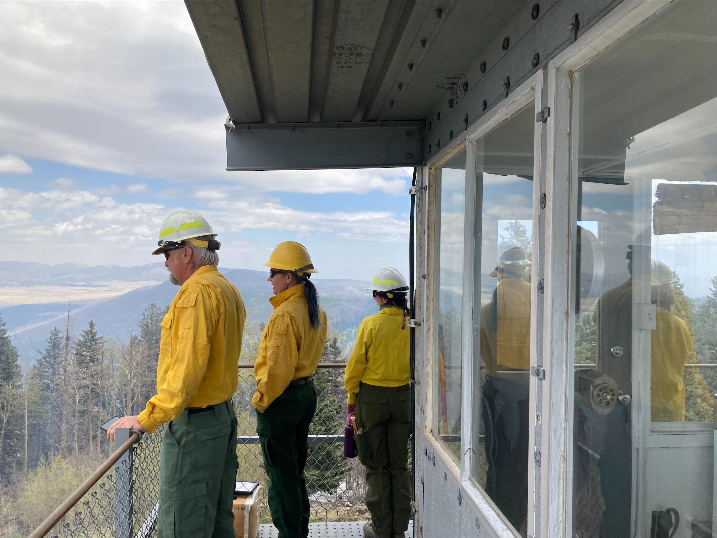
![BAER Assessment Team Views Burned Area Image showing BAER Team--Landscape View of Burned Area from Cerro Pelado Peak](https://inciweb-prod-media-bucket.s3.us-gov-west-1.amazonaws.com/s3fs-public/styles/max_2600x2600/public/2022-10/2022_05_22-13.16.54.355-CDT.jpeg?VersionId=pAG.mZhvDIAqs69ofoeJnzkfZThDFDs3&itok=Qdxw6Eav)
BAER Team--Landscape View of Burned Area from Cerro Pelado Peak
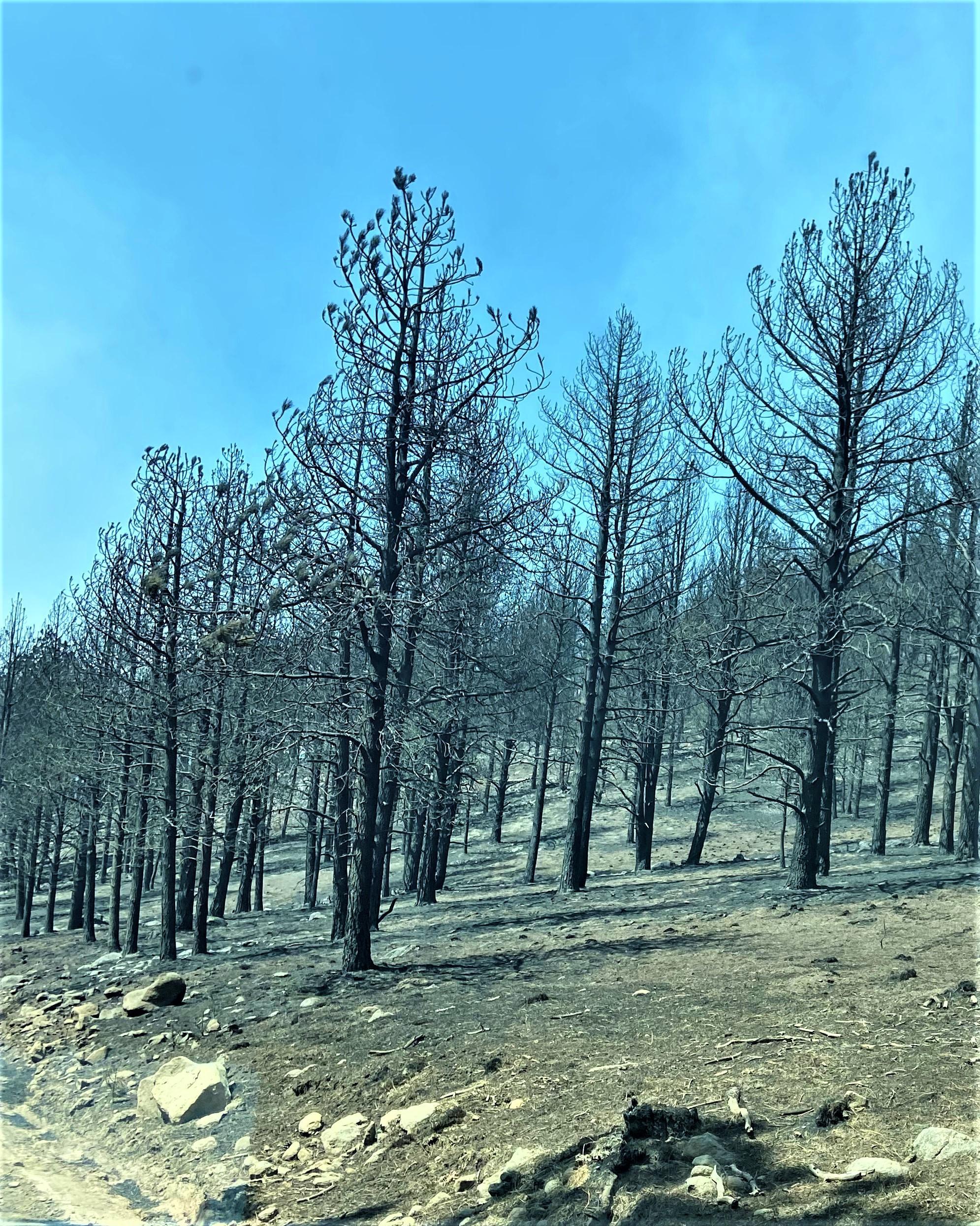
![Cerro Pelado Burned Area Along FSR270 Road Image showing Cerro Pelado Burned Area Along FSR270 Road](https://inciweb-prod-media-bucket.s3.us-gov-west-1.amazonaws.com/s3fs-public/styles/max_2600x2600/public/2022-10/2022_05_21-18.02.09.067-CDT.jpeg?VersionId=DGw3lK0au.8HCIQF.ys7.0m15vCeK93q&itok=7vCCqJIk)
Cerro Pelado Burned Area Along FSR270 Road
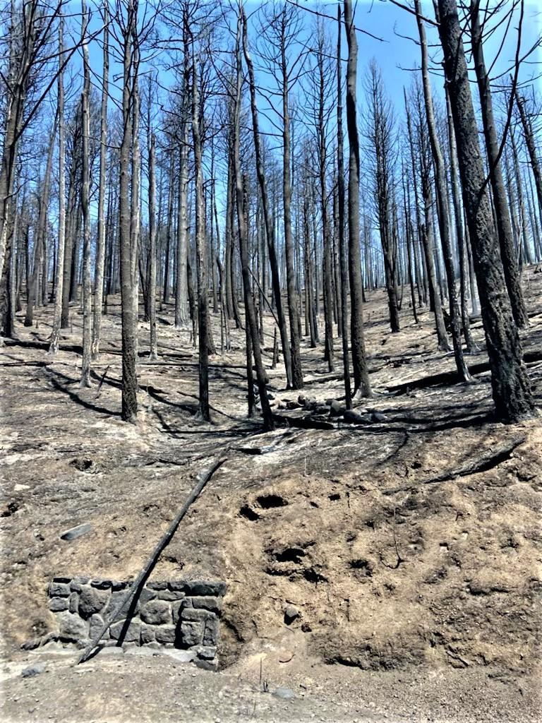
![Cerro Pelado Burned Area Along FSR270 Road Image showing Cerro Pelado Burned Area Along FSR270 Road](https://inciweb-prod-media-bucket.s3.us-gov-west-1.amazonaws.com/s3fs-public/styles/max_2600x2600/public/2022-10/2022_05_21-18.02.09.833-CDT.jpeg?VersionId=SBs.PmQpW6iHCOsbcJ_zsNztmNyDYUsy&itok=a1Yzvzpo)
Cerro Pelado Burned Area Along FSR270 Road
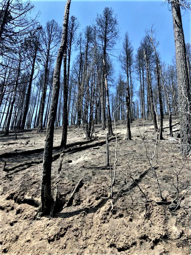
![Cerro Pelado Burned Area Along FSR270 Road Image showing Cerro Pelado Burned Area Along FSR270 Road](https://inciweb-prod-media-bucket.s3.us-gov-west-1.amazonaws.com/s3fs-public/styles/max_2600x2600/public/2022-10/2022_05_21-18.02.09.210-CDT.jpeg?VersionId=5Ofxwo2QM_hlk.pgKKTuqsXZhgEOjG6T&itok=aRGFgSkg)
Cerro Pelado Burned Area Along FSR270 Road
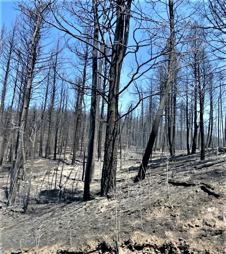
![Cerro Pelado Burned Area Along FSR270 Road Image showing Cerro Pelado Burned Area Along FSR270 Road](https://inciweb-prod-media-bucket.s3.us-gov-west-1.amazonaws.com/s3fs-public/styles/max_2600x2600/public/2022-10/2022_05_21-18.02.09.553-CDT.jpeg?VersionId=DL8Jz6j3rTsPunIic83TEbOyqiBfEDh3&itok=yZDWmJQi)
Cerro Pelado Burned Area Along FSR270 Road