
Creek Fire Morning Update November 9
Related Incident:
Publication Type: News
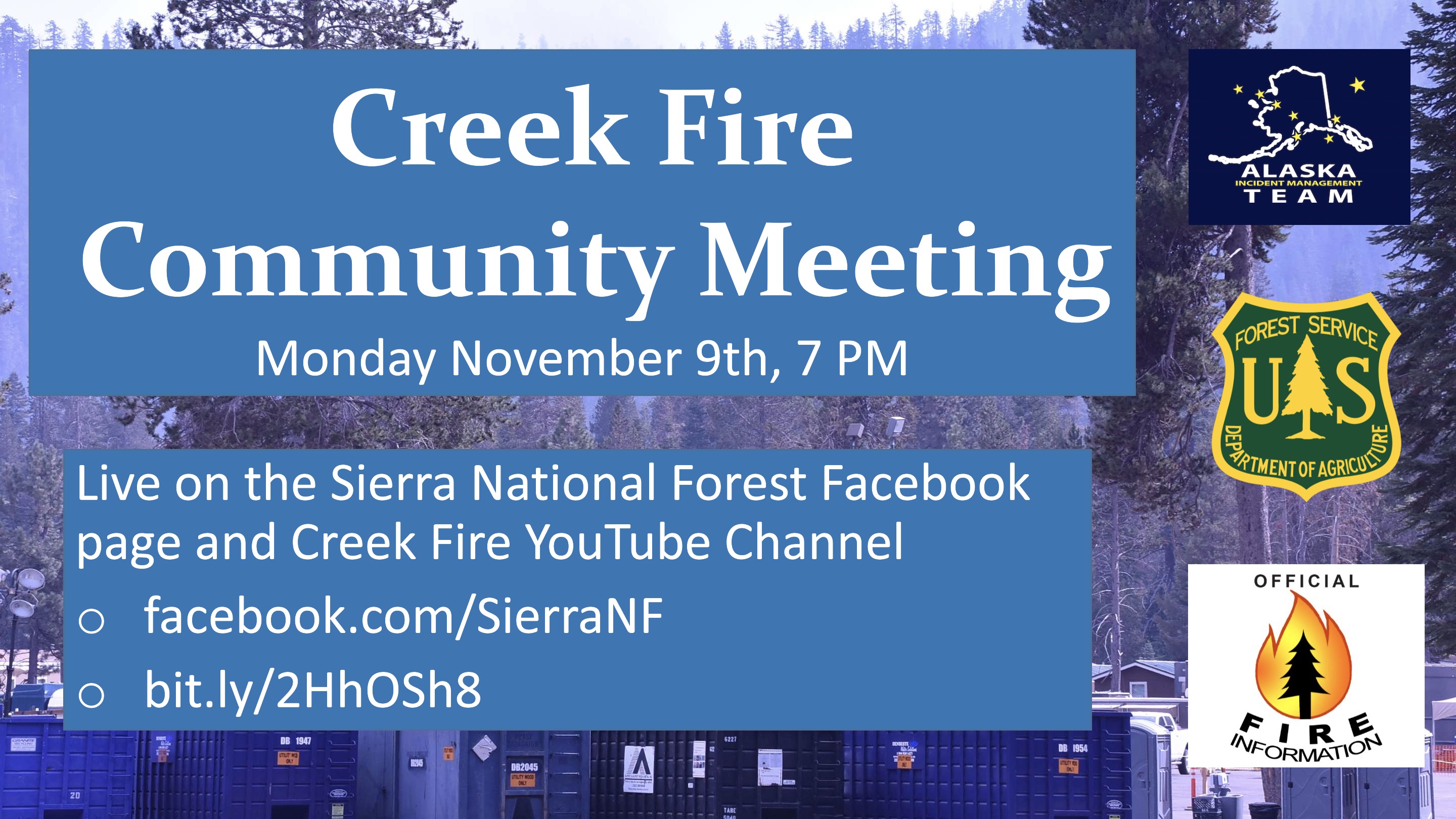
Community Meeting: A virtual community meeting will be held tonight at 7 p.m. The meeting will air live on the Sierra National Forest Facebook page (www.facebook.com/SierraNF) and Creek Fire Information YouTube channel (https://bit.ly/2HhOSh8). Fire managers and Forest representatives will answer questions submitted during the meeting.
Current Situation: Instead of digging fireline, firefighters found themselves digging out of snow on Sunday. As predicted, firefighters awoke to a thick blanket of snow as the first winter storm system of the year hit the High Sierras. Snow started falling across higher elevations before dawn and continued into mid-afternoon, producing significant accumulations that ranged from several inches in Shaver Lake to a foot at Huntington Lake. A combination of rain and snow fell below 4,000 feet, with up to 1 inch of rain recorded in some places.
Pronstico de humo del 89 de noviembre rea de San JoaquinYosemite
Related Incident:
Publication Type: News
Incendios
El incendio de Creek se extiende por 379,729 acres y está contenido en un 70%. La caída de nieve sobre el incendio, de 4 a 12 pulgadas, continuará hoy suprimiendo la actividad del fuego. No se espera propagación del incendio durante el resto de la semana.
Humo
Los combustibles pesados seguirán consumiendo y produciendo algo de humo. No se espera que la producción de humo afecte a las comunidades que rodean el incendio.Actualizacin matinal sobre el incendio de Creek 8 de noviembre de 2020
Related Incident:
Publication Type: News
Actividad del incendio: El incendio creció muy poco el domingo; la mayor parte del fuego activo estuvo aislado en el extremo noreste alrededor de Vermillion Cliffs al norte del lago Thomas A. Edison y el Middle Fork de San Joaquín River. Grandes extensiones de rocas expuestas y acantilados sirven como una barrera natural para limitar la propagación del fuego en esas áreas. Si bien no ha habido un movimiento significativo, el fuego está “eligiendo su camino” por donde hay combustible disponible, dijo el analista de comportamiento del fuego Bryon Kimball. Tres equipos de bomberos especializados que trabajan al norte del lago Thomas A. Edison ya casi terminan de neutralizar las zonas activas en esa área. Los bomberos terminaron de asegurar y neutralizar un punto activo detectado el viernes a alrededor de una milla de la línea de control en el lado oeste del incendio en las cercanías de Little Shuteye Peak al noreste de Bass Lake.
Reparación de supresión: Trabajando en conjunto con una gran cantidad de asesores de recursos y arqueólogos, los contratistas que emplean una extensa flota de equipo pesado han completado trabajos de reparación y rehabilitación en casi 300 de aproximadamente 600 millas del cortafuegos. La mayor parte del trabajo se ha realizado en el lado oeste del incendio, pero queda un trabajo considerable en los lados sureste y este, alrededor de los lagos Shaver y Huntington. Todavía queda trabajo por hacer en muchas millas de carreteras del Servicio Forestal despejadas para ser utilizadas como cortafuegos en el interior del incendio, así como millas de cortafuegos despejadas con topadoras y excavadas a mano. Se aconseja a los automovilistas que tengan mucho cuidado al viajar por las carreteras 168 y 41 y que estén atentos a los equipos de extinción de incendios y a los contratistas que trabajan o viajan por esas áreas.
Clima: Si bien el clima cálido y seco persistirá hasta mediados de la semana, los períodos de nubosidad pasajera asociados con un sistema de baja presión en los niveles superiores en el sur de California recuperarán un poco la humedad relativa, especialmente en los sectores más elevados. La combinación del sistema de baja presión en los niveles superiores, algo de humedad y el flujo cuesta arriba por la tarde podría incluso producir algunas lloviznas ligeras el lunes por la tarde y la noche. Se espera un cambio significativo en el patrón del clima durante el fin de semana, ya que un frente frío se acerca el viernes, lo que traerá temperaturas mucho más bajas, recuperación de la humedad e incluso precipitaciones potenciales en lugares más elevados. Sin embargo, antes de que baje la temperatura, los fuertes vientos prefrontales del suroeste del jueves por la noche al viernes impactarán el fuego. Es posible que se produzcan ráfagas de hasta 50 mph en las crestas, lo que podría resultar problemático para los árboles peligrosos y aumentar brevemente el comportamiento del fuego donde el incendio permanece activo.
Cierres del Bosque Nacional Sierra: Para obtener información más reciente sobre la orden de cierre del bosque, haga clic en https://www.fs.usda.gov/sierra/
Smoke Outlook November 89 San JoaquinYosemite Area
Related Incident:
Publication Type: News
Fire
Creek Fire Update November 8
Related Incident:
Publication Type: News
Current Situation: After more than two months, Mother Nature finally lent a helping hand to firefighters. Light precipitation in the form of snow at higher elevations and rain at lower elevations fell over the fire area Saturday. Thirteen-hundredths of an inch of precipitation was recorded at the High Sierra remote automated weather station about 4 ½ miles southwest of Lake Thomas A. Edison and one-tenth of an inch of rain was measured in Fresno. It marked the first wetting rain (one-tenth of an inch or more) in the area since May 18, a period of 172 days. Though it was just a dusting, the snow that fell in the high-country wilderness along the Fish Creek drainage below Pumice Butte on the northeast corner of the fire about 5 miles south of Mammoth, where the fire has been most active in recent days, definitely helped subdue fire behavior. “It wasn’t a lot of snow and it was really patchy but it was just enough with the higher relative humidity to put the fire to bed, for the most part,” said Alaska Incident Management Team Operations Section Chief Casey Boesflug. More snow is forecast today, with 4-8 inches expected between 4,000-7,000 feet elevation and 10-16 inches at higher elevations. At lower elevations below 4,000 feet, forecasters are calling for 0.25 to 0.75 inches of rain. It remains to be seen if the storm system will produce a season-ending event but “it bodes very well,” said incident Fire Behavior Analyst Byron Kimball. “We may see smoke but we definitely won’t see any movement because the fine fuels have been taken out of the equation,” he said. “The heavy fuels will continue to burn until they are consumed or we get enough moisture to put them out. Sixteen inches of snow could be enough moisture to put them out.” Given the expected conditions, the public is asked to refrain from driving into the fire area to allow firefighters and other personnel to operate safely on what are expected to be treacherous road conditions.
Creek Fire Virtual Community Meeting November 9
Related Incident:
Publication Type: Announcement
Join the Alaska Incident Management Team and the Sierra National Forest for a Virtual Community Meeting November 9th. The meeting will be broadcast live on the Sierra National Forest Facebook page and the Creek Fire YouTube Channel. Questions can be asked in the comments during the meeting, or emailed to 2020.creek@firenet.gov. The team will answer your questions following the presentations.
Sierra National Forest Facebook : www.facebook.com/SierraNF
Creek Fire Youtube Channel : bit.ly/2HhOSh8
Pronstico de humo del 78 de noviembre rea de San JoaquinYosemite
Related Incident:
Publication Type: News
Incendios
El aire frío, la lluvia y la nieve en el incendio del viernes por la noche hasta esta mañana detuvieron la propagación de las llamas del incendio de Creek. Se espera que los combustibles dentro del perímetro del incendio ardan sin llama hasta que se extingan. Se esperan más aire frío y precipitaciones durante el fin de semana. El patrón persistente del clima invernal continúa esta semana y es probable que se den condiciones de finalización de la temporada de incendios.
Humo
Los vientos han despejado el humo de las comunidades que rodean el incendio. Hasta mañana, la lluvia y la nieve de las montañas generarán escasa producción de humo.Actualizacin matutina del incendio de Creek 7 de noviembre de 2020
Related Incident:
Publication Type: News
Situación actual: Soplaron fuertes vientos por todo el incendio el viernes, pero no fueron tan intensos como se habían pronosticado. Mientras que se registraron ráfagas de viento máximas de 73 mph en Mammoth, aproximadamente 5 millas al norte del perímetro, las ráfagas más altas registradas dentro del rastro del incendio fueron de 46 mph en una estación meteorológica remota a más o menos el nivel de 9,000 pies en el Monte Tom al oeste de Mono Hot Springs y al norte del Lago Huntington. Los meteorólogos pronosticaron ráfagas de viento de hasta 55 mph en el área del incendio. Pese a los intensos vientos, los administradores reportaron una propagación de incendios relativamente pequeña, aún en la esquina noreste del incendio, alrededor del Lago Pond Lily y Pumice Butte, donde el incendio ha estado más activo en días recientes. “Sobrevolamos el área (viernes) y el reporte fue que sólo era incendio en tierra y no estaban muy impresionados con la cantidad de viento que tuvimos”, comentó el Jefe de Sección del Equipo de Operación de la Administración de Incidentes de Alaska, Casey Boesflug. El aeroplano con infrarrojo no pudo volar el viernes en la noche, así que no hubo cambios en la extensión general. El viernes durante la noche cayó sobre el fuego poca cantidad de precipitación, en forma de lluvia en las altitudes más bajas y de nieve en las elevaciones más altas. Hay pronóstico de más lluvia y nieve para hoy y el domingo, con una acumulación total de 4-8 pulgadas de nieve en las elevaciones más altas y de ¼-¾ de lluvia en las elevaciones más bajas para el domingo en la noche. Las temperaturas en las elevaciones más altas se pronostica estarán por debajo de 32 grados durante los siguientes días. Dado que hay la posibilidad de condiciones peligrosas en los caminos y el número de personal y equipo trabajando en el incendio, se le pide al público que se abstengan de conducir en el área del incendio. La precipitación, aumento en la humedad relativa y temperaturas más bajas le quitarán mucha vida al incendio, dijo el Analista de Comportamiento de Incendios Byron Kimball. La forma principal en la que el incendio se ha mantenido activo en la esquina noreste es en manchas, o fundición de brasas en frente de este que después encienden combustibles secos en el suelo del bosque. “Las manchas van a disminuir mucho”, comentó Kimball. “Esos combustibles ligeros ya no estarán receptivos a la ignición”.
Reparación de la supresión: Mientras que el trabajo de supresión continuará en muchas secciones del incendio en los lados este, oeste y sur, los administradores de incendios movieron muchas piezas de equipo grande hacia suelo más bajo en anticipación al mal tiempo y las condiciones peligrosas en los caminos. Hoy se moverá más equipo a elevaciones bajas para esperar el impacto de la tormenta el domingo. Hasta la fecha, se ha terminado trabajo en más de 450 de las 600 millas de la línea de fuego que necesitaban reparación.
Reunión con la comunidad: Se llevará a cabo una reunión pública virtual el lunes a las 7 p.m. y se transmitirá en vivo en la página de Facebook del Bosque Nacional Sierra page (www.facebook.com/SierraNF) and the Creek Fire YouTube channel (https://bit.ly/2HhOSh8).
Cierres del Bosque Nacional Sierra: Para ver la información más actualizada por favor de clic en https://www.fs.usda.gov/sierra/
Creek Fire Update November 7
Related Incident:
Publication Type: News
Smoke Outlook November 7 San JoaquinYosemite Area
Related Incident:
Publication Type: News
Cold air, rain and snow on the fire Friday night through this morning stopped fire spread at the Creek fire. Fuels within the fire perimeter are expected to smolder until they are extinguished. More cold air and precipitation are expected through the weekend. The persistent winter weather pattern continues this week and fire season-ending conditions are likely.