
Lightning Ignites Wildfire Near Jackson Peak within Santa Teresa Wilderness
Related Incident:
Publication Type: News
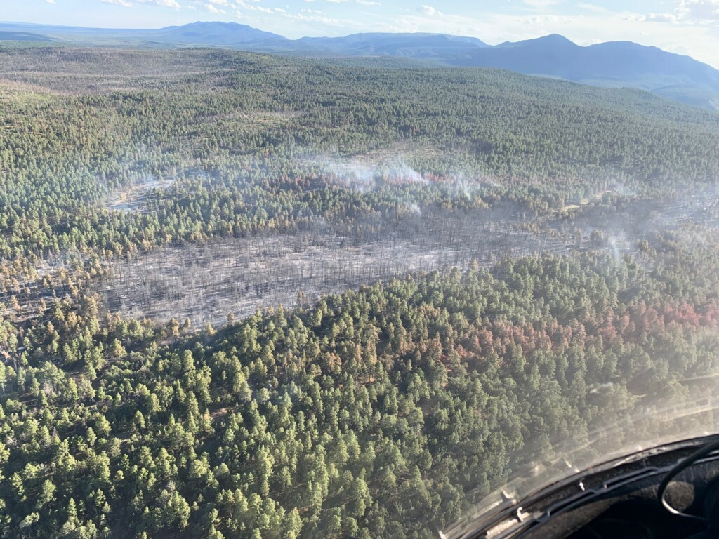
The Jackson fire was ignited by lightning the evening of Saturday July 11 near Jackson Peak in the Santa Teresa wilderness on Bureau of Land Management lands northwest of Safford, Arizona.The fire burns in very steep and rocky terrain composed of thick brushy fuels and grass. Due to increasing complexity, a decision was made to call out the Southeast Zone Type 3 Incident Management Team to manage the fire. Command of the fire was transferred to the incident management team on July 13 at 6 p.m.
An infrared flight surveyed the fire Monday and determined the fire had burned 939 acres. It was moving to the northeast towards San Carlos Apache Reservation lands. Due to the difficulty of the terrain, Monday’s effort was to initiate point protection for local structures and residences and to scout to identify defensible terrain barriers around the fire. Single engine air tankers were employed to slow the fire’s spread.
Two crews and a fire use module are currently assigned to the fire, with another hotshot crew arriving Tuesday. They will be supported by two helicopters and two engines. Air tankers will be available as needed. Additional resources have been ordered. Crews today will again scout and look for opportunities to engage the fire in accessible terrain and continue point protection around structures and residences. The fire is being managed with a full suppression strategy.
Closures: The Black Rock Road is closed at the San Carlos Apache Reservation boundary.
Temporary Flight Restrictions: A temporary flight restriction has been placed over the Jackson fire area.
Restrictions: Stage 2 fire restrictions are in place for Bureau of Land Management, Arizona State lands and the Coronado National Forest which prohibit open fires, fireworks, and target shooting.
For further information, please visit the following links:
Inciweb: https://inciweb.nwcg.gov
Facebook: https://www.facebook.com/BLMArizona
Twitter: https://twitter.com/BLMAZFire
Smoke Outlooks: https://wildlandfiresmoke.net/outlooks
###
Ojo de los Casos Fire Receives More Rain Final Update
Related Incident:
Publication Type: News
July 17, 2020 Update
Twitter: Cibola NF&Grasslands (@Cibola_NF) and New Mexico State Forestry (@NMStateForestry)
###
Ojo de los Casos Fire receives light rain
Related Incident:
Publication Type: News
July 16, 2020 Update
Twitter: Cibola NF&Grasslands (@Cibola_NF) and New Mexico State Forestry (@NMStateForestry)
###
Ojo de los Casos Fire will Transition to Type 4 Incident Tomorrow
Related Incident:
Publication Type: News
Ojo De Los Casos Crews Provide Mutual Aid on Grass Fire
Related Incident:
Publication Type: News
How a dirty burn affects wildfire containment percentage
Related Incident:
Publication Type: News
July 11, 2020 Mountainair, NM – For Immediate Release
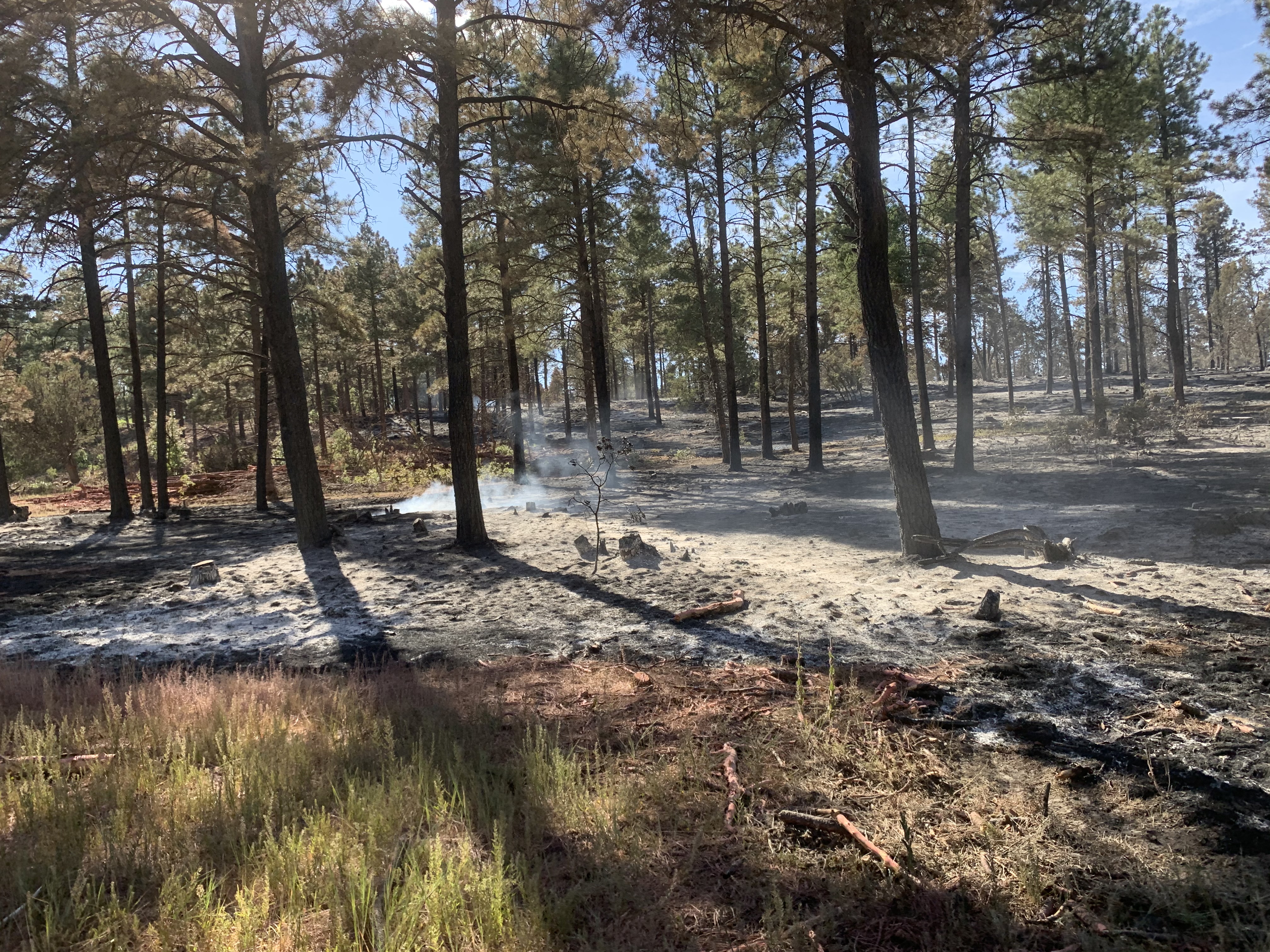
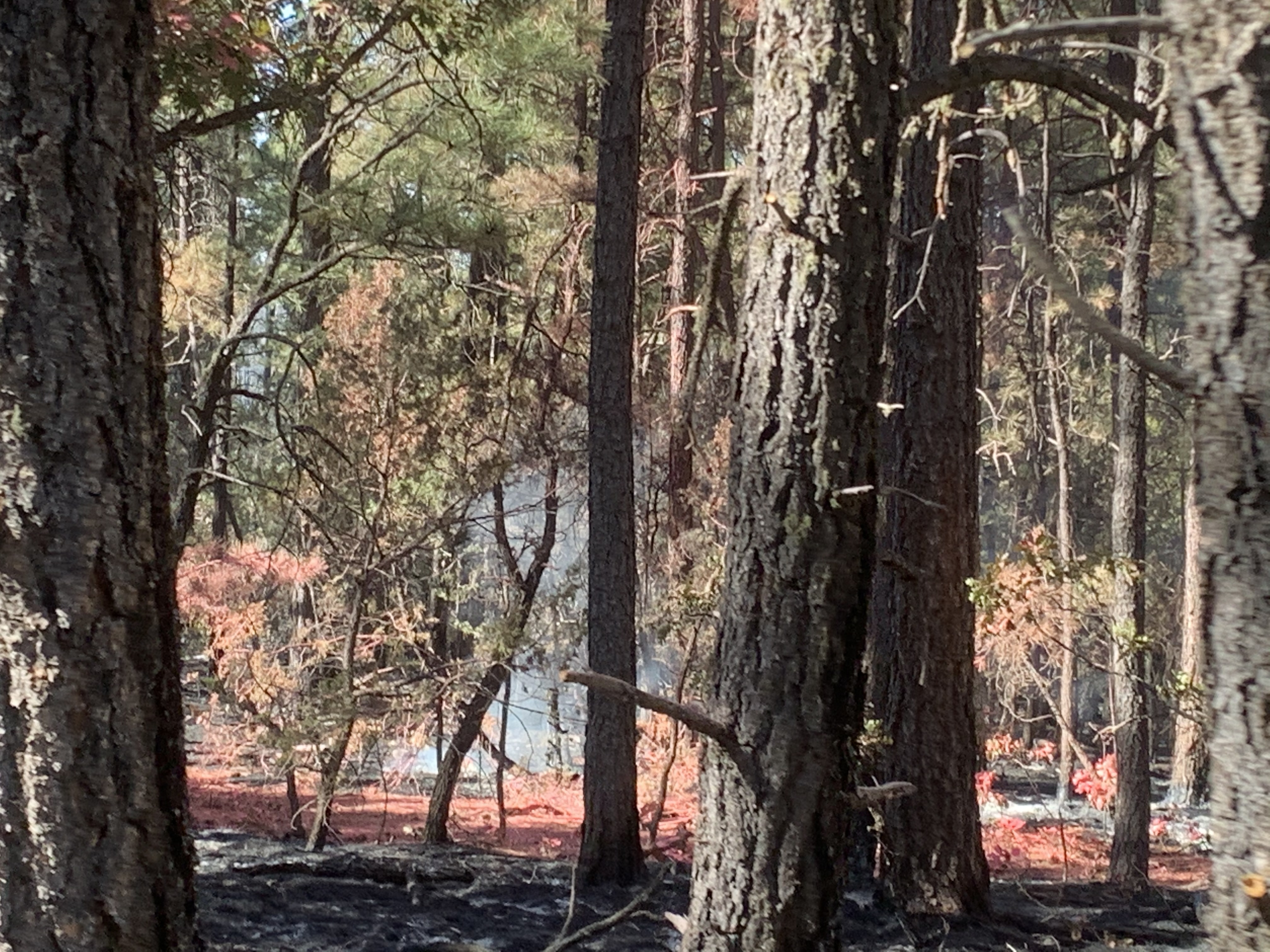
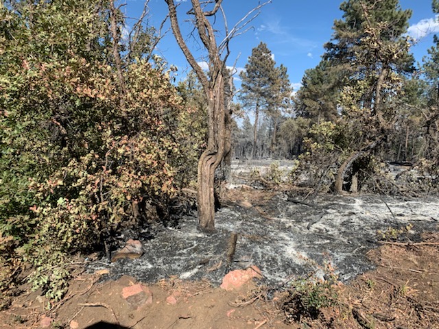
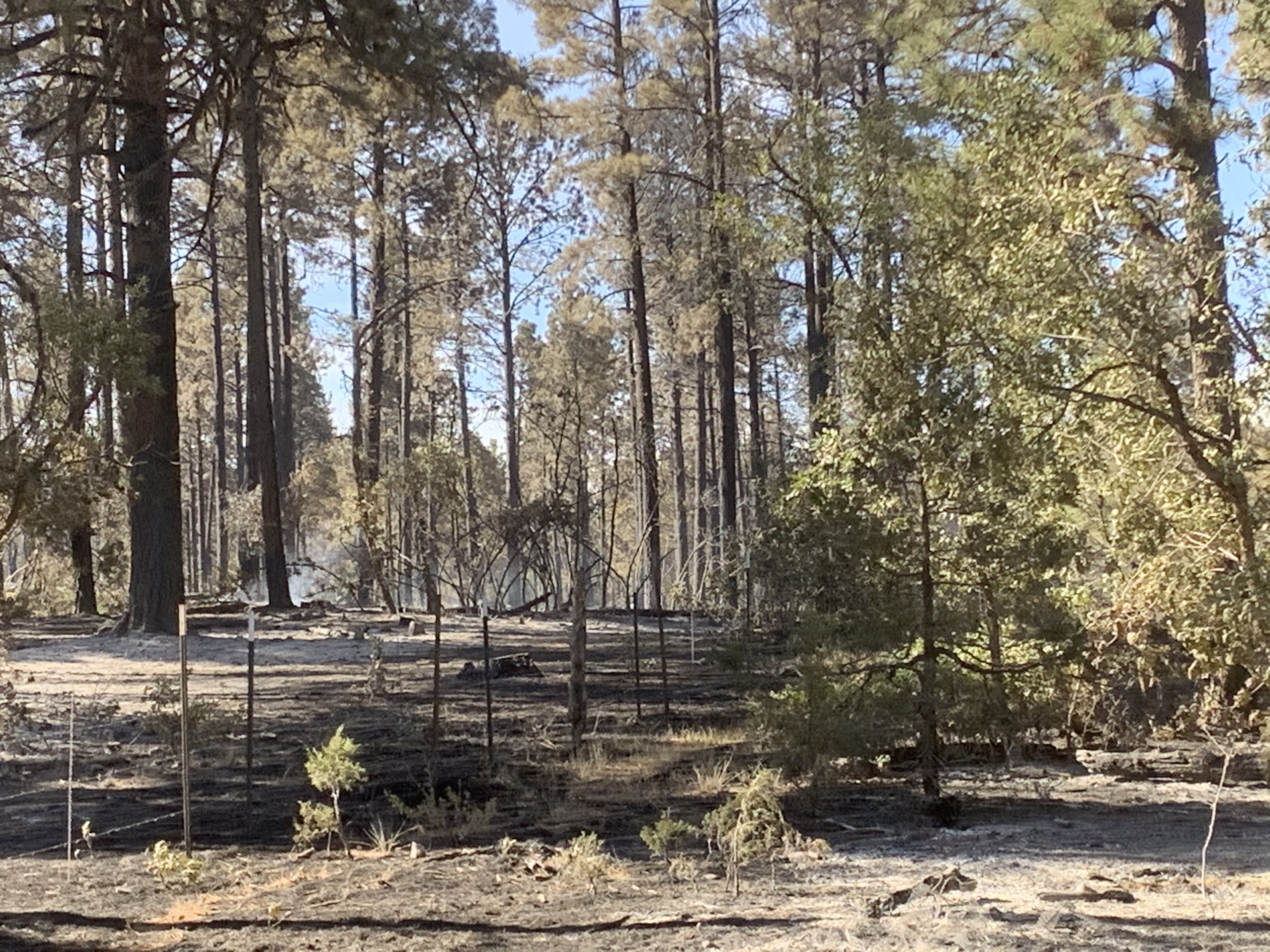
Wildfire perimeters aren’t always easy to define. When drawn on a public map, they are often depicted as one simple line to describe the outermost bounds of the area that is burning. However, fire may not burn evenly throughout the interior of that fire, so things might look quite different on the ground. The reasons for the manner of fire spread are numerous (e.g., weather, fuel loads, suppression actions). The Ojo de los Casos Fire falls into this category.
This fire is made up of many patches of burned and unburned vegetation. In cases such as this, lingering heat can hide within unburned fuels close to the ground. This heat may not be recognized until weather and fuel conditions are just right for ignition. Once ignited, these areas could burn hot and fast. Firefighters call this a “dirty” or “scabby” burn.
Complete “containment” is the ultimate goal for the fire management team in command of fire suppression activities. To reach containment, fire managers must attain a high level of confidence that the fire will not spread beyond a defined boundary and that unburned fuels within the perimeter and in the surrounding landscape are not at risk of igniting (spot fires). Until firefighters have a high level of confidence that no significant heat resides adjacent to the physical containment line, containment percentage estimates remain conservative.
Ojo de Los Casos Fire Information: 505-369-6521, 2020.ojodeloscasos@firenet.gov
Inciweb: https://inciweb.nwcg.gov/incident/6837/
New Mexico Fire Information: www.nmfireinfo.com
Facebook: Cibola National Forest & National Grasslands (@cibolanf) https://www.facebook.com/cibolanf/
Twitter: Cibola NF&Grasslands; (@Cibola_NF) https://twitter.com/cibola_nf?lang=en