
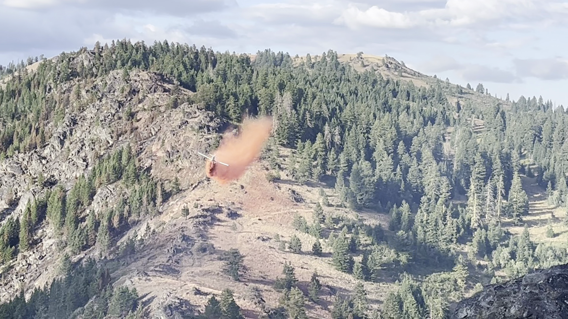
The Limepoint Fire is 100% contained. The Oxbow and Cliff Mountain Fires were managed as a part of the Limepoint fire. All three of these fires are 100% contained with no threat of continued fire spread. Until the snow covers the interior area of these fires there is a chance that isolated hotspots may flair up. Fire managers are monitoring for these hotspots and will, as necessary send firefighting resources to suppress hotspots if necessary.
Burned Area Emergency Recover (BAER) work continues to take place in areas of the fires that need work done to prevent sediment runoff into stream. BAER work centers on emergency measures that may need to be taken to stabilize the fire area before winter comes, and potential work that may need to be done over several months with a focus on prevention on erosion due to vegetation having been burned off the landscape. A fire intensity map has been developed and shows that approximately 7% of the total burned area burned with high fire intensity - these are the areas where BAER work is focused on.
The fire closure for the entirety of the Limepoint Fire has been rescinded. There are no closures in relation to this fire. Please note that the fire closure for the Lava Fire remains in effect on the east side of the council Ranger district in the Indian Valley area.
Be safe while in a burned area. A burned landscape presents a number of safety hazards that either did not exist prior to the fire or have been exacerbated by the effects of the fire. In some cases, these hazardous conditions may persist for several years after a fire. Be very aware of your surroundings, follow warning signs and directions from agency personnel, and pay particular attention to these potential safety hazards:
- Unstable terrain!
- Hazard trees!
- Burned stumps and root chambers!
- Flash Flooding and debris flows!
*Abandoned hunter warming fires are being found across the landscape with another one reported just yesterday. These human-caused fires require our firefighting resources to respond and takes them away from work being done within the Limepoint Fire area.
This page will be updated as information becomes available. Please call the Payette National Forest fire information line with questions: 208-634-0820.
All Payette NF fire restrictions have been lifted. Campfires should never be left unattended and should be completely extinguished. For more information click this link or visit the Idaho's fire restrictions website at: https://www.idl.idaho.gov/fire-management/fire-restrictions-finder/
| Current as of | Tue, 10/22/2024 - 12:13 |
|---|---|
| Incident Time Zone | America/Boise |
| Incident Type | Wildfire |
| Cause | Lightning/Natural |
| Date of Origin | |
| Coordinates |
45° 04' 3'' Latitude
-116° 45' 3
'' Longitude
|
| Size | 33,084 Acres |
|---|---|
| Percent of Perimeter Contained | 100% |