Incident Media Photographs
Could not determine your location.
 Wildfire
 Prescribed Fire
 Burned Area
Response
Burned Area
Response Other
Other
Photographs Gallery
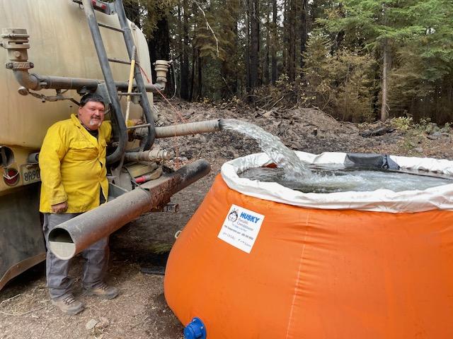
Pumpkin Filled to Provide Onsite Water
Smoke rises near the Pearch Fire, part of the 2023 SRF Lightning Complex and Redwood Lightning Complex
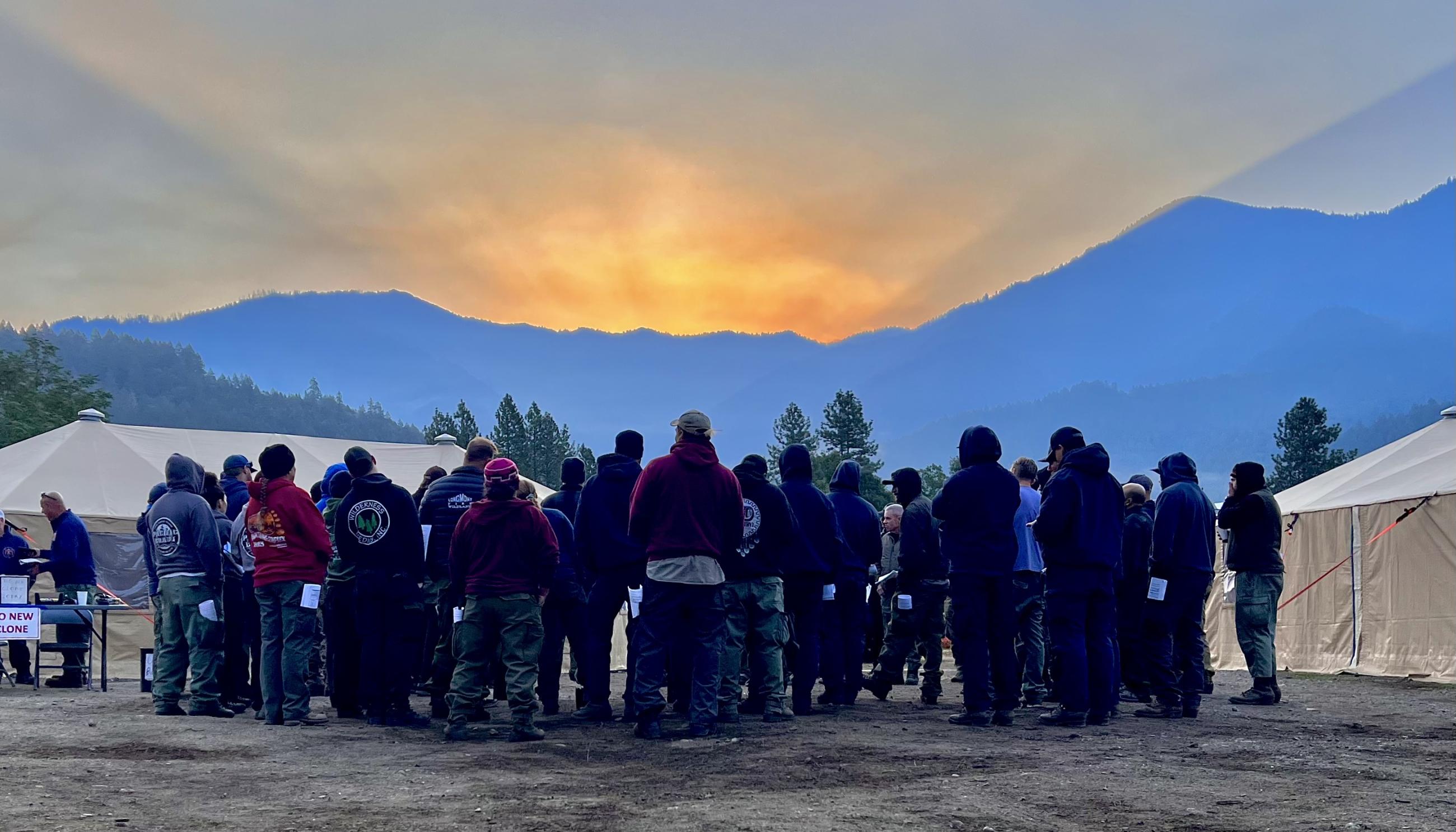
Firefighters enjoy a great view at briefing as the sun rises over the mountains in Orleans

A UAS Operator flies a reconnaissance mission on Division J on the 2023 SRF Lightning Complex and Redwood Lightning Complex
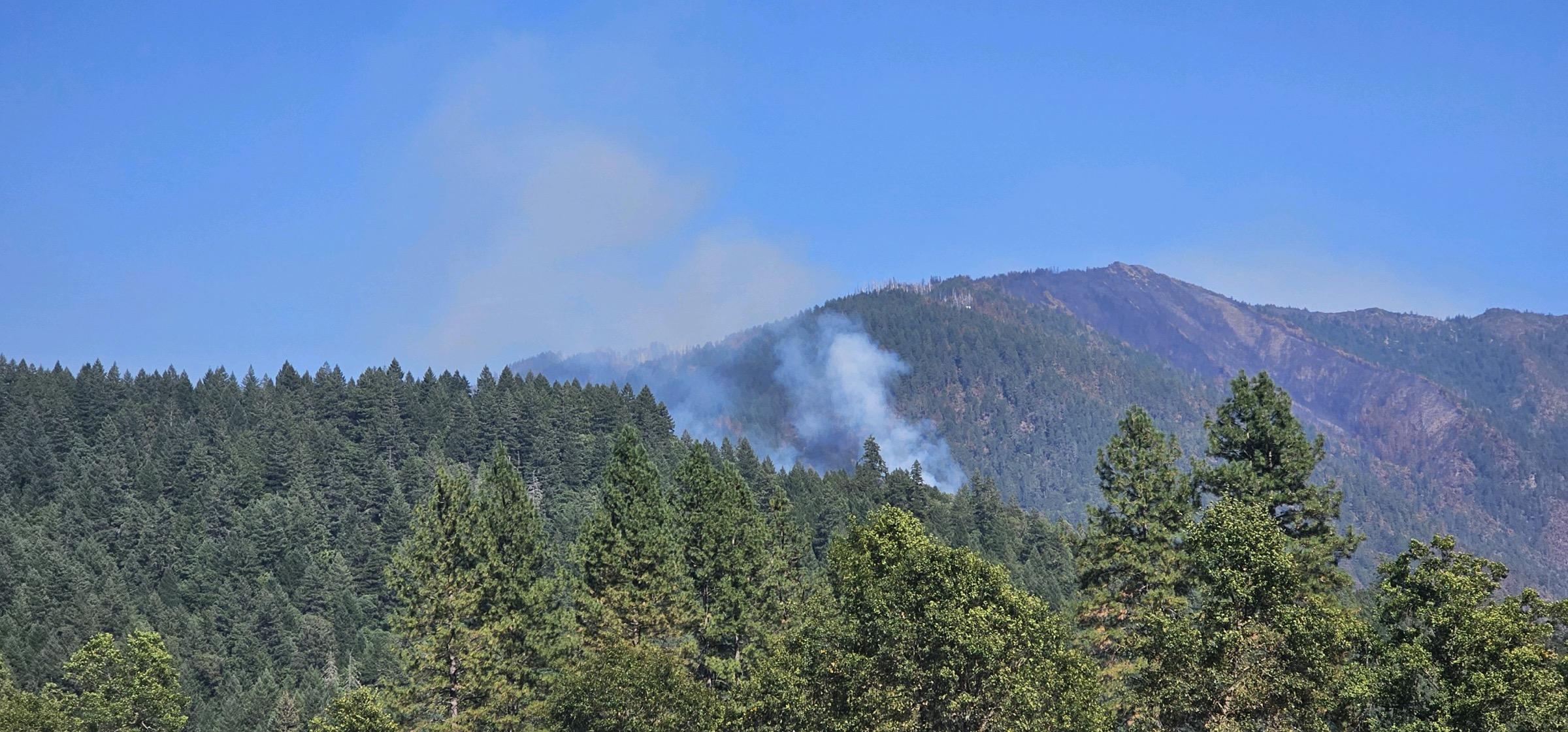
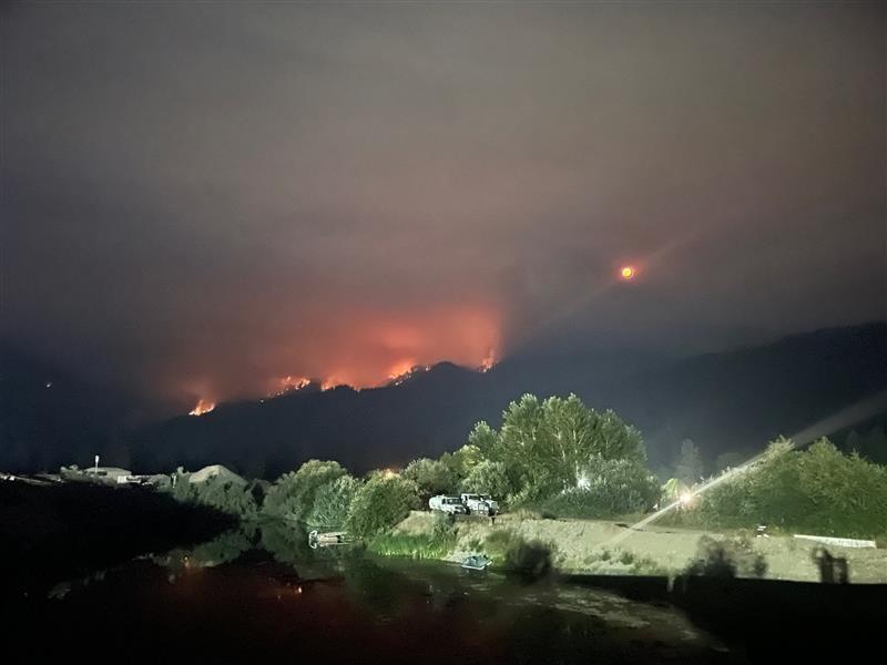
A plume of smoke rises near Orleans. As temperatures rise and fuels dry out, smoke plumes like this will start becoming more visible as pockets of fuel on the interior perimeters of the fires on the 2023 SRF Lightning Complex and Redwood Lightning Complex are burned by increased fire activity.
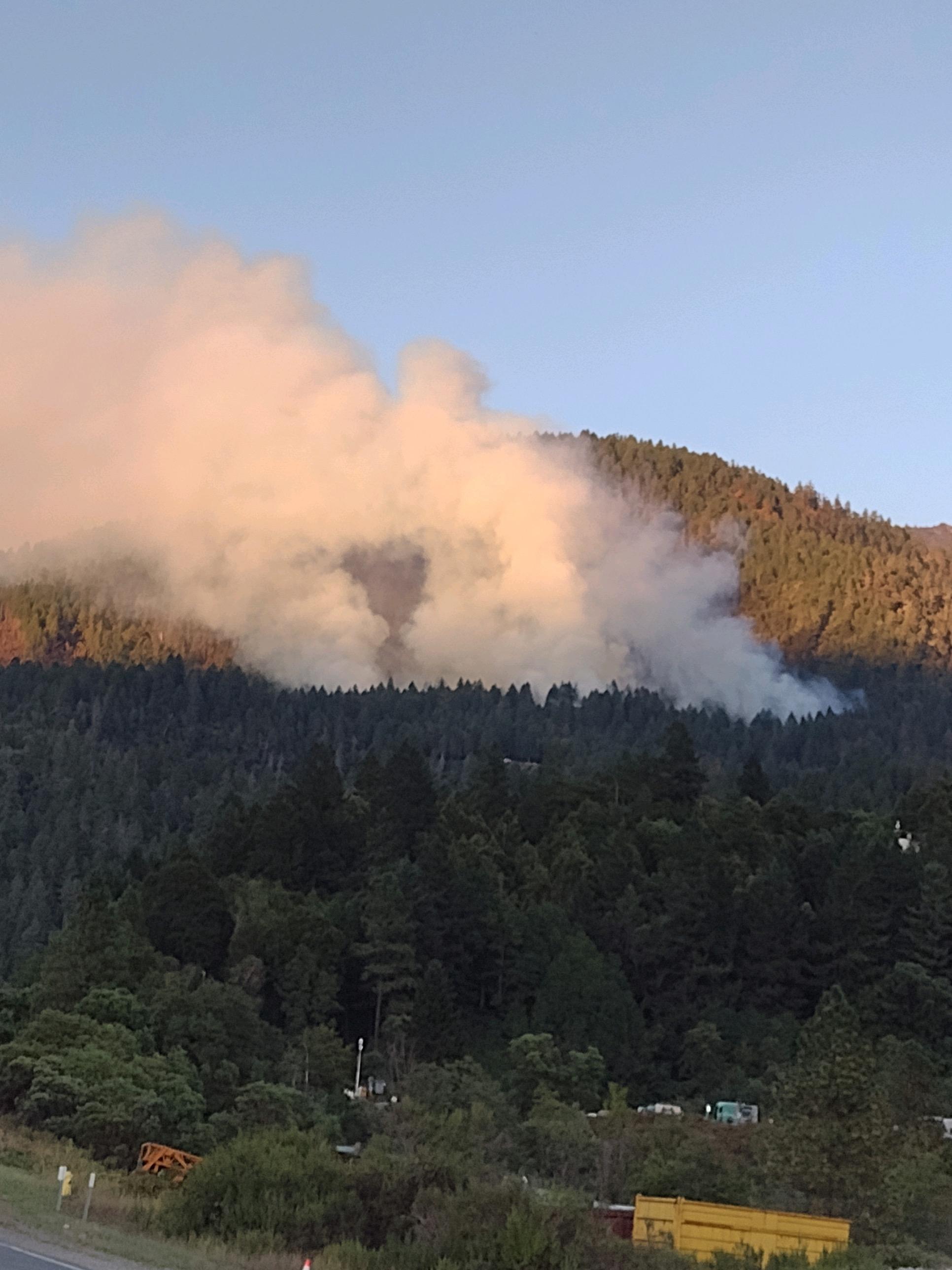
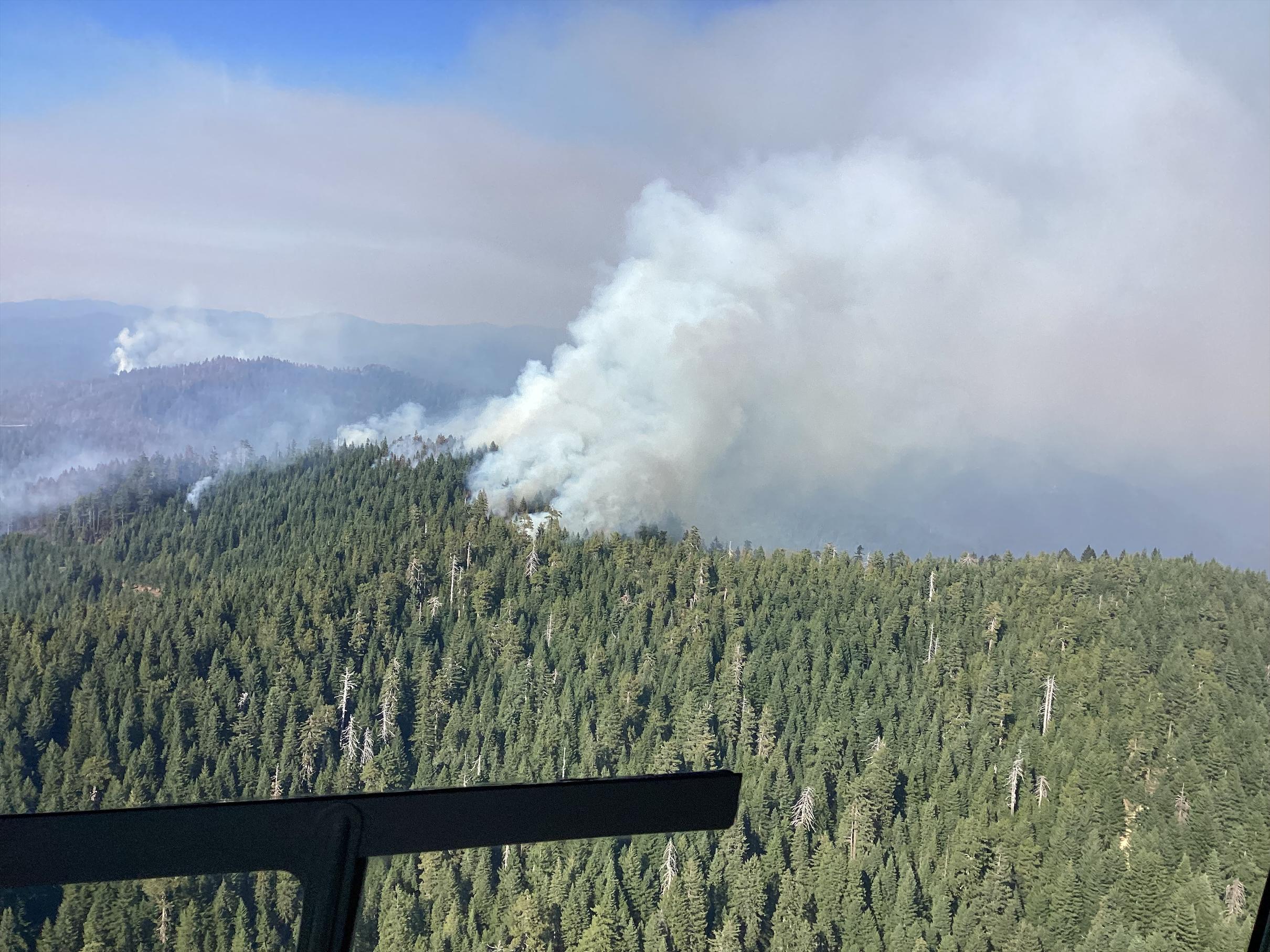
A smoke plume rises from Pearch Fire on 9/9/23. As fuels dry out and temperatures rise, pockets of unburned fuels within the fire perimeter will become more active and produce more smoke.
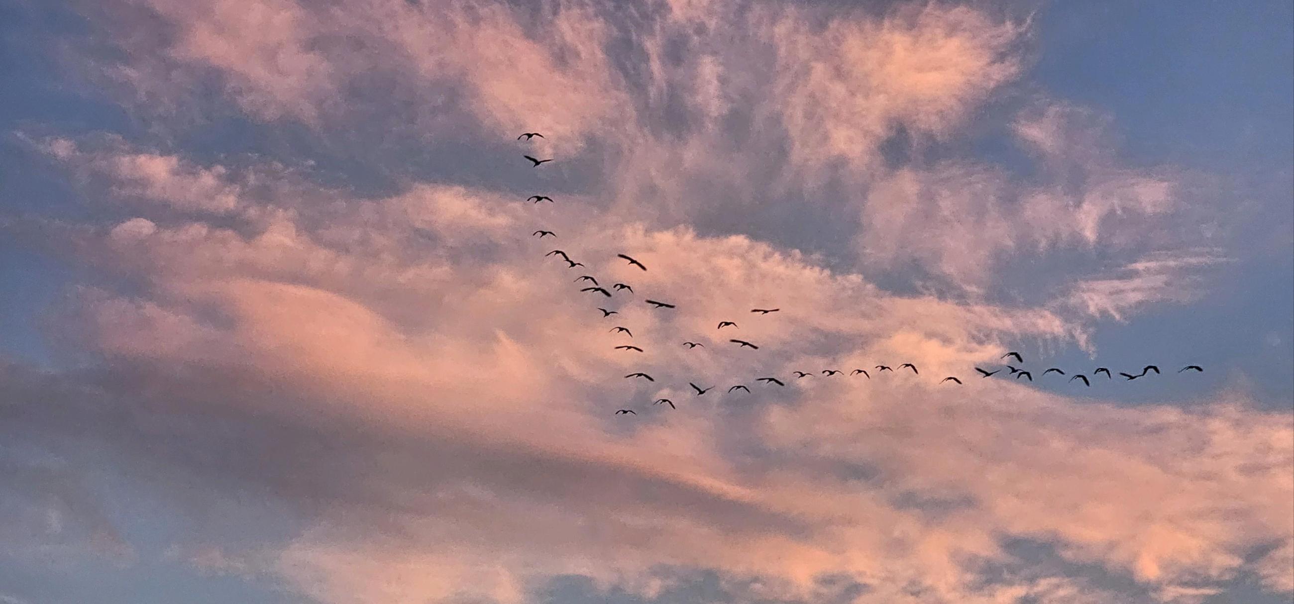
A flock of birds flies over the 2023 SRF Lightning Complex and Redwood Lightning Complex
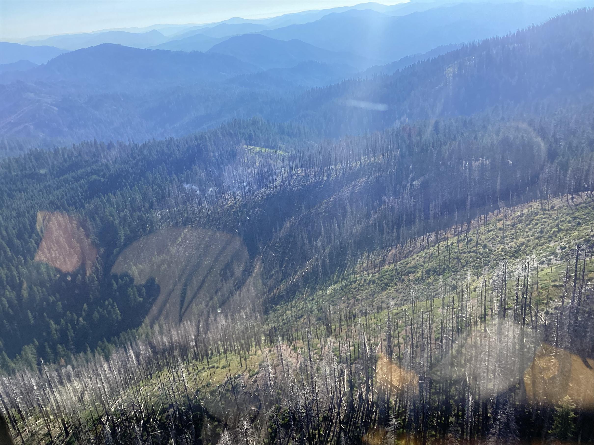
Photo from a reconnaissance flight conducted over the 2023 SRF Lightning Complex and Redwood Lightning Complex

A UAS Operator uses a digital map to program a reconnaissance flight on the 2023 SRF Lightning Complex and Redwood Lightning Complex
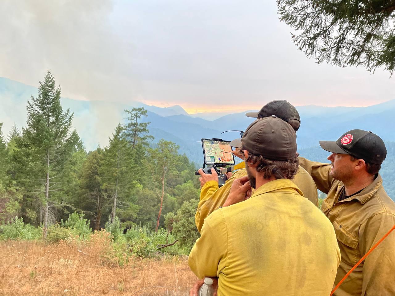
A UAS (drone) operator flies a reconnaissance flight while a Division Supervisor and Burn Boss watch.
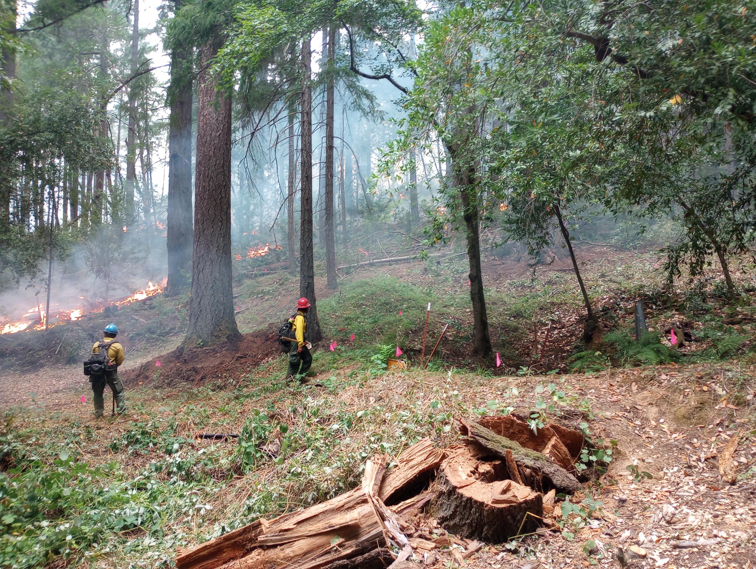
Resource Advisors are working to locate, identify, and mark any resources that may be damaged by the fires burning within the SRF Lightning Complex and Redwood Lightning Complex or by fire suppression activities. These areas are sometimes referred to as "values at risk" and can be anything from residential houses and cabins, to water sources, to cultural and historical sites.